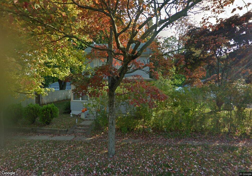
141 Jackson St Haskell, NJ 07420
Estimated Value: $516,082
Studio
--
Bath
1,376
Sq Ft
$375/Sq Ft
Est. Value
About This Home
This home is located at 141 Jackson St, Haskell, NJ 07420 and is currently estimated at $516,082, approximately $375 per square foot. 141 Jackson St is a home located in Passaic County with nearby schools including Lakeland Reg High School and St Marys School.
Ownership History
Date
Name
Owned For
Owner Type
Purchase Details
Closed on
Aug 25, 2010
Sold by
King Joseph and King Mary Ann
Bought by
Mills Michael C and Mills Esther
Current Estimated Value
Home Financials for this Owner
Home Financials are based on the most recent Mortgage that was taken out on this home.
Original Mortgage
$260,737
Outstanding Balance
$173,132
Interest Rate
4.55%
Mortgage Type
FHA
Estimated Equity
$342,950
Purchase Details
Closed on
Jun 25, 2001
Sold by
Williams Kevin
Bought by
King Joe and Klees Mary
Home Financials for this Owner
Home Financials are based on the most recent Mortgage that was taken out on this home.
Original Mortgage
$130,000
Interest Rate
7.14%
Purchase Details
Closed on
Nov 27, 1996
Sold by
Whitacre Janine
Bought by
Williams Kevin and Williams Raquel
Home Financials for this Owner
Home Financials are based on the most recent Mortgage that was taken out on this home.
Original Mortgage
$192,000
Interest Rate
7.75%
Mortgage Type
VA
Create a Home Valuation Report for This Property
The Home Valuation Report is an in-depth analysis detailing your home's value as well as a comparison with similar homes in the area
Home Values in the Area
Average Home Value in this Area
Purchase History
| Date | Buyer | Sale Price | Title Company |
|---|---|---|---|
| Mills Michael C | $270,000 | -- | |
| King Joe | $204,900 | -- | |
| King Joe | $204,900 | -- | |
| Williams Kevin | $154,000 | -- |
Source: Public Records
Mortgage History
| Date | Status | Borrower | Loan Amount |
|---|---|---|---|
| Open | Mills Michael C | $260,737 | |
| Previous Owner | King Joe | $130,000 | |
| Previous Owner | Williams Kevin | $192,000 |
Source: Public Records
Tax History
| Year | Tax Paid | Tax Assessment Tax Assessment Total Assessment is a certain percentage of the fair market value that is determined by local assessors to be the total taxable value of land and additions on the property. | Land | Improvement |
|---|---|---|---|---|
| 2025 | -- | $213,700 | $106,000 | $107,700 |
| 2024 | -- | $213,700 | $106,000 | $107,700 |
Source: Public Records
Map
Nearby Homes
- 1216 Ringwood Ave
- 13 Roger Ave
- 43 Elston Ct Unit 301
- 36 Elston Ct
- 2 Roger Ave
- 23 Dogwood Ln
- 19 Dogwood Ln Unit 19
- 19 Dogwood Ln Unit U9F
- 19 Skyland Ave
- 0 Shady Ave
- 24 Roseland Ave
- 344 Union Ave
- 38 Wanaque Ave
- 5 Storms Place
- 120 Hershfield St
- 68 Mountainside Dr
- 86 Burnside Place
- 136 Mountainside Dr
- 17 Locust St
- 46A Walnut St
- 139 Jackson St
- 145 Jackson St
- 137 Jackson St
- 24 Whistler Place
- 140 Jackson St
- 142 Jackson St
- 135 Jackson St
- 147 Jackson St
- 144 Jackson St
- 138 Jackson St
- 26 Whistler Place
- 146 Jackson St
- 136 Jackson St
- 9 Franklin Place
- 11 Franklin Place
- 28 Whistler Place
- 7 Franklin Place
- 133 Jackson St
- 148 Jackson St
- 136 Monroe St
Your Personal Tour Guide
Ask me questions while you tour the home.