141 Jellabel Ct Cle Elum, WA 98922
Estimated Value: $2,053,483 - $2,755,000
4
Beds
4
Baths
3,720
Sq Ft
$617/Sq Ft
Est. Value
About This Home
This home is located at 141 Jellabel Ct, Cle Elum, WA 98922 and is currently estimated at $2,296,871, approximately $617 per square foot. 141 Jellabel Ct is a home located in Kittitas County with nearby schools including Cle Elum Roslyn Elementary School, Walter Strom Middle School, and Cle Elum Roslyn High School.
Ownership History
Date
Name
Owned For
Owner Type
Purchase Details
Closed on
Oct 2, 2015
Sold by
Morse Clint D and Morse Shelly
Bought by
Morse 2015 Qualified Personal Residence
Current Estimated Value
Purchase Details
Closed on
Jul 20, 2006
Sold by
Suncadia Llc
Bought by
Morse Clint D and Morse Shelly L
Home Financials for this Owner
Home Financials are based on the most recent Mortgage that was taken out on this home.
Original Mortgage
$365,500
Interest Rate
6.43%
Mortgage Type
Unknown
Create a Home Valuation Report for This Property
The Home Valuation Report is an in-depth analysis detailing your home's value as well as a comparison with similar homes in the area
Home Values in the Area
Average Home Value in this Area
Purchase History
| Date | Buyer | Sale Price | Title Company |
|---|---|---|---|
| Morse 2015 Qualified Personal Residence | -- | None Available | |
| Morse Clint D | $429,050 | Amerititle |
Source: Public Records
Mortgage History
| Date | Status | Borrower | Loan Amount |
|---|---|---|---|
| Previous Owner | Morse Clint D | $365,500 |
Source: Public Records
Tax History Compared to Growth
Tax History
| Year | Tax Paid | Tax Assessment Tax Assessment Total Assessment is a certain percentage of the fair market value that is determined by local assessors to be the total taxable value of land and additions on the property. | Land | Improvement |
|---|---|---|---|---|
| 2025 | $12,838 | $2,054,810 | $450,500 | $1,604,310 |
| 2023 | $12,838 | $1,885,840 | $418,000 | $1,467,840 |
| 2022 | $10,412 | $1,446,090 | $278,750 | $1,167,340 |
| 2021 | $9,999 | $1,324,070 | $205,250 | $1,118,820 |
| 2019 | $8,718 | $1,150,140 | $146,500 | $1,003,640 |
| 2018 | $6,672 | $834,150 | $111,370 | $722,780 |
| 2017 | $6,672 | $834,150 | $111,370 | $722,780 |
| 2016 | $6,694 | $834,150 | $111,370 | $722,780 |
| 2015 | $7,137 | $834,150 | $111,370 | $722,780 |
| 2013 | -- | $834,150 | $111,370 | $722,780 |
Source: Public Records
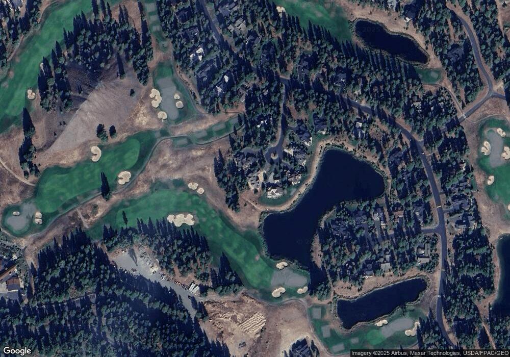
Map
Nearby Homes
- 1481 Coal Mine Way
- 571 Richards Rd
- 1561 Coal Mine Way
- 950 Coal Mine Way
- 930 Coal Mine Way
- 221 Tipple Hill Loop
- 70 Monabel Ct
- 301 Tipple Hill Loop
- 240 Monabel Ct
- 2040 Coal Mine Way
- 2101 Coal Mine Way
- 100 Black Nugget Ln
- 722 S A St
- 530 Spragger Way
- 706 S A St
- 610 Spragger Way
- 602 S 1st St
- 262 Black Nugget Ln
- 81 Bullwheel Ln
- 420 Black Nugget Ln
- 130 Jellabel Ct
- 131 Jellabel Ct
- 120 Jellabel Ct
- 111 Jellabel Ct
- 100 Jellabel Ct
- 61 Jellabel Ct
- 60 Jellabel Ct
- 31 Jellabel Ct
- 1431 Coal Mine Way
- 1331 Coal Mine Way
- 141 Powder Cap Ct
- 1461 Coal Mine Way
- 1281 Coal Mine Way
- 121 Powder Cap Ct
- 1241 Coal Mine Way
- 1360 Coal Mine Way
- 1330 Coal Mine Way
- 1420 Coal Mine Way
- 140 Powder Cap Ct
- 1201 Coal Mine Way