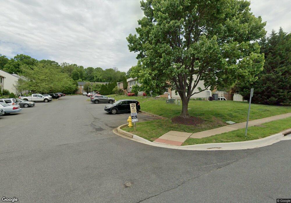
141 Laurel Woods Ct Abingdon, MD 21009
Estimated Value: $283,442 - $313,000
--
Bed
2
Baths
1,240
Sq Ft
$239/Sq Ft
Est. Value
About This Home
This home is located at 141 Laurel Woods Ct, Abingdon, MD 21009 and is currently estimated at $296,611, approximately $239 per square foot. 141 Laurel Woods Ct is a home located in Harford County with nearby schools including Ring Factory Elementary School, Patterson Mill Middle School, and Patterson Mill High School.
Ownership History
Date
Name
Owned For
Owner Type
Purchase Details
Closed on
Jul 8, 2019
Sold by
Bomert Raymond Stanley
Bought by
Bomert Raymond Stanley and Bomert Kristine W
Current Estimated Value
Purchase Details
Closed on
May 1, 1997
Sold by
Bomert Raymond Stanley
Bought by
Bomert Raymond Stanley and Bomert Margaret Helen
Purchase Details
Closed on
Nov 4, 1996
Sold by
Donithan Wayne
Bought by
Bomert Raymond Stanley and Bomert Margaret Helen
Purchase Details
Closed on
Feb 28, 1990
Sold by
Ryan Operations G P
Bought by
Donithan Wayne
Home Financials for this Owner
Home Financials are based on the most recent Mortgage that was taken out on this home.
Original Mortgage
$85,550
Interest Rate
10.31%
Create a Home Valuation Report for This Property
The Home Valuation Report is an in-depth analysis detailing your home's value as well as a comparison with similar homes in the area
Home Values in the Area
Average Home Value in this Area
Purchase History
| Date | Buyer | Sale Price | Title Company |
|---|---|---|---|
| Bomert Raymond Stanley | -- | Getz Title Group Llc | |
| Bomert Raymond Stanley | -- | -- | |
| Bomert Raymond Stanley | $96,000 | -- | |
| Donithan Wayne | $84,100 | -- |
Source: Public Records
Mortgage History
| Date | Status | Borrower | Loan Amount |
|---|---|---|---|
| Previous Owner | Donithan Wayne | $85,550 | |
| Closed | Bomert Raymond Stanley | -- |
Source: Public Records
Tax History Compared to Growth
Tax History
| Year | Tax Paid | Tax Assessment Tax Assessment Total Assessment is a certain percentage of the fair market value that is determined by local assessors to be the total taxable value of land and additions on the property. | Land | Improvement |
|---|---|---|---|---|
| 2025 | $2,186 | $217,400 | $0 | $0 |
| 2024 | $2,186 | $205,000 | $0 | $0 |
| 2023 | $2,079 | $192,600 | $55,000 | $137,600 |
| 2022 | $1,980 | $183,267 | $0 | $0 |
| 2021 | $1,899 | $173,933 | $0 | $0 |
| 2020 | $1,899 | $164,600 | $55,000 | $109,600 |
| 2019 | $1,899 | $164,600 | $55,000 | $109,600 |
| 2018 | $1,882 | $164,600 | $55,000 | $109,600 |
| 2017 | $1,903 | $166,400 | $0 | $0 |
| 2016 | -- | $166,400 | $0 | $0 |
| 2015 | $1,994 | $166,400 | $0 | $0 |
| 2014 | $1,994 | $168,200 | $0 | $0 |
Source: Public Records
Map
Nearby Homes
- 134 Spruce Woods Ct
- 214 Maple Wreath Ct
- 2530 Merrick Ct
- 2601 Merrick Way
- 2521 Merrick Ct
- 111 Cinnamon Tree Dr
- 129 Long Meadow Ct
- 307 Tall Pines Ct Unit 3
- 2807 Emmorton Rd
- 2411 Grand Oaks Ct
- 2902 Preston Ln
- 2815 Lanarkshire Way
- 104 Singer Rd
- 2414 Laurel Bush Rd
- 2608 Laurel Valley Garth
- 301 Tiree Ct Unit 303
- 211 E Wheel Rd
- 566 Kirkcaldy Way
- 213 High Meadow Terrace
- Parkland Plan at Bell's Tower - Bell's Tower
- 143 Laurel Woods Ct
- 139 Laurel Woods Ct
- 137 Laurel Woods Ct
- 145 Laurel Woods Ct
- 135 Laurel Woods Ct
- 147 Laurel Woods Ct
- 125 Laurel Woods Ct
- 127 Laurel Woods Ct
- 129 Laurel Woods Ct
- 123 Laurel Woods Ct
- 131 Laurel Woods Ct
- 121 Laurel Woods Ct
- 150 Laurel Woods Ct
- 148 Laurel Woods Ct
- 152 Laurel Woods Ct
- 119 Laurel Woods Ct
- 154 Laurel Woods Ct
- 156 Laurel Woods Ct
- 117 Laurel Woods Ct
- 146 Laurel Woods Ct