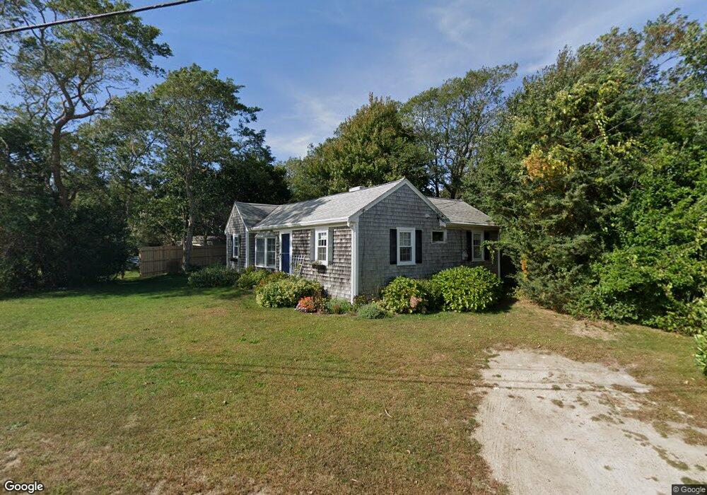
141 Leeward Rd Bourne, MA 2532
Estimated Value: $714,000 - $806,616
2
Beds
2
Baths
743
Sq Ft
$1,036/Sq Ft
Est. Value
About This Home
This home is located at 141 Leeward Rd, Bourne, MA 2532 and is currently estimated at $769,654, approximately $1,035 per square foot. 141 Leeward Rd is a home located in Barnstable County with nearby schools including Bourne High School.
Ownership History
Date
Name
Owned For
Owner Type
Purchase Details
Closed on
Jul 18, 2013
Sold by
Bouchard John J Est and Bouchard
Bought by
Dineen Gerald D and Dineen Leanne M
Current Estimated Value
Home Financials for this Owner
Home Financials are based on the most recent Mortgage that was taken out on this home.
Original Mortgage
$250,000
Outstanding Balance
$157,681
Interest Rate
3.92%
Mortgage Type
New Conventional
Estimated Equity
$611,973
Create a Home Valuation Report for This Property
The Home Valuation Report is an in-depth analysis detailing your home's value as well as a comparison with similar homes in the area
Home Values in the Area
Average Home Value in this Area
Purchase History
| Date | Buyer | Sale Price | Title Company |
|---|---|---|---|
| Dineen Gerald D | $312,500 | -- | |
| Dineen Gerald D | $312,500 | -- | |
| Dineen Gerald D | $312,500 | -- |
Source: Public Records
Mortgage History
| Date | Status | Borrower | Loan Amount |
|---|---|---|---|
| Open | Dineen Gerald D | $250,000 | |
| Closed | Dineen Gerald D | $250,000 |
Source: Public Records
Tax History Compared to Growth
Tax History
| Year | Tax Paid | Tax Assessment Tax Assessment Total Assessment is a certain percentage of the fair market value that is determined by local assessors to be the total taxable value of land and additions on the property. | Land | Improvement |
|---|---|---|---|---|
| 2025 | $5,555 | $711,300 | $523,500 | $187,800 |
| 2024 | $5,432 | $677,300 | $498,500 | $178,800 |
| 2023 | $5,282 | $599,500 | $441,200 | $158,300 |
| 2022 | $4,551 | $451,000 | $325,400 | $125,600 |
| 2021 | $4,192 | $389,200 | $296,100 | $93,100 |
| 2020 | $4,097 | $381,500 | $293,300 | $88,200 |
| 2019 | $3,957 | $376,500 | $293,300 | $83,200 |
| 2018 | $3,737 | $354,600 | $279,400 | $75,200 |
| 2017 | $3,959 | $384,400 | $309,900 | $74,500 |
| 2016 | $3,870 | $380,900 | $309,900 | $71,000 |
| 2015 | $4,171 | $414,200 | $359,800 | $54,400 |
Source: Public Records
Map
Nearby Homes
- 141 Leeward Rd
- 139 Leeward Rd
- 139 Leeward Rd
- 143 Leeward Rd
- 140 Mashnee Rd
- 174 Leeward Rd
- 174 Leeward Rd
- 174 Leeward Rd Unit 1
- 138 Mashnee Rd
- 142 Mashnee Rd
- 137 Leeward Rd
- 138 Mashnee Rd
- 172 Leeward Rd
- 176 Leeward Rd
- 172 Leeward Rd
- 137 Leeward Rd
- 145 Leeward Rd
- 136 Mashnee Rd
- 144 Mashnee Rd
- 170 Leeward Rd