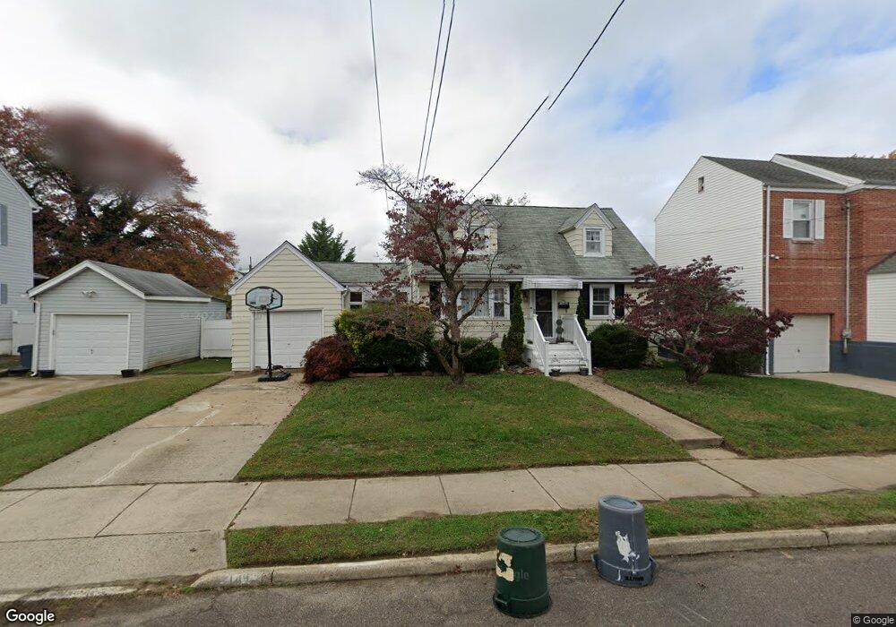
141 Lillian Ave Trenton, NJ 08610
Estimated Value: $312,000 - $348,000
--
Bed
--
Bath
1,008
Sq Ft
$328/Sq Ft
Est. Value
About This Home
This home is located at 141 Lillian Ave, Trenton, NJ 08610 and is currently estimated at $330,267, approximately $327 per square foot. 141 Lillian Ave is a home located in Mercer County with nearby schools including George E. Wilson Elementary School, Albert E. Grice Middle School, and Hamilton West-Watson High School.
Ownership History
Date
Name
Owned For
Owner Type
Purchase Details
Closed on
Mar 6, 2006
Sold by
Gorish Marianne
Bought by
Dos Anjos Elizabeth
Current Estimated Value
Home Financials for this Owner
Home Financials are based on the most recent Mortgage that was taken out on this home.
Original Mortgage
$196,800
Outstanding Balance
$111,945
Interest Rate
6.28%
Mortgage Type
Purchase Money Mortgage
Estimated Equity
$218,322
Create a Home Valuation Report for This Property
The Home Valuation Report is an in-depth analysis detailing your home's value as well as a comparison with similar homes in the area
Home Values in the Area
Average Home Value in this Area
Purchase History
| Date | Buyer | Sale Price | Title Company |
|---|---|---|---|
| Dos Anjos Elizabeth | $246,000 | -- |
Source: Public Records
Mortgage History
| Date | Status | Borrower | Loan Amount |
|---|---|---|---|
| Open | Dos Anjos Elizabeth | $196,800 |
Source: Public Records
Tax History Compared to Growth
Tax History
| Year | Tax Paid | Tax Assessment Tax Assessment Total Assessment is a certain percentage of the fair market value that is determined by local assessors to be the total taxable value of land and additions on the property. | Land | Improvement |
|---|---|---|---|---|
| 2025 | $5,550 | $157,500 | $56,000 | $101,500 |
| 2024 | $5,202 | $157,500 | $56,000 | $101,500 |
| 2023 | $5,202 | $157,500 | $56,000 | $101,500 |
| 2022 | $5,120 | $157,500 | $56,000 | $101,500 |
| 2021 | $6,352 | $157,500 | $56,000 | $101,500 |
| 2020 | $5,785 | $157,500 | $56,000 | $101,500 |
| 2019 | $5,615 | $157,500 | $56,000 | $101,500 |
| 2018 | $5,572 | $157,500 | $56,000 | $101,500 |
| 2017 | $5,279 | $157,500 | $56,000 | $101,500 |
| 2016 | $4,259 | $157,500 | $56,000 | $101,500 |
| 2015 | $5,255 | $100,500 | $40,400 | $60,100 |
| 2014 | $5,147 | $100,500 | $40,400 | $60,100 |
Source: Public Records
Map
Nearby Homes
- 164 Lillian Ave
- 118 Hunter Ave
- 109 E Park Ave
- 158 Churchill Ave
- 252 Churchill Ave
- 949 Schiller Ave
- 204 Thropp Ave
- 234 Thropp Ave
- 2033 Genesee St
- 28 Thropp Ave
- 156 Maddock Ave
- 429 Wilfred Ave
- 624 Hunt Ave
- 316 W Park Ave
- 533 Hunt Ave
- 408 Berg Ave
- 529 Hunt Ave
- 1961 S Broad St
- 323 Wilfred Ave
- 604 Schiller Ave
- 145 Lillian Ave
- 149 Lillian Ave
- 131 Lillian Ave
- 111 Lillian Ave
- 144 Samdin Blvd
- 148 Samdin Blvd
- 138 Samdin Blvd
- 155 Lillian Ave
- 154 Samdin Blvd
- 129 Lillian Ave
- 132 Samdin Blvd
- 142 Lillian Ave
- 161 Lillian Ave
- 146 Lillian Ave
- 125 Lillian Ave
- 152 Lillian Ave
- 166 Samdin Blvd
- 128 Samdin Blvd
- 130 Lillian Ave
- 158 Lillian Ave