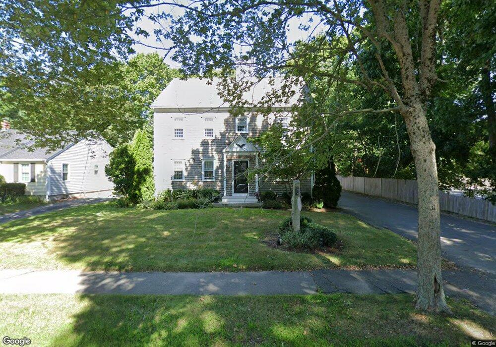
141 Locust St Unit C Falmouth, MA 02540
Falmouth Village NeighborhoodEstimated Value: $423,000 - $597,000
2
Beds
2
Baths
878
Sq Ft
$564/Sq Ft
Est. Value
About This Home
This home is located at 141 Locust St Unit C, Falmouth, MA 02540 and is currently estimated at $495,582, approximately $564 per square foot. 141 Locust St Unit C is a home located in Barnstable County with nearby schools including Mullen-Hall School, Lawrence School, and Morse Pond School.
Ownership History
Date
Name
Owned For
Owner Type
Purchase Details
Closed on
Jul 7, 2006
Sold by
Fox James E
Bought by
Sullivan Miriam G
Current Estimated Value
Home Financials for this Owner
Home Financials are based on the most recent Mortgage that was taken out on this home.
Original Mortgage
$147,000
Outstanding Balance
$87,029
Interest Rate
6.6%
Mortgage Type
Purchase Money Mortgage
Estimated Equity
$408,553
Create a Home Valuation Report for This Property
The Home Valuation Report is an in-depth analysis detailing your home's value as well as a comparison with similar homes in the area
Home Values in the Area
Average Home Value in this Area
Purchase History
| Date | Buyer | Sale Price | Title Company |
|---|---|---|---|
| Sullivan Miriam G | $147,000 | -- |
Source: Public Records
Mortgage History
| Date | Status | Borrower | Loan Amount |
|---|---|---|---|
| Open | Sullivan Miriam G | $147,000 |
Source: Public Records
Tax History Compared to Growth
Tax History
| Year | Tax Paid | Tax Assessment Tax Assessment Total Assessment is a certain percentage of the fair market value that is determined by local assessors to be the total taxable value of land and additions on the property. | Land | Improvement |
|---|---|---|---|---|
| 2025 | $1,813 | $308,900 | $0 | $308,900 |
| 2024 | $1,831 | $291,500 | $0 | $291,500 |
| 2023 | $1,897 | $274,100 | $0 | $274,100 |
| 2022 | $2,056 | $255,400 | $0 | $255,400 |
| 2021 | $2,077 | $244,300 | $0 | $244,300 |
| 2020 | $1,949 | $226,900 | $0 | $226,900 |
| 2019 | $1,869 | $218,300 | $0 | $218,300 |
| 2018 | $1,872 | $209,800 | $0 | $209,800 |
| 2017 | $1,849 | $216,800 | $0 | $216,800 |
| 2016 | $1,815 | $216,800 | $0 | $216,800 |
| 2015 | $1,776 | $216,800 | $0 | $216,800 |
| 2014 | $1,667 | $204,500 | $0 | $204,500 |
Source: Public Records
Map
Nearby Homes
- 71 Main St
- 98 Main St
- 98 Main St Unit 1
- 65 Walker St
- 30 Katherine Lee Bates Rd
- 33 Oakwood Ave
- 15 Hedge Ln
- 38 Landfall Unit 38
- 38 Landfall
- 480 Main St Unit 1
- 110 Dillingham Ave Unit 322
- 253 Scranton Ave
- 354 Gifford St Unit 5
- 354 Gifford St Unit 2
- 354 Gifford St Unit 6
- 45 Haynes Ave
- 87 Oyster Pond Rd
- 27 Upland Ave
- 10 Shanks Pond Rd
- 251 Woods Hole Rd
- 141 Locust St Unit A
- 141 Locust St Unit B
- 141 Locust St Unit 1AU
- 141 Locust St Unit 2
- 141 Locust St
- 145 Locust St
- 140 Locust St
- 157 Locust St
- 121 Locust St
- 156 Locust St
- 128 Locust St
- 16 Pin Oak Way
- 160 Locust St
- 114 Locust St
- 114 Locust St Unit 1-3
- 21 Pin Oak Way
- 26 Pin Oak Way
- 7 Dwight Place
- 14 Mill Rd
- 105 Locust St Unit 6