141 Mackenzie Rd Woodland, WA 98674
Estimated Value: $937,859 - $1,168,000
3
Beds
3
Baths
2,807
Sq Ft
$376/Sq Ft
Est. Value
About This Home
This home is located at 141 Mackenzie Rd, Woodland, WA 98674 and is currently estimated at $1,054,215, approximately $375 per square foot. 141 Mackenzie Rd is a home located in Cowlitz County with nearby schools including Woodland High School.
Ownership History
Date
Name
Owned For
Owner Type
Purchase Details
Closed on
Aug 26, 2020
Sold by
Valencich Roger L and Valencich 2004 Revocab Roger L
Bought by
Brenden Scott Damon and Brenden Dana Marie
Current Estimated Value
Home Financials for this Owner
Home Financials are based on the most recent Mortgage that was taken out on this home.
Original Mortgage
$583,200
Outstanding Balance
$518,502
Interest Rate
3%
Mortgage Type
New Conventional
Estimated Equity
$535,713
Purchase Details
Closed on
Sep 2, 2014
Sold by
Huddleston Ronald E and Huddleston Karen L
Bought by
Valencich Roger L and The Roger L Valencich 2004 Rev
Home Financials for this Owner
Home Financials are based on the most recent Mortgage that was taken out on this home.
Original Mortgage
$384,750
Interest Rate
3.37%
Mortgage Type
Adjustable Rate Mortgage/ARM
Purchase Details
Closed on
Jan 20, 2005
Sold by
Mattison Tom and Mattison Whitney
Bought by
Huddleston Ron and Huddleston Karen
Create a Home Valuation Report for This Property
The Home Valuation Report is an in-depth analysis detailing your home's value as well as a comparison with similar homes in the area
Home Values in the Area
Average Home Value in this Area
Purchase History
| Date | Buyer | Sale Price | Title Company |
|---|---|---|---|
| Brenden Scott Damon | $729,000 | Chicago Title Company | |
| Valencich Roger L | $510,605 | Cowlitz County Title Company | |
| Huddleston Ron | -- | Transnation Title Ins Co |
Source: Public Records
Mortgage History
| Date | Status | Borrower | Loan Amount |
|---|---|---|---|
| Open | Brenden Scott Damon | $583,200 | |
| Previous Owner | Valencich Roger L | $384,750 |
Source: Public Records
Tax History Compared to Growth
Tax History
| Year | Tax Paid | Tax Assessment Tax Assessment Total Assessment is a certain percentage of the fair market value that is determined by local assessors to be the total taxable value of land and additions on the property. | Land | Improvement |
|---|---|---|---|---|
| 2024 | $8,806 | $896,090 | $219,820 | $676,270 |
| 2023 | $8,493 | $841,220 | $219,820 | $621,400 |
| 2022 | $7,494 | $855,960 | $187,880 | $668,080 |
| 2021 | $7,642 | $710,500 | $178,930 | $531,570 |
| 2020 | $6,293 | $672,510 | $178,810 | $493,700 |
| 2019 | $4,947 | $544,506 | $178,805 | $365,701 |
| 2018 | $5,480 | $494,060 | $178,800 | $315,260 |
| 2017 | $4,627 | $471,510 | $170,290 | $301,220 |
| 2016 | $4,454 | $412,100 | $157,680 | $254,420 |
| 2015 | $3,659 | $389,680 | $154,580 | $235,100 |
| 2013 | -- | $286,090 | $92,520 | $193,570 |
Source: Public Records
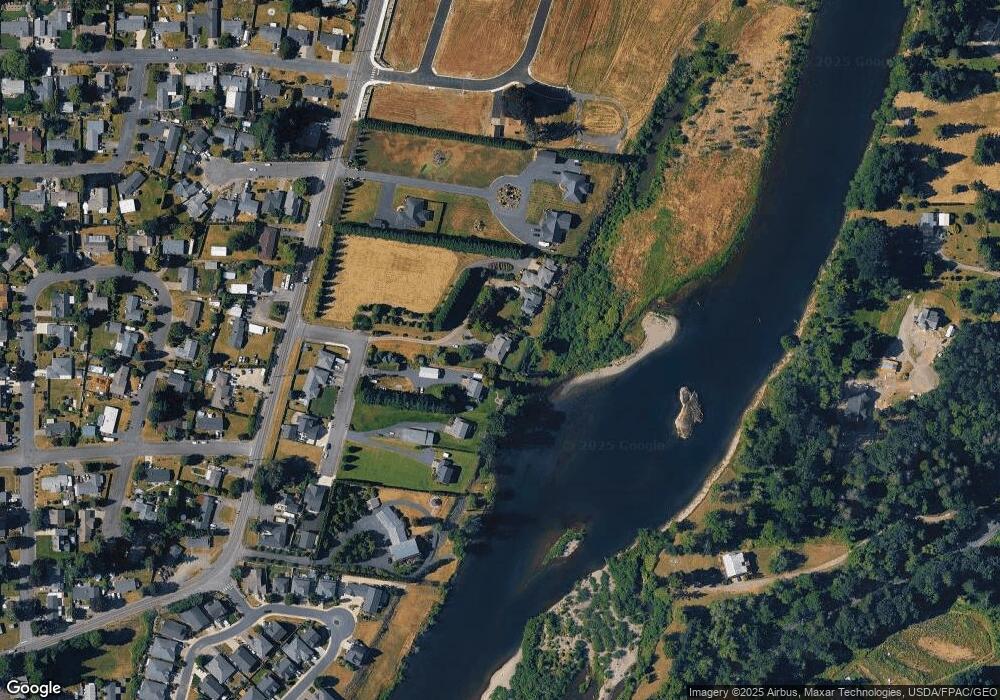
Map
Nearby Homes
- 2142 Lewis River Rd
- 3060 Spruce Ave
- 3040 Spruce Ave
- 3070 Spruce Ave
- 3079 Heron St
- Melody Plan at Riverwalk at Lewis River
- Harris Plan at Riverwalk at Lewis River
- Daniel Plan at Riverwalk at Lewis River
- 2185 Dahlia St
- 3119 Heron St
- 3109 Heron St
- 3033 Salmon St
- 3043 Salmon St
- 4311 NW 419th St
- 284 Gun Club Rd
- 2009 Lewis River Rd Unit 17
- 2242 Ash St Unit 20
- 2254 Ash St Unit Lot 18
- The 2676 Plan at Alder and Ash
- The 1890 Plan at Alder and Ash
- 141 Mackenzie Rd
- 105 Brothers Rd
- 115 Mackenzie Rd
- 105 Mackenzie Rd
- 2161 Lewis River Rd
- 111 Brothers Rd
- 2155 Lewis River Rd
- 106 Brothers Rd
- 108 Brothers Rd
- 2117 Lewis River Rd
- 2215 Lewis River Rd
- 110 Dehning Dr
- 2132 Lewis River Rd
- 115 Brothers Rd
- 2144 Lewis River Rd
- 120 Dehning Dr
- 2121 Lewis River Rd
- 2126 Lewis River Rd
- 234 Misty Dr
- 2208 Lewis River Rd