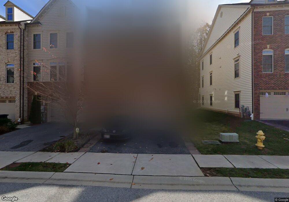
141 Merrimack Way Arnold, MD 21012
Estimated Value: $748,344 - $784,000
Studio
3
Baths
3,240
Sq Ft
$235/Sq Ft
Est. Value
About This Home
This home is located at 141 Merrimack Way, Arnold, MD 21012 and is currently estimated at $762,086, approximately $235 per square foot. 141 Merrimack Way is a home located in Anne Arundel County with nearby schools including Arnold Elementary School, Severn River Middle School, and Broadneck High School.
Ownership History
Date
Name
Owned For
Owner Type
Purchase Details
Closed on
Jul 31, 2015
Sold by
Nvr Inc
Bought by
Mccracken William G and Mccracken Ana M
Current Estimated Value
Home Financials for this Owner
Home Financials are based on the most recent Mortgage that was taken out on this home.
Original Mortgage
$97,000
Outstanding Balance
$76,626
Interest Rate
4.08%
Mortgage Type
Credit Line Revolving
Estimated Equity
$685,460
Purchase Details
Closed on
Apr 9, 2015
Sold by
Winchester Homes Inc
Bought by
Nvr Inc
Create a Home Valuation Report for This Property
The Home Valuation Report is an in-depth analysis detailing your home's value as well as a comparison with similar homes in the area
Home Values in the Area
Average Home Value in this Area
Purchase History
| Date | Buyer | Sale Price | Title Company |
|---|---|---|---|
| Mccracken William G | $507,899 | Stewart Title Guaranty Co | |
| Nvr Inc | $941,052 | None Available |
Source: Public Records
Mortgage History
| Date | Status | Borrower | Loan Amount |
|---|---|---|---|
| Open | Mccracken William G | $97,000 | |
| Open | Mccracken William G | $384,000 | |
| Closed | Mccracken William G | $97,000 |
Source: Public Records
Tax History
| Year | Tax Paid | Tax Assessment Tax Assessment Total Assessment is a certain percentage of the fair market value that is determined by local assessors to be the total taxable value of land and additions on the property. | Land | Improvement |
|---|---|---|---|---|
| 2025 | $6,748 | $625,700 | -- | -- |
| 2024 | $6,748 | $577,300 | $140,000 | $437,300 |
| 2023 | $6,164 | $565,667 | $0 | $0 |
| 2022 | $6,159 | $554,033 | $0 | $0 |
| 2020 | $5,917 | $533,767 | $0 | $0 |
| 2019 | $5,832 | $525,133 | $0 | $0 |
| 2018 | $5,237 | $516,500 | $115,000 | $401,500 |
| 2017 | $5,561 | $516,500 | $0 | $0 |
| 2016 | -- | $516,500 | $0 | $0 |
| 2015 | -- | $31,500 | $0 | $0 |
| 2014 | -- | $31,500 | $0 | $0 |
Source: Public Records
Map
Nearby Homes
- 208 Admirals Ct
- 1294 Circle Dr
- 136 Collington Ct
- 1394 Baltimore Annapolis Blvd
- 1350 Ritchie Hwy
- 1396 Baltimore Annapolis Blvd
- 1420 Gilbert Rd
- 1420 Mariner Dr
- 1419 Mariner Dr
- 1232 Taylor Ave
- 394 Kings College Dr
- 1078 Brightleaf Ct
- 371 Freshfield Ln
- 1277 Ritchie Hwy Unit 195
- 1199 Asquithpines Place
- 303 Ternwing Dr
- 276 Overleaf Dr
- 1254 Masters Dr
- 1465 Ridgeway
- 1467 Eagle Ct
- 143 Merrimack Way
- 145 Merrimack Way
- 139 Merrimack Way
- 137 Merrimack Way
- 149 Merrimack Way
- 135 Merrimack Way
- 142 Merrimack Way
- 146 Merrimack Way
- 144 Merrimack Way
- 151 Merrimack Way
- 133 Merrimack Way
- 140 Merrimack Way
- 150 Merrimack Way
- 148 Merrimack Way
- 136 Merrimack Way
- 131 Merrimack Way
- 134 Merrimack Way
- 152 Merrimack Way
- 132 Merrimack Way
- 1113 Canterwood Place
Your Personal Tour Guide
Ask me questions while you tour the home.