141 Michael Rd Sewanee, TN 37375
Estimated Value: $211,497 - $681,000
Studio
1
Bath
1,750
Sq Ft
$262/Sq Ft
Est. Value
About This Home
This home is located at 141 Michael Rd, Sewanee, TN 37375 and is currently estimated at $458,624, approximately $262 per square foot. 141 Michael Rd is a home located in Franklin County with nearby schools including South Middle School and Franklin County High School.
Ownership History
Date
Name
Owned For
Owner Type
Purchase Details
Closed on
Dec 17, 2015
Sold by
Short Harold
Bought by
Luiz Catherine Ann
Current Estimated Value
Purchase Details
Closed on
Apr 9, 2009
Sold by
Short Harold
Bought by
Luiz Catherine A
Purchase Details
Closed on
Feb 5, 2001
Sold by
Short Harold
Bought by
Harold Short
Purchase Details
Closed on
Dec 22, 1999
Sold by
Short Ruben C
Bought by
Short Harold
Purchase Details
Closed on
Oct 23, 1969
Bought by
Short Ruben C and Short Margaret J
Create a Home Valuation Report for This Property
The Home Valuation Report is an in-depth analysis detailing your home's value as well as a comparison with similar homes in the area
Home Values in the Area
Average Home Value in this Area
Purchase History
| Date | Buyer | Sale Price | Title Company |
|---|---|---|---|
| Luiz Catherine Ann | -- | -- | |
| Luiz Catherine A | -- | -- | |
| Harold Short | $9,000 | -- | |
| Short Harold | $21,000 | -- | |
| Short Ruben C | -- | -- |
Source: Public Records
Tax History
| Year | Tax Paid | Tax Assessment Tax Assessment Total Assessment is a certain percentage of the fair market value that is determined by local assessors to be the total taxable value of land and additions on the property. | Land | Improvement |
|---|---|---|---|---|
| 2025 | $680 | $34,075 | $11,500 | $22,575 |
| 2024 | $680 | $34,075 | $11,500 | $22,575 |
| 2023 | $680 | $34,075 | $11,500 | $22,575 |
| 2022 | $639 | $34,075 | $11,500 | $22,575 |
| 2021 | $654 | $34,075 | $11,500 | $22,575 |
| 2020 | $654 | $22,725 | $8,000 | $14,725 |
| 2019 | $654 | $22,725 | $8,000 | $14,725 |
| 2018 | $608 | $22,725 | $8,000 | $14,725 |
| 2017 | $608 | $22,725 | $8,000 | $14,725 |
| 2016 | $559 | $20,900 | $8,000 | $12,900 |
| 2015 | $559 | $20,900 | $8,000 | $12,900 |
| 2014 | $559 | $20,895 | $0 | $0 |
Source: Public Records
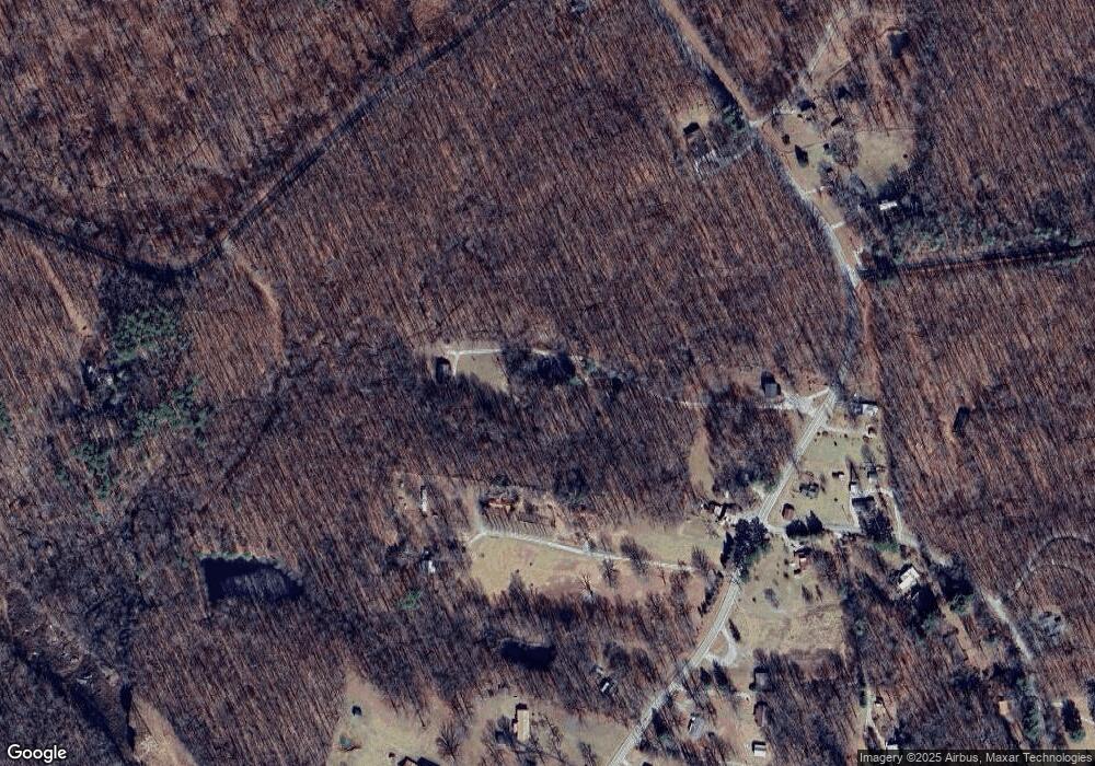
Map
Nearby Homes
- 2411 Sherwood Rd
- 767 Sherwood Rd
- 10367 Sewanee Hwy
- 264 Ball Park Rd
- 394 Myers Point Rd
- 45 Parsons Green Cir
- 111 Reeds Ln
- 8266 Sewanee Hwy
- 103 Willie Six Rd
- 337 Alabama Ave
- 57 Palmetto Ave
- 3711 Jump Off Rd
- 713 Cumberland St E
- 0 Roarks Cove Rd
- 0 Slagtown Rd
- 313 Tennessee Ave S
- 1659 Ravens Den Rd
- 2400 Westlake Ave
- 104 College St S
- 121 Popular St N
- 120 Johnson Rd
- 2230 Sherwood Rd
- 2270 Sherwood Rd
- 2260 Sherwood Rd
- 169 Johnson Rd
- 4 Nature Ridge Rd
- 2030 Sherwood Rd
- 2261 Sherwood Rd
- 0 Rattlesnake Spg Rd Unit 1595149
- 0 Rattlesnake Spring Rd
- 2211 Sherwood Rd
- 26 Natural Bridge Rd
- 2341 Sherwood Rd
- 59 Natural Bridge Rd
- 2442 Sherwood Rd
- 2401 Sherwood Rd
- 30 Kings Rd
- 2099 Sherwood Rd
- 1918 Sherwood Rd
- 2381 Sherwood Rd
Your Personal Tour Guide
Ask me questions while you tour the home.