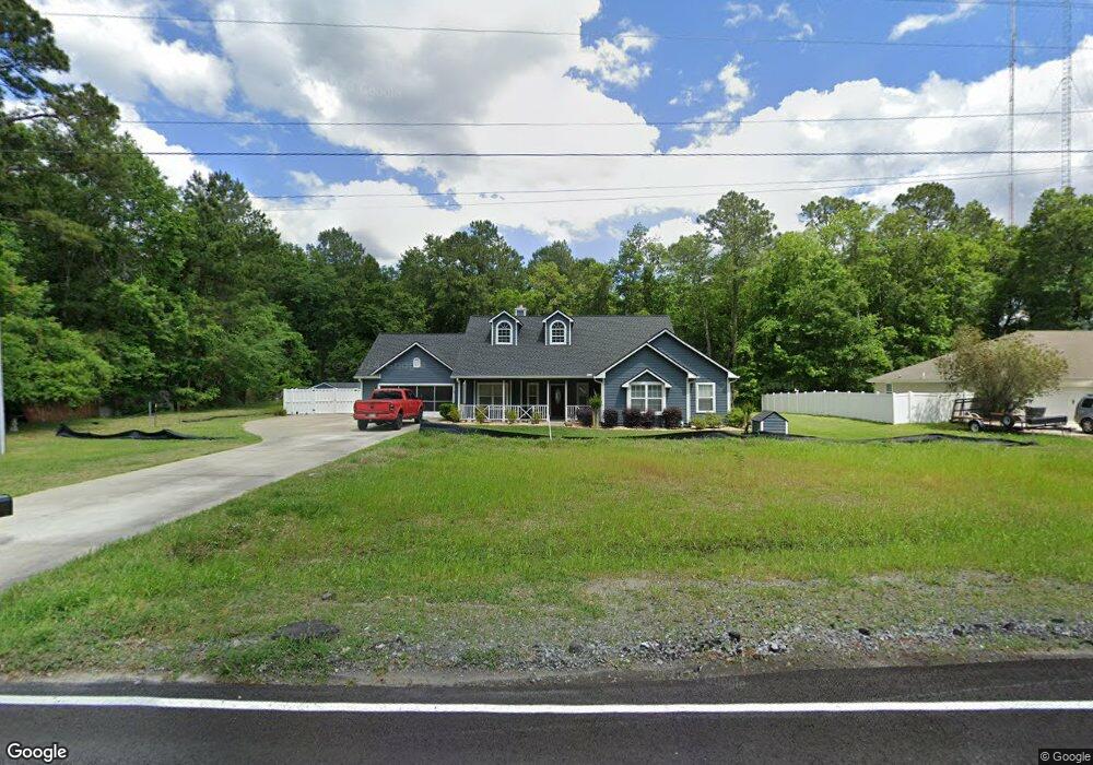
141 N Grove Blvd Kingsland, GA 31548
Estimated Value: $311,183 - $383,000
4
Beds
2
Baths
1,968
Sq Ft
$173/Sq Ft
Est. Value
About This Home
This home is located at 141 N Grove Blvd, Kingsland, GA 31548 and is currently estimated at $341,296, approximately $173 per square foot. 141 N Grove Blvd is a home located in Camden County with nearby schools including Mamie Lou Gross Elementary School, Camden Middle School, and Camden County High School.
Ownership History
Date
Name
Owned For
Owner Type
Purchase Details
Closed on
Feb 14, 2006
Sold by
Not Provided
Bought by
Shuck Bradley and Shuck Amanda K
Current Estimated Value
Home Financials for this Owner
Home Financials are based on the most recent Mortgage that was taken out on this home.
Original Mortgage
$213,657
Outstanding Balance
$119,137
Interest Rate
6.04%
Mortgage Type
New Conventional
Estimated Equity
$222,159
Create a Home Valuation Report for This Property
The Home Valuation Report is an in-depth analysis detailing your home's value as well as a comparison with similar homes in the area
Home Values in the Area
Average Home Value in this Area
Purchase History
| Date | Buyer | Sale Price | Title Company |
|---|---|---|---|
| Shuck Bradley | -- | -- | |
| Shuck Bradley | $210,500 | -- |
Source: Public Records
Mortgage History
| Date | Status | Borrower | Loan Amount |
|---|---|---|---|
| Open | Shuck Bradley | $213,657 | |
| Closed | Shuck Bradley | $213,657 |
Source: Public Records
Tax History Compared to Growth
Tax History
| Year | Tax Paid | Tax Assessment Tax Assessment Total Assessment is a certain percentage of the fair market value that is determined by local assessors to be the total taxable value of land and additions on the property. | Land | Improvement |
|---|---|---|---|---|
| 2024 | $69 | $128,395 | $6,000 | $122,395 |
| 2023 | $2,670 | $126,395 | $4,000 | $122,395 |
| 2022 | $2,540 | $107,460 | $4,000 | $103,460 |
| 2021 | $2,521 | $77,581 | $4,000 | $73,581 |
| 2020 | $582 | $72,746 | $4,000 | $68,746 |
| 2019 | $2,583 | $72,746 | $4,000 | $68,746 |
| 2018 | $592 | $72,746 | $4,000 | $68,746 |
| 2017 | $2,452 | $66,678 | $4,000 | $62,678 |
| 2016 | $1,885 | $67,606 | $4,000 | $63,606 |
| 2015 | $2,366 | $67,605 | $4,000 | $63,606 |
| 2014 | $2,358 | $67,606 | $4,000 | $63,606 |
Source: Public Records
Map
Nearby Homes
- 0 E Edmund Ave Unit 23619327
- 111 Pioneer Way
- 0 Hallow Point Trail Unit 10562971
- V/L 59 Christians Landing S D
- 206 E Hilton Ave
- V/L 436 Seine River Ct
- 1116 Boone Ave
- 124 Colony Pines Dr
- 322 the Villas Way
- 110 the Villas Way
- 102 Olson Way
- 104 Royal Way
- 105 Royal Way
- 219 Colin Nicholas Dr Unit LOT 143
- 579 S Arizona St
- 577 S Arizona St
- 575 S Arizona St
- 573 S Arizona St
- 571 S Arizona St
- V/L 2 Freebird Estates Clarks Bluff Rd
- 121 N Grove Blvd
- 0 Grove Blvd Unit 7126154
- 0 Grove Blvd Unit 1564571
- 261 N Grove Blvd
- 819 Pinewood Ave
- 821 Pinewood Ave
- 821 Pinewood Ave
- N N Grove Blvd
- 0 E Pinewood Ave Unit 7038245
- 0 E Pinewood Ave Unit 8743648
- 0 E Pinewood Ave Unit 8670221
- 0 E Pinewood Ave Unit 8466003
- E E Pinewood Ave
- 0 E Pinewood Ave
- 825 Pinewood Ave
- 279 N Grove Blvd
- 322 Pinewood Ave
- 825 E Pinewood Ave
- 801 E King Ave
- 826 Pinewood Ave