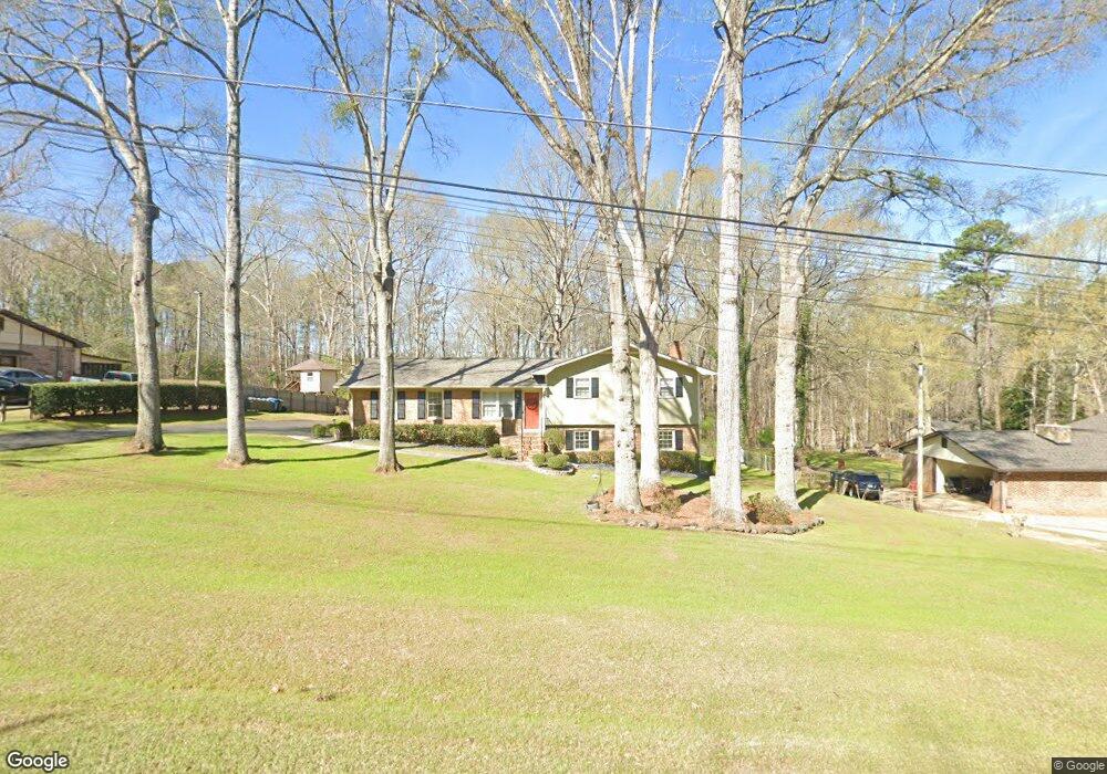
141 N Lake Dr Lagrange, GA 30240
Estimated Value: $208,264 - $247,000
3
Beds
2
Baths
1,274
Sq Ft
$177/Sq Ft
Est. Value
About This Home
This home is located at 141 N Lake Dr, Lagrange, GA 30240 and is currently estimated at $225,566, approximately $177 per square foot. 141 N Lake Dr is a home with nearby schools including Ethel W. Kight Elementary School, Hollis Hand Elementary School, and Franklin Forest Elementary School.
Ownership History
Date
Name
Owned For
Owner Type
Purchase Details
Closed on
May 1, 1988
Sold by
Carlisle Const Co
Bought by
Gregory Richard T and Gregory Mary G
Current Estimated Value
Purchase Details
Closed on
Jul 6, 1979
Sold by
Carlisle Const Co
Bought by
Carlisle Const Co
Purchase Details
Closed on
Jan 26, 1979
Sold by
Mcdowell & Assoc
Bought by
Carlisle Const Co
Purchase Details
Closed on
Dec 20, 1976
Bought by
Mcdowell & Assoc
Create a Home Valuation Report for This Property
The Home Valuation Report is an in-depth analysis detailing your home's value as well as a comparison with similar homes in the area
Purchase History
| Date | Buyer | Sale Price | Title Company |
|---|---|---|---|
| Gregory Richard T | -- | -- | |
| Carlisle Const Co | $46,500 | -- | |
| Carlisle Const Co | $6,500 | -- | |
| Mcdowell & Assoc | -- | -- |
Source: Public Records
Tax History
| Year | Tax Paid | Tax Assessment Tax Assessment Total Assessment is a certain percentage of the fair market value that is determined by local assessors to be the total taxable value of land and additions on the property. | Land | Improvement |
|---|---|---|---|---|
| 2025 | $1,335 | $81,368 | $18,000 | $63,368 |
| 2024 | $1,062 | $65,848 | $18,000 | $47,848 |
| 2023 | $1,057 | $65,676 | $18,000 | $47,676 |
| 2022 | $1,049 | $63,956 | $18,000 | $45,956 |
| 2021 | $747 | $51,276 | $8,000 | $43,276 |
| 2020 | $1,247 | $51,276 | $8,000 | $43,276 |
| 2019 | $1,322 | $43,836 | $4,000 | $39,836 |
| 2018 | $1,213 | $40,208 | $4,000 | $36,208 |
| 2017 | $1,213 | $40,208 | $4,000 | $36,208 |
| 2016 | $1,145 | $37,950 | $4,000 | $33,950 |
| 2015 | $1,146 | $37,950 | $4,000 | $33,950 |
| 2014 | $1,094 | $36,163 | $4,000 | $32,163 |
| 2013 | -- | $37,224 | $4,000 | $33,224 |
Source: Public Records
Map
Nearby Homes
- 4004 White Oak Ln
- 110 Thomas Dr
- 709 Vernon Ferry Rd
- 104 Dogwood Point
- 213 Linda Ln
- 129 Angela East Dr
- 4.5 ACRES Whatley Rd N
- 0 Deming St Unit 10550189
- 0 Salem Rd Tract 2 Unit 10675187
- 98 Hearn Rd
- 203 Shawnee Dr
- 103 Iroquois Dr
- 104 Spring Valley Dr
- 112 Brookwood Dr
- 112 Foxdale Dr
- 117 Brookwood Dr
- 210 Pinehaven Dr
- 40 River Point Dr
- 201 Willowcrest Way
- 402 Ginger Cir
Your Personal Tour Guide
Ask me questions while you tour the home.