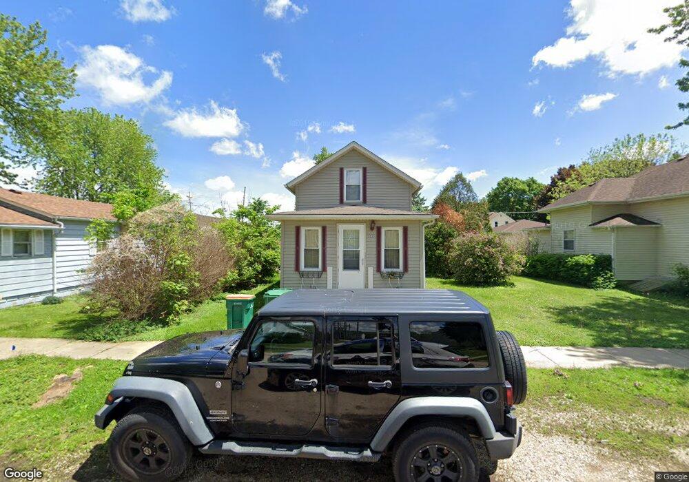
141 Oak St Hampshire, IL 60140
Estimated Value: $190,000 - $212,967
2
Beds
1
Bath
728
Sq Ft
$276/Sq Ft
Est. Value
About This Home
This home is located at 141 Oak St, Hampshire, IL 60140 and is currently estimated at $201,242, approximately $276 per square foot. 141 Oak St is a home located in Kane County with nearby schools including Hampshire Elementary School, Hampshire Middle School, and Hampshire High School.
Ownership History
Date
Name
Owned For
Owner Type
Purchase Details
Closed on
Jul 23, 2004
Sold by
Malone Maureen and Gass Mellissa
Bought by
Peluso Kimberly A M
Current Estimated Value
Home Financials for this Owner
Home Financials are based on the most recent Mortgage that was taken out on this home.
Original Mortgage
$131,442
Outstanding Balance
$66,524
Interest Rate
6.42%
Mortgage Type
FHA
Estimated Equity
$134,718
Purchase Details
Closed on
Dec 22, 2003
Sold by
Scott Kathy and Scott Kathleen A
Bought by
Gass Melissa and Malone Maureen
Create a Home Valuation Report for This Property
The Home Valuation Report is an in-depth analysis detailing your home's value as well as a comparison with similar homes in the area
Home Values in the Area
Average Home Value in this Area
Purchase History
| Date | Buyer | Sale Price | Title Company |
|---|---|---|---|
| Peluso Kimberly A M | $133,500 | Universal Title Services Inc | |
| Gass Melissa | $60,000 | First United Title Svcs Inc |
Source: Public Records
Mortgage History
| Date | Status | Borrower | Loan Amount |
|---|---|---|---|
| Open | Peluso Kimberly A M | $131,442 |
Source: Public Records
Tax History Compared to Growth
Tax History
| Year | Tax Paid | Tax Assessment Tax Assessment Total Assessment is a certain percentage of the fair market value that is determined by local assessors to be the total taxable value of land and additions on the property. | Land | Improvement |
|---|---|---|---|---|
| 2024 | $3,932 | $61,727 | $18,985 | $42,742 |
| 2023 | $3,716 | $55,524 | $17,077 | $38,447 |
| 2022 | $3,610 | $51,028 | $15,694 | $35,334 |
| 2021 | $2,802 | $40,588 | $14,804 | $25,784 |
| 2020 | $2,748 | $39,478 | $14,399 | $25,079 |
| 2019 | $2,699 | $38,187 | $13,928 | $24,259 |
| 2018 | $2,455 | $34,190 | $11,270 | $22,920 |
| 2017 | $2,369 | $32,837 | $10,824 | $22,013 |
| 2016 | $2,304 | $30,868 | $10,175 | $20,693 |
| 2015 | -- | $27,844 | $8,611 | $19,233 |
| 2014 | -- | $26,926 | $8,327 | $18,599 |
| 2013 | -- | $28,647 | $8,859 | $19,788 |
Source: Public Records
Map
Nearby Homes
- 125 Mill Ave
- 862 Briar Glen Ct
- 820 Briar Glen Ct
- 804 Briar Glen Ct
- 421 Klick St
- 190 Grove Ave
- Lot 0 N State St
- 263 E Jackson Ave
- 704 S State St
- 286 Wild Prairie Pointe
- 284 Wild Prairie Pointe
- 283 Wild Prairie Pointe
- 282 Wild Prairie Pointe
- 895 S State St
- 602 Woodside Terrace
- 531 W Meadowdale Cir
- 666 Savanna Dr
- LOT 37 W Oak Knoll Dr
- 318 Old Mill Ln
- 714 Wild Prairie Point