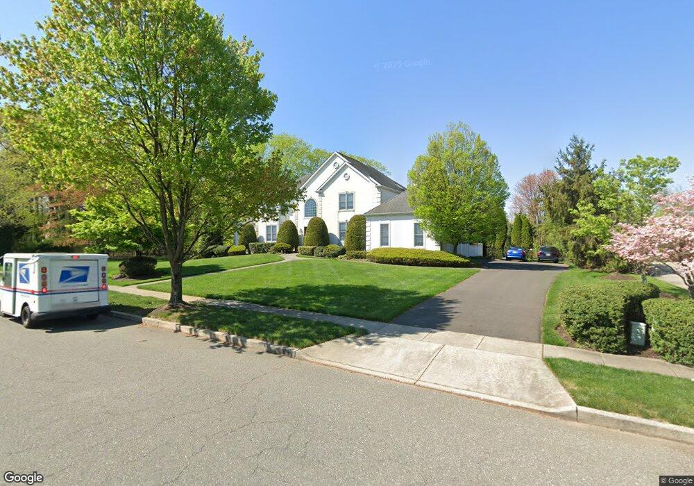
141 Pheasant Field Ln Moorestown, NJ 08057
Estimated Value: $1,461,774 - $1,796,000
--
Bed
--
Bath
4,259
Sq Ft
$383/Sq Ft
Est. Value
About This Home
This home is located at 141 Pheasant Field Ln, Moorestown, NJ 08057 and is currently estimated at $1,631,591, approximately $383 per square foot. 141 Pheasant Field Ln is a home located in Burlington County with nearby schools including George C. Baker Elementary School, Moorestown Upper Elementary School, and William Allen Middle School.
Ownership History
Date
Name
Owned For
Owner Type
Purchase Details
Closed on
Feb 2, 1999
Sold by
Duco Corp
Bought by
Wardzinski Steven F and Wardzinski Georgean M
Current Estimated Value
Create a Home Valuation Report for This Property
The Home Valuation Report is an in-depth analysis detailing your home's value as well as a comparison with similar homes in the area
Home Values in the Area
Average Home Value in this Area
Purchase History
| Date | Buyer | Sale Price | Title Company |
|---|---|---|---|
| Wardzinski Steven F | $646,366 | -- |
Source: Public Records
Tax History Compared to Growth
Tax History
| Year | Tax Paid | Tax Assessment Tax Assessment Total Assessment is a certain percentage of the fair market value that is determined by local assessors to be the total taxable value of land and additions on the property. | Land | Improvement |
|---|---|---|---|---|
| 2025 | $25,822 | $910,200 | $284,000 | $626,200 |
| 2024 | $25,040 | $910,200 | $284,000 | $626,200 |
| 2023 | $25,040 | $910,200 | $284,000 | $626,200 |
| 2022 | $24,785 | $910,200 | $284,000 | $626,200 |
| 2021 | $24,457 | $910,200 | $284,000 | $626,200 |
| 2020 | $24,302 | $910,200 | $284,000 | $626,200 |
| 2019 | $23,875 | $910,200 | $284,000 | $626,200 |
| 2018 | $23,228 | $910,200 | $284,000 | $626,200 |
| 2017 | $23,429 | $910,200 | $284,000 | $626,200 |
| 2016 | $23,347 | $910,200 | $284,000 | $626,200 |
| 2015 | $23,064 | $910,200 | $284,000 | $626,200 |
| 2014 | $21,899 | $910,200 | $284,000 | $626,200 |
Source: Public Records
Map
Nearby Homes
- 863 Golf View Rd
- 343 Tom Brown Rd
- 347 Tom Brown Rd
- 744 Signal Light Rd
- 2801 Riverton Rd
- 142 Fox Chase Dr
- 25 Oriole Way
- 7 Whitetail Ct
- 415 Bridgeboro Rd
- 628 Windsock Way
- 205 E Central Ave
- 164 Fox Chase Dr
- 543 Bethel Ave
- 493 N Church St
- 66 E 3rd St
- 80 E 3rd St
- 82 E 3rd St
- 50 E 3rd St
- 133 Plum St Unit 6
- 308 Farmdale Rd
- 145 Pheasant Field Ln
- 137 Pheasant Field Ln
- 109 Pheasant Field Ln
- 150 Pheasant Field Ln
- 170 Pheasant Field Ln
- 771 Allison Ct
- 133 Pheasant Field Ln
- 149 Pheasant Field Ln
- 185 Pheasant Field Ln
- 105 Pheasant Field Ln
- 140 Pheasant Field Ln
- 770 Allison Ct
- 154 Pheasant Field Ln
- 129 Pheasant Field Ln
- 166 Pheasant Field Ln
- 153 Pheasant Field Ln
- 101 Pheasant Field Ln
- 136 Pheasant Field Ln
- 104 Pheasant Field Ln
- 181 Pheasant Field Ln