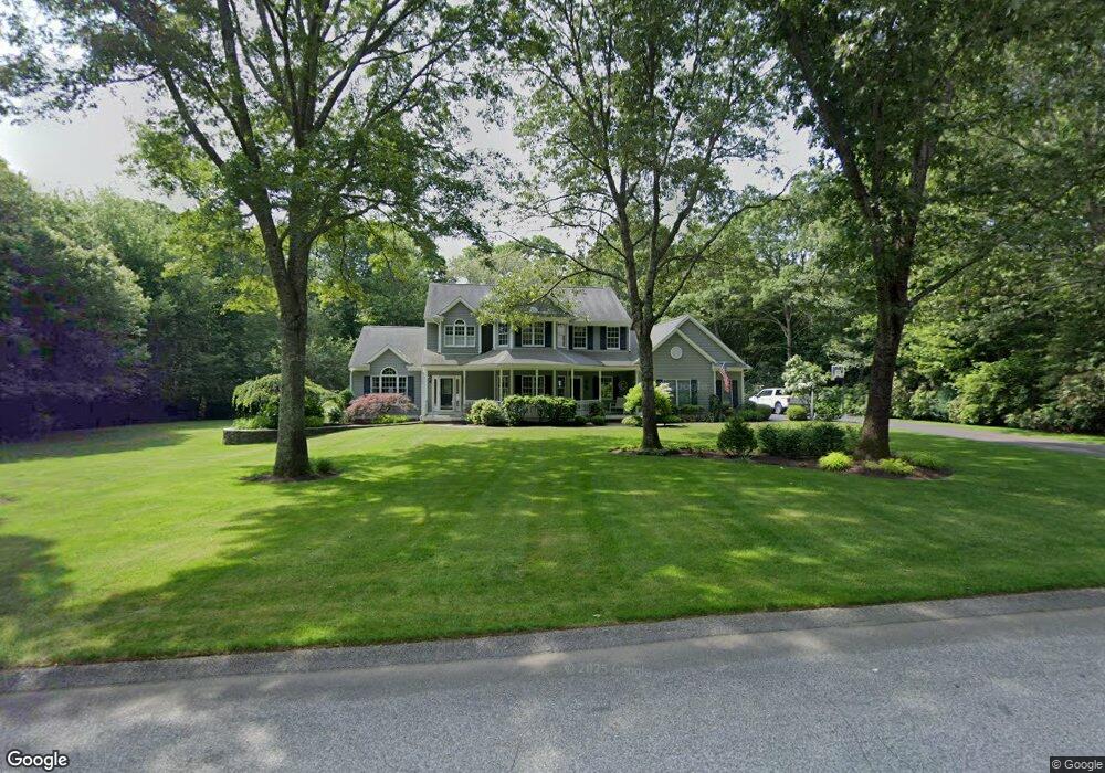
141 Pheasant Run Saunderstown, RI 02874
Saunderstown NeighborhoodEstimated Value: $1,359,063 - $1,486,000
4
Beds
3
Baths
3,246
Sq Ft
$436/Sq Ft
Est. Value
About This Home
This home is located at 141 Pheasant Run, Saunderstown, RI 02874 and is currently estimated at $1,416,516, approximately $436 per square foot. 141 Pheasant Run is a home located in Washington County with nearby schools including Hamilton Elementary School, Wickford Middle School, and North Kingstown Sr. High School.
Ownership History
Date
Name
Owned For
Owner Type
Purchase Details
Closed on
Jul 1, 2003
Sold by
Brown Marc A and Burns-Brown Barbara E
Bought by
Murphy Andrew J and Murphy Julia T
Current Estimated Value
Home Financials for this Owner
Home Financials are based on the most recent Mortgage that was taken out on this home.
Original Mortgage
$200,000
Outstanding Balance
$86,758
Interest Rate
5.53%
Estimated Equity
$1,329,758
Purchase Details
Closed on
Sep 16, 1999
Sold by
Rocco Sammartino Llc
Bought by
Brown Marc A and Burns-Brown Barbara E
Home Financials for this Owner
Home Financials are based on the most recent Mortgage that was taken out on this home.
Original Mortgage
$210,000
Interest Rate
7.83%
Create a Home Valuation Report for This Property
The Home Valuation Report is an in-depth analysis detailing your home's value as well as a comparison with similar homes in the area
Home Values in the Area
Average Home Value in this Area
Purchase History
| Date | Buyer | Sale Price | Title Company |
|---|---|---|---|
| Murphy Andrew J | $662,000 | -- | |
| Brown Marc A | $439,500 | -- |
Source: Public Records
Mortgage History
| Date | Status | Borrower | Loan Amount |
|---|---|---|---|
| Open | Brown Marc A | $200,000 | |
| Closed | Brown Marc A | $60,000 | |
| Previous Owner | Brown Marc A | $210,000 |
Source: Public Records
Tax History Compared to Growth
Tax History
| Year | Tax Paid | Tax Assessment Tax Assessment Total Assessment is a certain percentage of the fair market value that is determined by local assessors to be the total taxable value of land and additions on the property. | Land | Improvement |
|---|---|---|---|---|
| 2025 | $13,505 | $1,223,300 | $428,700 | $794,600 |
| 2024 | $11,954 | $833,600 | $274,500 | $559,100 |
| 2023 | $11,954 | $833,600 | $274,500 | $559,100 |
| 2022 | $11,720 | $833,600 | $274,500 | $559,100 |
| 2021 | $12,640 | $722,300 | $204,000 | $518,300 |
| 2020 | $12,344 | $722,300 | $204,000 | $518,300 |
| 2019 | $12,344 | $722,300 | $204,000 | $518,300 |
| 2018 | $11,503 | $606,400 | $204,000 | $402,400 |
| 2017 | $11,273 | $606,400 | $204,000 | $402,400 |
| 2016 | $10,952 | $606,400 | $204,000 | $402,400 |
| 2015 | $10,777 | $558,400 | $204,000 | $354,400 |
| 2014 | $10,559 | $558,400 | $204,000 | $354,400 |
Source: Public Records
Map
Nearby Homes
- 210 Explorer Dr
- 202 Explorer Dr
- 158 Explorer Dr
- 168 Explorer Dr
- 247 Glen Hill Dr
- 65 Village Hill Ln
- 0 W Allenton Rd
- 150 Delta Dr
- 2180 Tower Hill Rd
- 449 Sylvan Ct
- 470 Sylvan Ct
- 55 Whisper Ln
- 48 Fieldstone Ln
- 2424 Tower Hill Rd
- 66 Essex Manor Ln
- 17 Jamaica Way
- 604 Stony Fort Rd
- 46 Hillside Ct
- 67 Daniel Dr
- 127 Oceanwoods Dr
- 111 Pheasant Run
- 165 Pheasant Run
- 4 Pheasant Run
- 5 Pheasant Run
- 6 Pheasant Run
- 30 Pheasant Run
- 1 Pheasant Run
- 0 Pheasant Run
- 0 Pheasant Run
- 170 Pheasant Run
- 189 Pheasant Run
- 82 Pheasant Run
- 105 Haggarty Hill Rd
- 91 Haggarty Hill Rd
- 77 Haggarty Hill Rd
- 85 Pheasant Run
- 166 Mourning Dove Dr
- 67 Haggarty Hill Rd
- 140 Mourning Dove Dr
- 190 Pheasant Run