Estimated Value: $38,297 - $104,000
--
Bed
--
Bath
832
Sq Ft
$76/Sq Ft
Est. Value
About This Home
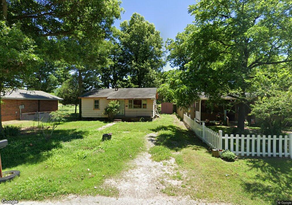
This home is located at 141 Rapoport St, Hayti, MO 63851 and is currently estimated at $63,574, approximately $76 per square foot. 141 Rapoport St is a home with nearby schools including Mathis Elementary School, Wallace Elementary School, and Hayti High School.
Ownership History
Date
Name
Owned For
Owner Type
Purchase Details
Closed on
Mar 2, 2023
Sold by
Newman Billy W and Newman Karen
Bought by
Robinson Catrina L
Current Estimated Value
Home Financials for this Owner
Home Financials are based on the most recent Mortgage that was taken out on this home.
Original Mortgage
$10,000
Outstanding Balance
$6,751
Interest Rate
6.15%
Mortgage Type
New Conventional
Estimated Equity
$56,823
Purchase Details
Closed on
Jun 19, 2008
Sold by
Chamberlain Woodrow and Chamberlain Ralph
Bought by
Williams Annora
Home Financials for this Owner
Home Financials are based on the most recent Mortgage that was taken out on this home.
Original Mortgage
$26,000
Interest Rate
6.4%
Mortgage Type
New Conventional
Create a Home Valuation Report for This Property
The Home Valuation Report is an in-depth analysis detailing your home's value as well as a comparison with similar homes in the area
Home Values in the Area
Average Home Value in this Area
Purchase History
| Date | Buyer | Sale Price | Title Company |
|---|---|---|---|
| Robinson Catrina L | -- | None Listed On Document | |
| Robinson Catrina L | -- | None Listed On Document | |
| Williams Annora | -- | -- |
Source: Public Records
Mortgage History
| Date | Status | Borrower | Loan Amount |
|---|---|---|---|
| Open | Robinson Catrina L | $10,000 | |
| Closed | Robinson Catrina L | $10,000 | |
| Previous Owner | Williams Annora | $26,000 |
Source: Public Records
Tax History Compared to Growth
Tax History
| Year | Tax Paid | Tax Assessment Tax Assessment Total Assessment is a certain percentage of the fair market value that is determined by local assessors to be the total taxable value of land and additions on the property. | Land | Improvement |
|---|---|---|---|---|
| 2024 | $160 | $2,660 | $0 | $0 |
| 2023 | $157 | $2,660 | $0 | $0 |
| 2022 | $143 | $2,420 | $0 | $0 |
| 2021 | $142 | $2,420 | $0 | $0 |
| 2020 | $142 | $2,420 | $0 | $0 |
| 2019 | $140 | $2,420 | $0 | $0 |
| 2018 | $135 | $2,420 | $0 | $0 |
| 2017 | $135 | $2,420 | $0 | $0 |
| 2016 | -- | $2,420 | $0 | $0 |
| 2015 | -- | $2,420 | $0 | $0 |
| 2013 | -- | $2,420 | $0 | $0 |
Source: Public Records
Map
Nearby Homes
- . W Washington St
- 301 E Jackson St
- 604 N 3rd St
- 1014 S Klinkhardt St
- 0 Highway 412
- 600 E Reed St
- 0 County Road 406
- 0 County Road 263 Unit MIS25048822
- 0 County Road 264 265
- 0 County Road 421
- 1206 Zaida Ave
- 1209 Zaida Ave
- 1212 Collins Ave
- 0 State Highway U
- 802 Beckwith Ave
- 707 Beckwith Ave
- 1200 Grand Ave
- 406 W 4th St
- 607 Cotton Ave
- 313 W 11th St
- 165 Rapoport St
- 143 S Martin Luther King Dr
- 175 S Martin Luther King Dr
- 140 Deeds St
- 293 Rapoport St
- 169 S Martin Luther King Dr
- 640 Worley St
- 1410 W Lincoln St
- 1411 W Washington St
- 180 S Martin Luther King Dr
- 267 Rapoport St
- 4204 State Highway B
- 1400 W Washington St
- 219 S Martin Luther King Dr
- 1405 W Lincoln St
- 1401 W Lincoln St
- 417 Rapoport St
- 1209 W Lincoln St
- 323 Deeds St
- 1204 W Lincoln St