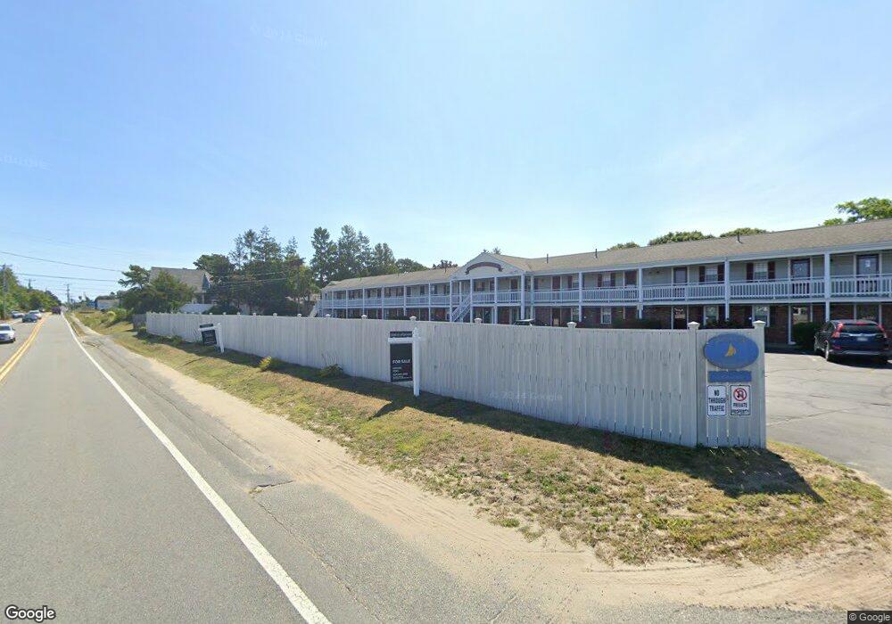
141 Route 28 Unit 21 West Dennis, MA 02670
West Dennis NeighborhoodEstimated Value: $178,360 - $210,000
1
Bed
1
Bath
267
Sq Ft
$700/Sq Ft
Est. Value
About This Home
This home is located at 141 Route 28 Unit 21, West Dennis, MA 02670 and is currently estimated at $186,840, approximately $699 per square foot. 141 Route 28 Unit 21 is a home located in Barnstable County with nearby schools including Dennis-Yarmouth Regional High School and St. Pius X. School.
Ownership History
Date
Name
Owned For
Owner Type
Purchase Details
Closed on
Sep 13, 2024
Sold by
Kehoe Rosamaria
Bought by
Burke Karen
Current Estimated Value
Home Financials for this Owner
Home Financials are based on the most recent Mortgage that was taken out on this home.
Original Mortgage
$112,450
Outstanding Balance
$111,044
Interest Rate
6.75%
Mortgage Type
Adjustable Rate Mortgage/ARM
Estimated Equity
$75,796
Purchase Details
Closed on
Mar 31, 2021
Sold by
Ellis William M and Nelson Patricia J
Bought by
Kehoe Rosamaria
Purchase Details
Closed on
Sep 11, 2020
Sold by
Overson Donald A and Overson Patricia A
Bought by
Ellis William M and Nelson Patricia J
Purchase Details
Closed on
Jul 17, 2006
Sold by
Leger Patricia A and Bollard Suzanne
Bought by
Osborn Thomas P
Purchase Details
Closed on
May 10, 2004
Sold by
Olive Dev Llc
Bought by
Lydon Paul J
Create a Home Valuation Report for This Property
The Home Valuation Report is an in-depth analysis detailing your home's value as well as a comparison with similar homes in the area
Home Values in the Area
Average Home Value in this Area
Purchase History
| Date | Buyer | Sale Price | Title Company |
|---|---|---|---|
| Burke Karen | $173,000 | None Available | |
| Burke Karen | $173,000 | None Available | |
| Kehoe Rosamaria | $96,000 | None Available | |
| Kehoe Rosamaria | $96,000 | None Available | |
| Ellis William M | $81,500 | None Available | |
| Ellis William M | $81,500 | None Available | |
| Osborn Thomas P | $79,900 | -- | |
| Osborn Thomas P | $79,900 | -- | |
| Lydon Paul J | $86,000 | -- |
Source: Public Records
Mortgage History
| Date | Status | Borrower | Loan Amount |
|---|---|---|---|
| Open | Burke Karen | $112,450 | |
| Closed | Burke Karen | $112,450 |
Source: Public Records
Tax History Compared to Growth
Tax History
| Year | Tax Paid | Tax Assessment Tax Assessment Total Assessment is a certain percentage of the fair market value that is determined by local assessors to be the total taxable value of land and additions on the property. | Land | Improvement |
|---|---|---|---|---|
| 2025 | $680 | $157,100 | $0 | $157,100 |
| 2024 | $536 | $122,000 | $0 | $122,000 |
| 2023 | $467 | $100,000 | $0 | $100,000 |
| 2022 | $451 | $80,600 | $0 | $80,600 |
| 2021 | $428 | $71,000 | $0 | $71,000 |
| 2020 | $390 | $64,000 | $0 | $64,000 |
| 2019 | $347 | $56,300 | $0 | $56,300 |
| 2018 | $383 | $60,400 | $0 | $60,400 |
| 2017 | $317 | $51,500 | $0 | $51,500 |
| 2016 | $290 | $44,400 | $0 | $44,400 |
| 2015 | $284 | $44,400 | $0 | $44,400 |
| 2014 | $312 | $49,100 | $0 | $49,100 |
Source: Public Records
Map
Nearby Homes
- 209 Main St Unit 3
- 209 Main St Unit 6
- 209 Main St Unit 1
- 209 Main St Unit 2
- 209 Main St Unit 4
- 209 Main St Unit 5
- 14 Schoolhouse Ln
- 23 Doric Ave
- 45 Seth Ln
- 401 Main St Unit 201
- 401 Main St Unit 101
- 40 Kelley Rd
- 2 Rita Mary Way
- 178 School St
- 308 Old Main St
- 29 Bass River Rd
- 428 Main St Unit 1-11
- 467 Main St
- 18 Turner Ln
- 116 N Main St
- 141 Main St Unit 4
- 141 Main St Unit 4
- 141 Route 28 Unit 19
- 141 Route 28 Unit 26
- 141 Main St Unit 21
- 141 Main St Unit TH1
- 141 Route 28 Unit TH3
- 141 Route 28 Unit 23
- 141 Route 28 Unit TH-2
- 141 Main St Unit 19
- 141 Main St Unit 9
- 141 Main St Unit 5
- 141 Main St Unit 1
- 141 Main St Unit 8
- 141 Main St Unit 6
- 141 Main St Unit 25
- 141 Main St Unit 2
- 141 Main St Unit 16
- 141 Main St Unit 22
- 141 Main St Unit TH1