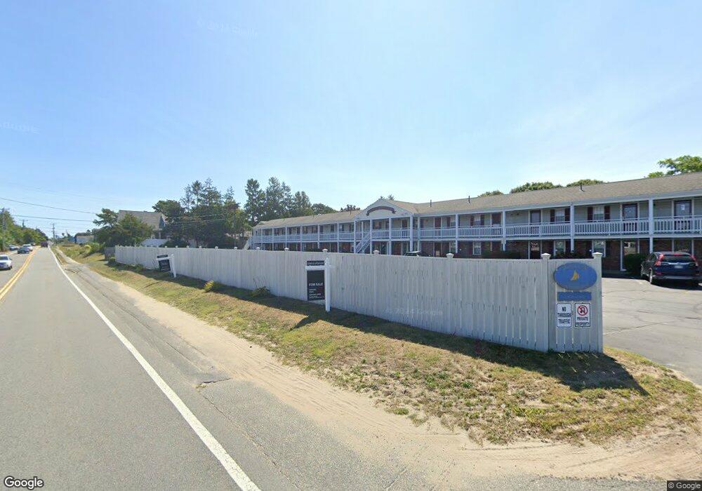
141 Route 28 Unit 23 West Dennis, MA 02670
West Dennis NeighborhoodEstimated Value: $285,000 - $325,000
1
Bed
2
Baths
519
Sq Ft
$594/Sq Ft
Est. Value
About This Home
This home is located at 141 Route 28 Unit 23, West Dennis, MA 02670 and is currently estimated at $308,285, approximately $593 per square foot. 141 Route 28 Unit 23 is a home located in Barnstable County with nearby schools including Dennis-Yarmouth Regional High School and St. Pius X. School.
Ownership History
Date
Name
Owned For
Owner Type
Purchase Details
Closed on
May 10, 2024
Sold by
Cutler Anita
Bought by
Omalley Tracy and Omalley Adrian
Current Estimated Value
Purchase Details
Closed on
Aug 12, 2013
Sold by
Overson Donald A and Overson Patricia A
Bought by
Cutler Anita
Purchase Details
Closed on
Feb 18, 2004
Sold by
Olive Dev Llc
Bought by
Overson Donald A and Overson Patricia A
Home Financials for this Owner
Home Financials are based on the most recent Mortgage that was taken out on this home.
Original Mortgage
$74,100
Interest Rate
5.83%
Mortgage Type
Commercial
Create a Home Valuation Report for This Property
The Home Valuation Report is an in-depth analysis detailing your home's value as well as a comparison with similar homes in the area
Home Values in the Area
Average Home Value in this Area
Purchase History
| Date | Buyer | Sale Price | Title Company |
|---|---|---|---|
| Omalley Tracy | $262,500 | None Available | |
| Omalley Tracy | $262,500 | None Available | |
| Cutler Anita | $83,000 | -- | |
| Cutler Anita | $83,000 | -- | |
| Overson Donald A | $98,800 | -- | |
| Overson Donald A | $98,800 | -- |
Source: Public Records
Mortgage History
| Date | Status | Borrower | Loan Amount |
|---|---|---|---|
| Previous Owner | Overson Donald A | $74,100 |
Source: Public Records
Tax History Compared to Growth
Tax History
| Year | Tax Paid | Tax Assessment Tax Assessment Total Assessment is a certain percentage of the fair market value that is determined by local assessors to be the total taxable value of land and additions on the property. | Land | Improvement |
|---|---|---|---|---|
| 2025 | $1,136 | $262,400 | $0 | $262,400 |
| 2024 | $902 | $205,400 | $0 | $205,400 |
| 2023 | $786 | $168,400 | $0 | $168,400 |
| 2022 | $760 | $135,800 | $0 | $135,800 |
| 2021 | $722 | $119,700 | $0 | $119,700 |
| 2020 | $659 | $108,100 | $0 | $108,100 |
| 2019 | $588 | $95,300 | $0 | $95,300 |
| 2018 | $647 | $102,000 | $0 | $102,000 |
| 2017 | $537 | $87,300 | $0 | $87,300 |
| 2016 | $493 | $75,500 | $0 | $75,500 |
| 2015 | $483 | $75,500 | $0 | $75,500 |
| 2014 | $519 | $81,800 | $0 | $81,800 |
Source: Public Records
Map
Nearby Homes
- 209 Main St Unit 3
- 209 Main St Unit 6
- 209 Main St Unit 1
- 209 Main St Unit 2
- 209 Main St Unit 4
- 209 Main St Unit 5
- 14 Schoolhouse Ln
- 23 Doric Ave
- 45 Seth Ln
- 401 Main St Unit 201
- 401 Main St Unit 101
- 40 Kelley Rd
- 2 Rita Mary Way
- 178 School St
- 308 Old Main St
- 29 Bass River Rd
- 428 Main St Unit 1-11
- 467 Main St
- 18 Turner Ln
- 116 N Main St
- 141 Main St Unit 4
- 141 Main St Unit 4
- 141 Route 28 Unit 19
- 141 Route 28 Unit 26
- 141 Main St Unit 21
- 141 Main St Unit TH1
- 141 Route 28 Unit TH3
- 141 Route 28 Unit 21
- 141 Route 28 Unit TH-2
- 141 Main St Unit 19
- 141 Main St Unit 9
- 141 Main St Unit 5
- 141 Main St Unit 1
- 141 Main St Unit 8
- 141 Main St Unit 6
- 141 Main St Unit 25
- 141 Main St Unit 2
- 141 Main St Unit 16
- 141 Main St Unit 22
- 141 Main St Unit TH1