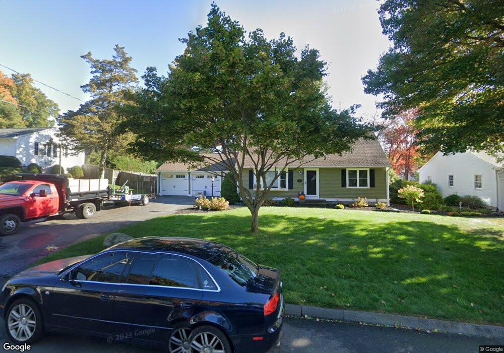
141 Sims Rd Bristol, CT 06010
North Bristol NeighborhoodEstimated Value: $367,262 - $438,000
3
Beds
2
Baths
1,566
Sq Ft
$260/Sq Ft
Est. Value
About This Home
This home is located at 141 Sims Rd, Bristol, CT 06010 and is currently estimated at $406,816, approximately $259 per square foot. 141 Sims Rd is a home located in Hartford County with nearby schools including Ivy Drive School, Northeast Middle School, and Bristol Eastern High School.
Ownership History
Date
Name
Owned For
Owner Type
Purchase Details
Closed on
Jun 27, 2001
Sold by
Cross Jeffrey R and Cross Deborah L
Bought by
Johndrow Michael and Johndrow Lorri
Current Estimated Value
Purchase Details
Closed on
Sep 3, 1996
Sold by
Stingel Maureen
Bought by
Lahey Margaret
Create a Home Valuation Report for This Property
The Home Valuation Report is an in-depth analysis detailing your home's value as well as a comparison with similar homes in the area
Home Values in the Area
Average Home Value in this Area
Purchase History
| Date | Buyer | Sale Price | Title Company |
|---|---|---|---|
| Johndrow Michael | $190,000 | -- | |
| Lahey Margaret | $149,000 | -- |
Source: Public Records
Mortgage History
| Date | Status | Borrower | Loan Amount |
|---|---|---|---|
| Closed | Lahey Margaret | $25,000 | |
| Open | Lahey Margaret | $145,000 |
Source: Public Records
Tax History
| Year | Tax Paid | Tax Assessment Tax Assessment Total Assessment is a certain percentage of the fair market value that is determined by local assessors to be the total taxable value of land and additions on the property. | Land | Improvement |
|---|---|---|---|---|
| 2025 | $6,847 | $202,860 | $42,700 | $160,160 |
| 2024 | $6,301 | $197,820 | $42,700 | $155,120 |
| 2023 | $6,004 | $197,820 | $42,700 | $155,120 |
| 2022 | $5,431 | $141,610 | $34,720 | $106,890 |
| 2021 | $5,431 | $141,610 | $34,720 | $106,890 |
| 2020 | $5,431 | $141,610 | $34,720 | $106,890 |
| 2019 | $5,388 | $141,610 | $34,720 | $106,890 |
| 2018 | $5,223 | $141,610 | $34,720 | $106,890 |
| 2017 | $4,878 | $135,380 | $43,120 | $92,260 |
| 2016 | $4,878 | $135,380 | $43,120 | $92,260 |
| 2015 | $4,686 | $135,380 | $43,120 | $92,260 |
| 2014 | $4,686 | $135,380 | $43,120 | $92,260 |
Source: Public Records
Map
Nearby Homes
- 1325 Farmington Ave Unit 52
- 35 Jasmine St
- 97 Jacqueline Dr
- 3 Sandra St
- 79 Beths Ave Unit 100
- 55 Beths Ave Unit 77
- 66 Beths Ave Unit 15
- 36 Maxine Rd
- 206 Burton St
- 81 Lancaster Rd
- 32 Farmington Chase Crescent Unit 32
- 20 Westchester Dr
- 128 Farmington Chase Crescent
- 941 Farmington Ave
- 104 Driftwood Rd
- 179 Mark St
- 10 Pine Ct
- 102 Renee St
- 0 Overlook Dr Unit Lot 3 24092446
- 0 Overlook Dr Unit Lot 4 24092448
Your Personal Tour Guide
Ask me questions while you tour the home.