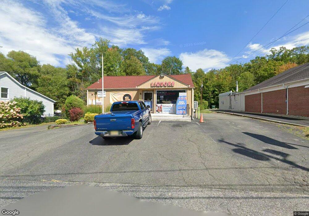
141 State Route 183 Stanhope, NJ 07874
Studio
--
Bath
1,395
Sq Ft
106,722
Sq Ft Lot
About This Home
This home is located at 141 State Route 183, Stanhope, NJ 07874. 141 State Route 183 is a home located in Sussex County with nearby schools including Valley Road School and Lenape Val Regional High School.
Ownership History
Date
Name
Owned For
Owner Type
Purchase Details
Closed on
Jul 31, 2018
Sold by
M And B Parekh Llc
Bought by
Rmn Managment Llc
Purchase Details
Closed on
Oct 2, 2017
Sold by
Rmdm Holdings Llc
Bought by
M And B Parekh Llc
Purchase Details
Closed on
Jun 9, 2005
Sold by
Corcoran Theodore J
Bought by
Rmdm Holdings Llc
Home Financials for this Owner
Home Financials are based on the most recent Mortgage that was taken out on this home.
Original Mortgage
$440,000
Interest Rate
5.59%
Mortgage Type
Commercial
Purchase Details
Closed on
Apr 19, 2000
Sold by
Corcoran Theodore J
Bought by
Peterson Jo Ann C
Home Financials for this Owner
Home Financials are based on the most recent Mortgage that was taken out on this home.
Original Mortgage
$350,000
Interest Rate
8%
Mortgage Type
Seller Take Back
Purchase Details
Closed on
Dec 10, 1996
Sold by
Turner Carolyn S
Bought by
Corcoran Theodore J
Create a Home Valuation Report for This Property
The Home Valuation Report is an in-depth analysis detailing your home's value as well as a comparison with similar homes in the area
Home Values in the Area
Average Home Value in this Area
Purchase History
| Date | Buyer | Sale Price | Title Company |
|---|---|---|---|
| Rmn Managment Llc | $325,000 | Noble Title Agency Inc | |
| M And B Parekh Llc | $345,000 | Ardent Title Group Llc | |
| Rmdm Holdings Llc | $225,000 | -- | |
| Peterson Jo Ann C | $200,000 | Fidelity National Title Ins | |
| Corcoran Theodore J | -- | -- |
Source: Public Records
Mortgage History
| Date | Status | Borrower | Loan Amount |
|---|---|---|---|
| Previous Owner | Rmdm Holdings Llc | $440,000 | |
| Previous Owner | Peterson Jo Ann C | $350,000 |
Source: Public Records
Tax History
| Year | Tax Paid | Tax Assessment Tax Assessment Total Assessment is a certain percentage of the fair market value that is determined by local assessors to be the total taxable value of land and additions on the property. | Land | Improvement |
|---|---|---|---|---|
| 2025 | $10,098 | $223,700 | $176,300 | $47,400 |
| 2024 | $9,899 | $223,700 | $176,300 | $47,400 |
Source: Public Records
Map
Nearby Homes
- 4 Elizabeth Ave
- 49 Brooklyn Rd
- 58 Brooklyn Rd
- 71 U S Highway 206
- 8 Spencer St
- 16-18 King St
- 329 Alpine Ct Unit 29
- 573 Dell Place Unit 73
- 579 Dell Place Unit 79
- 79 Main St
- 74 Main St
- 45 Belton St
- 15291 Aspen Ct Unit 291
- 22 Kelly Place
- 16299 Dell Place
- 2 Roberts Place
- 11 Beech St
- 7 Walton Place
- 8 Hillside Ave
- 2 Robert St
- 141 New Jersey 183
- 145 New Jersey 183
- 149 New Jersey 183
- 149 State Route 183
- 151 State Route 183
- 151 State Route 183 Unit 3
- 151 State Route 183 Unit B
- 151 State Route 183 Unit C
- 129 New Jersey 183
- 129 New Jersey 183 Unit 129
- 149 151 State Route 183
- 1 Dell Rd
- 5 Dell Rd
- 20 Elizabeth Ave
- 3 Dell Rd
- 122 State Route 183 Unit 124
- 7 Dell Rd
- 125 State Route 183
- 18 Elizabeth Ave
- 4 Dell Rd
Your Personal Tour Guide
Ask me questions while you tour the home.