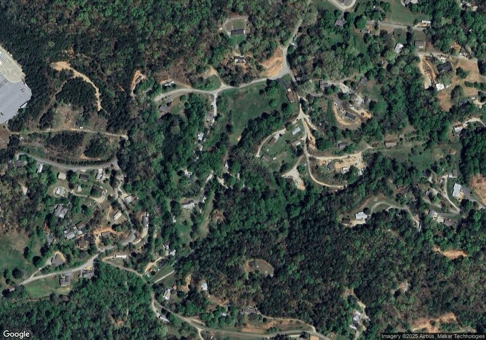
141 Sword Ln Clayton, GA 30525
Estimated Value: $185,961 - $232,000
2
Beds
1
Bath
848
Sq Ft
$247/Sq Ft
Est. Value
About This Home
This home is located at 141 Sword Ln, Clayton, GA 30525 and is currently estimated at $209,490, approximately $247 per square foot. 141 Sword Ln is a home located in Rabun County with nearby schools including Rabun County Primary School, Rabun County High School, and Great Oaks Montessori .
Ownership History
Date
Name
Owned For
Owner Type
Purchase Details
Closed on
Nov 11, 2021
Sold by
Tally Herbert Donald
Bought by
Loudermilk Linda
Current Estimated Value
Purchase Details
Closed on
Nov 24, 2015
Sold by
Rabun County Bank
Bought by
Loudermilk Linda J
Purchase Details
Closed on
Jun 1, 1999
Bought by
Lunsford Perry R
Purchase Details
Closed on
Oct 1, 1997
Purchase Details
Closed on
Jul 1, 1994
Purchase Details
Closed on
Jan 1, 1992
Purchase Details
Closed on
Oct 1, 1990
Create a Home Valuation Report for This Property
The Home Valuation Report is an in-depth analysis detailing your home's value as well as a comparison with similar homes in the area
Home Values in the Area
Average Home Value in this Area
Purchase History
| Date | Buyer | Sale Price | Title Company |
|---|---|---|---|
| Loudermilk Linda | -- | -- | |
| Loudermilk Linda | -- | -- | |
| Loudermilk Linda J | $34,237 | -- | |
| Loudermilk Linda J | $34,237 | -- | |
| Lunsford Perry R | $17,000 | -- | |
| Lunsford Perry R | $17,000 | -- | |
| -- | -- | -- | |
| -- | -- | -- | |
| -- | $13,500 | -- | |
| -- | $13,500 | -- | |
| -- | -- | -- | |
| -- | -- | -- | |
| -- | $10,000 | -- | |
| -- | $10,000 | -- |
Source: Public Records
Tax History Compared to Growth
Tax History
| Year | Tax Paid | Tax Assessment Tax Assessment Total Assessment is a certain percentage of the fair market value that is determined by local assessors to be the total taxable value of land and additions on the property. | Land | Improvement |
|---|---|---|---|---|
| 2024 | $513 | $31,946 | $4,462 | $27,484 |
| 2023 | $523 | $28,577 | $4,200 | $24,377 |
| 2022 | $502 | $27,430 | $3,938 | $23,492 |
| 2021 | $461 | $24,560 | $3,675 | $20,885 |
| 2020 | $465 | $23,986 | $3,675 | $20,311 |
| 2019 | $499 | $25,568 | $3,675 | $21,893 |
| 2018 | $501 | $25,568 | $3,675 | $21,893 |
| 2017 | $481 | $25,568 | $3,675 | $21,893 |
| 2016 | $482 | $25,568 | $3,675 | $21,893 |
| 2015 | $478 | $24,843 | $3,675 | $21,168 |
| 2014 | $1,000 | $51,676 | $7,364 | $44,312 |
Source: Public Records
Map
Nearby Homes
- 66 Post Oak St
- 4528 Highway 76 W
- 7 Dry Pond Dr
- 893 Old 441 S
- 335 S Main St
- 5 W Pinecrest Dr
- 322 Westwind Trail
- LOT 99 Cypress Ct Unit Lot 99
- LOT 87 Forest Glen Ct Unit Lot 87
- 0 Seed Tick Rd Unit 412718
- 0 Toole St Unit 10538991
- 39 Antebellum Ln Unit 101
- 9 Golf Dr
- 623 Deerfield Dr
- 0 Jericho Ln Unit 10498084
- 49 Toole St
- LOT 153 King Mountain Rd Unit LOT 153
- 407 Hillside Dr
- 276 Dunlap St
- 41 Mike Foster Ln
- 141 Sword Ln Unit N/
- 137 Sword Ln
- 38 Jb and Fred Ln
- 82 Sword Ln
- 172 Sword Ln
- 139 Watts Place Rd
- 0 Sword Ln
- 0 Sword Ln Unit 7415044
- 0 Sword Ln Unit 7087865
- 0 Sword Ln Unit 7222100
- 0 Sword Ln Unit 7089439
- 0 Sword Ln Unit 7089391
- 24 Sword Ln
- 118 Catfish Ln
- 55 Jb and Fred Ln
- 8 Catfish Ln
- 615 Stekoa Falls Rd
- 393 Stekoa Falls Rd
- 509 Stekoa Falls Rd
- 15 Jb and Fred Ln
