141 Upper Service Rd Hookstown, PA 15050
Greene Township NeighborhoodEstimated Value: $344,490 - $413,000
3
Beds
2
Baths
1,584
Sq Ft
$241/Sq Ft
Est. Value
About This Home
This home is located at 141 Upper Service Rd, Hookstown, PA 15050 and is currently estimated at $382,373, approximately $241 per square foot. 141 Upper Service Rd is a home located in Beaver County with nearby schools including South Side El School, South Side Middle School, and South Side High School.
Ownership History
Date
Name
Owned For
Owner Type
Purchase Details
Closed on
Nov 29, 2000
Sold by
Tellish Robert
Bought by
Deem Cynthia M
Current Estimated Value
Home Financials for this Owner
Home Financials are based on the most recent Mortgage that was taken out on this home.
Original Mortgage
$140,000
Outstanding Balance
$51,814
Interest Rate
7.76%
Estimated Equity
$330,559
Create a Home Valuation Report for This Property
The Home Valuation Report is an in-depth analysis detailing your home's value as well as a comparison with similar homes in the area
Home Values in the Area
Average Home Value in this Area
Purchase History
| Date | Buyer | Sale Price | Title Company |
|---|---|---|---|
| Deem Cynthia M | $38,500 | -- |
Source: Public Records
Mortgage History
| Date | Status | Borrower | Loan Amount |
|---|---|---|---|
| Open | Deem Cynthia M | $140,000 |
Source: Public Records
Tax History Compared to Growth
Tax History
| Year | Tax Paid | Tax Assessment Tax Assessment Total Assessment is a certain percentage of the fair market value that is determined by local assessors to be the total taxable value of land and additions on the property. | Land | Improvement |
|---|---|---|---|---|
| 2025 | $1,057 | $144,000 | $27,600 | $116,400 |
| 2024 | $4,432 | $144,000 | $27,600 | $116,400 |
| 2023 | $3,916 | $39,600 | $8,000 | $31,600 |
| 2022 | $3,734 | $39,600 | $8,000 | $31,600 |
| 2021 | $3,734 | $39,600 | $8,000 | $31,600 |
| 2020 | $3,629 | $39,600 | $8,000 | $31,600 |
| 2019 | $1,030 | $39,600 | $8,000 | $31,600 |
| 2018 | $3,560 | $39,600 | $8,000 | $31,600 |
| 2017 | $3,560 | $39,600 | $8,000 | $31,600 |
| 2016 | $3,370 | $39,600 | $8,000 | $31,600 |
| 2015 | $879 | $39,600 | $8,000 | $31,600 |
| 2014 | $879 | $39,600 | $8,000 | $31,600 |
Source: Public Records
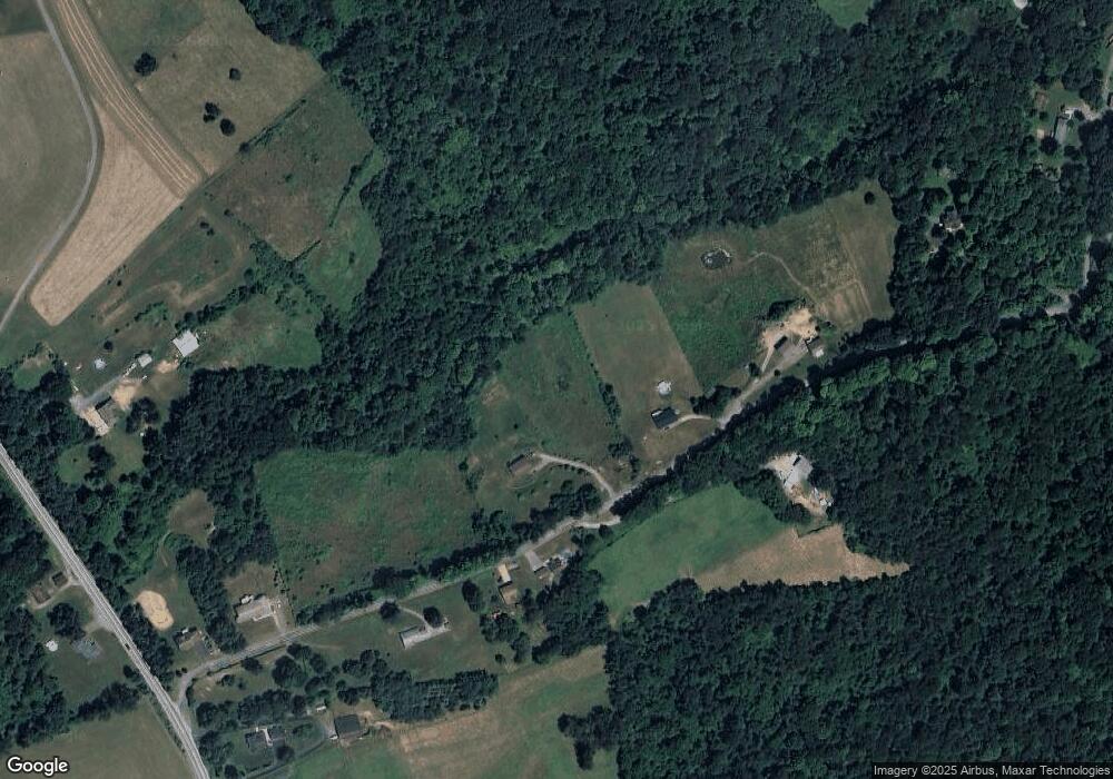
Map
Nearby Homes
- 2496 State Route 30
- 573 Shaffer Rd
- 840 Old Millcreek Rd
- 419 Upper Service Rd
- 144 Langham Dr
- 4839 State Route 151
- 0 Swearingen Unit 1682555
- 0 Us-30 Unit 1713829
- 2618 US Route 30
- 215 Harshaville Rd
- 4695 State Route 151 Unit 20
- 100 Fobes Dr
- 0 Kennedy Rd
- 264 Hanover Kendall Rd
- 208 Mccleary Rd
- 1193 State Route 18
- 2381 Route 18
- 0 Paul Dr
- 199 Allison Rd
- 0 Beaver Midland Rd
- 134 Upper Service Rd
- 128 Upper Service Rd
- 153 Upper Service Rd
- 120 Upper Service Rd
- 163 Upper Service Rd
- 140 Upper Service Rd
- 111 Upper Service Rd
- 105 Upper Service Rd
- 2425 Us Route 30
- 2429 Us Route 30
- 2425 St Rt 30
- 189 Upper Service Rd
- 544 Tower Ln
- 193 Upper Service Rd
- 200 Upper Service Rd
- 538 Tower Ln
- 532 Tower Ln
- 514 Tower Ln
- 971 Old Millcreek Rd
- 971 Old Millcreek Rd