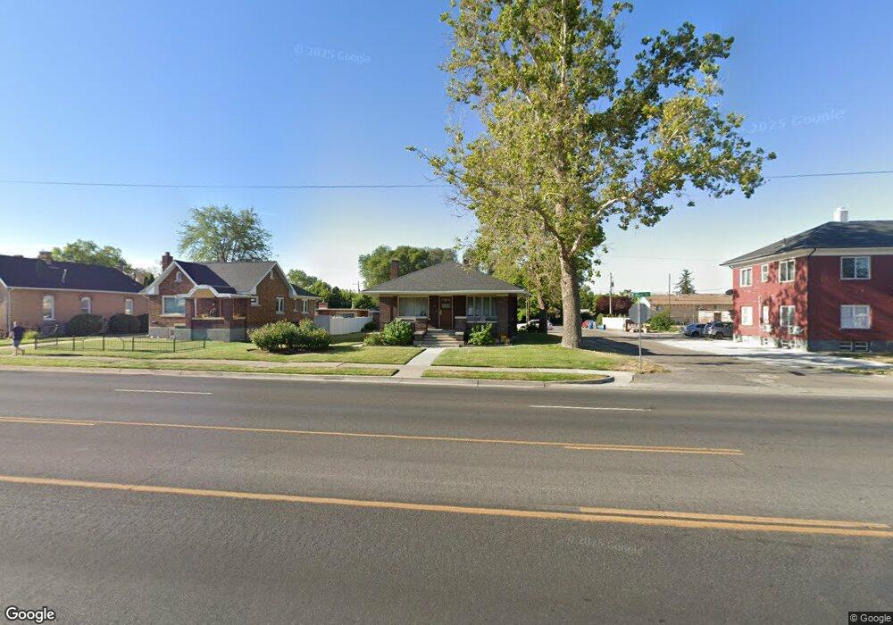
141 W Main St American Fork, UT 84003
Estimated Value: $405,000 - $519,000
2
Beds
1
Bath
1,550
Sq Ft
$294/Sq Ft
Est. Value
About This Home
This home is located at 141 W Main St, American Fork, UT 84003 and is currently estimated at $454,925, approximately $293 per square foot. 141 W Main St is a home located in Utah County with nearby schools including Greenwood Elementary School, American Fork Junior High School, and American Fork High School.
Ownership History
Date
Name
Owned For
Owner Type
Purchase Details
Closed on
Feb 28, 2018
Sold by
Merrill Randall J and Merrill Carolyn H
Bought by
R And C Merrill Llc
Current Estimated Value
Purchase Details
Closed on
Sep 7, 2012
Sold by
Halstrom Geraldene and The Estate Of L Halstrom
Bought by
Merrill Randall J and Merrill Carolyn H
Purchase Details
Closed on
May 9, 2003
Sold by
Fannie Mae
Bought by
Bateman Land & Livestock Llc
Create a Home Valuation Report for This Property
The Home Valuation Report is an in-depth analysis detailing your home's value as well as a comparison with similar homes in the area
Home Values in the Area
Average Home Value in this Area
Purchase History
| Date | Buyer | Sale Price | Title Company |
|---|---|---|---|
| R And C Merrill Llc | -- | None Available | |
| Merrill Randall J | -- | First American Title Co Llc | |
| Bateman Land & Livestock Llc | $62,000 | Empire Land Title Company |
Source: Public Records
Tax History Compared to Growth
Tax History
| Year | Tax Paid | Tax Assessment Tax Assessment Total Assessment is a certain percentage of the fair market value that is determined by local assessors to be the total taxable value of land and additions on the property. | Land | Improvement |
|---|---|---|---|---|
| 2025 | $1,813 | $227,425 | -- | -- |
| 2024 | $1,671 | $201,465 | $0 | $0 |
| 2023 | $1,671 | $196,845 | $0 | $0 |
| 2022 | $1,847 | $214,720 | $0 | $0 |
| 2021 | $1,576 | $286,200 | $138,900 | $147,300 |
| 2020 | $1,471 | $259,100 | $124,000 | $135,100 |
| 2019 | $1,325 | $241,400 | $106,300 | $135,100 |
| 2018 | $1,224 | $213,100 | $95,600 | $117,500 |
| 2017 | $1,224 | $115,060 | $0 | $0 |
| 2016 | $1,106 | $96,580 | $0 | $0 |
| 2015 | $1,165 | $96,580 | $0 | $0 |
| 2014 | $1,158 | $94,655 | $0 | $0 |
Source: Public Records
Map
Nearby Homes
- 6 S 100 W
- 105 N 100 W
- 57 W 200 N
- 195 S Center St
- 351 Washington Ave
- 148 N 100 E
- 120 N 350 W Unit 127
- 120 N 350 W Unit 133
- 120 N 350 W Unit 130
- 120 N 350 W Unit 131
- 163 N Grant Ave
- 217 W Main St
- 138 E 170 N
- 55 Roosevelt Ave
- 370 W Pacific Dr Unit 1
- 382 W 330 S
- 65 E 400 S Unit 8
- 126 S 300 E
- 374 N Center St
- 365 W 370 S