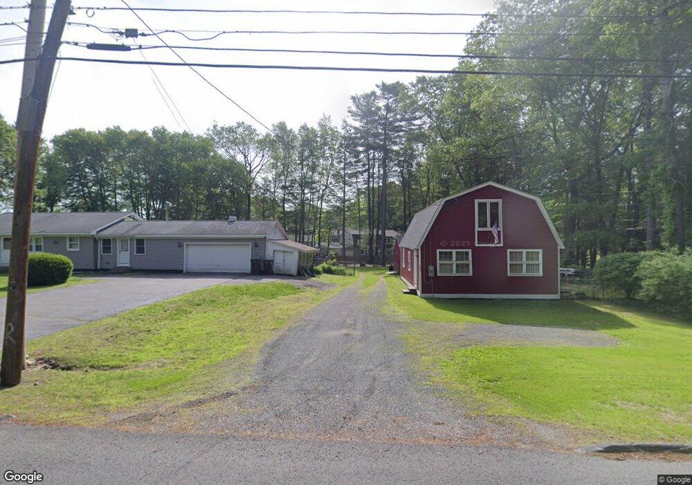
141 Wyben Rd Unit 141 Westfield, MA 01085
Estimated Value: $605,000 - $669,233
4
Beds
4
Baths
2,832
Sq Ft
$220/Sq Ft
Est. Value
About This Home
This home is located at 141 Wyben Rd Unit 141, Westfield, MA 01085 and is currently estimated at $623,308, approximately $220 per square foot. 141 Wyben Rd Unit 141 is a home located in Hampden County with nearby schools including Westfield High School and White Oak School.
Ownership History
Date
Name
Owned For
Owner Type
Purchase Details
Closed on
Jan 20, 2012
Sold by
Neylon Elizabeth A
Bought by
Elizabeth A Neylon T
Current Estimated Value
Purchase Details
Closed on
Mar 8, 2011
Sold by
Neylon Francis X and Neylon Elizabeth A
Bought by
Neylon Elizabeth A
Purchase Details
Closed on
Apr 26, 1972
Bought by
Smidy Peter D and Smidy Kristen M
Create a Home Valuation Report for This Property
The Home Valuation Report is an in-depth analysis detailing your home's value as well as a comparison with similar homes in the area
Home Values in the Area
Average Home Value in this Area
Purchase History
| Date | Buyer | Sale Price | Title Company |
|---|---|---|---|
| Elizabeth A Neylon T | -- | -- | |
| Neylon Elizabeth A | -- | -- | |
| Smidy Peter D | -- | -- |
Source: Public Records
Mortgage History
| Date | Status | Borrower | Loan Amount |
|---|---|---|---|
| Previous Owner | Smidy Peter D | $85,000 |
Source: Public Records
Tax History Compared to Growth
Tax History
| Year | Tax Paid | Tax Assessment Tax Assessment Total Assessment is a certain percentage of the fair market value that is determined by local assessors to be the total taxable value of land and additions on the property. | Land | Improvement |
|---|---|---|---|---|
| 2025 | $8,609 | $567,100 | $146,200 | $420,900 |
| 2024 | $8,699 | $544,700 | $134,000 | $410,700 |
| 2023 | $8,158 | $496,300 | $127,500 | $368,800 |
| 2022 | $8,158 | $441,200 | $114,000 | $327,200 |
| 2021 | $6,955 | $368,400 | $55,200 | $313,200 |
| 2020 | $6,805 | $353,500 | $55,200 | $298,300 |
| 2019 | $6,639 | $337,500 | $51,500 | $286,000 |
| 2018 | $6,534 | $337,500 | $51,500 | $286,000 |
| 2017 | $6,341 | $326,500 | $51,900 | $274,600 |
| 2016 | $6,318 | $325,000 | $85,600 | $239,400 |
| 2015 | $6,055 | $326,600 | $85,600 | $241,000 |
| 2014 | $4,533 | $326,600 | $85,600 | $241,000 |
Source: Public Records
Map
Nearby Homes
- 132 North Rd
- 117 Russellville Rd
- 336 Russellville Rd
- 232 Russellville Rd
- 83 Main Rd
- Lot 5 Brickyard Rd
- 119 Brickyard Rd
- 100 Fomer Rd
- 19 3rd Ave
- 50 Russellville Rd
- 369 College Hwy
- 6 Johns Dr
- Lot 5 Gil Farm Rd
- Lot 6 Gil Farm Rd
- 17 Maple St
- LOT 3 Brickyard Rd
- 868 Southampton Rd Unit 18
- 45 Jaeger Dr
- 47 Jaeger Dr
- 115 Crooked Ledge Rd
- 141 Wyben Rd
- 141 Wyben Rd Unit 1
- 145 Wyben Rd
- 139 Wyben Rd
- L47,30 Winding Ridge Ln
- LOT B E Mountain Rd
- LOT 13 Camelot Ln
- L 1A Hillcrest Cir
- LOT9 Hawk's Cir
- L23 Hawk's Cirlce
- LOT22 Plantation Cir
- L 1 Hillcrest Cir
- L35Z Daniel Ridge
- L35L Hawk's Cir
- LOT M Munger Hill
- LT 13P Rachael Terrace
- LOT 38 Munger Hill Rd
- LT 84N Frank Cir
- LOT 39 Devon Terrace
- LOT 4 Janelle Dr