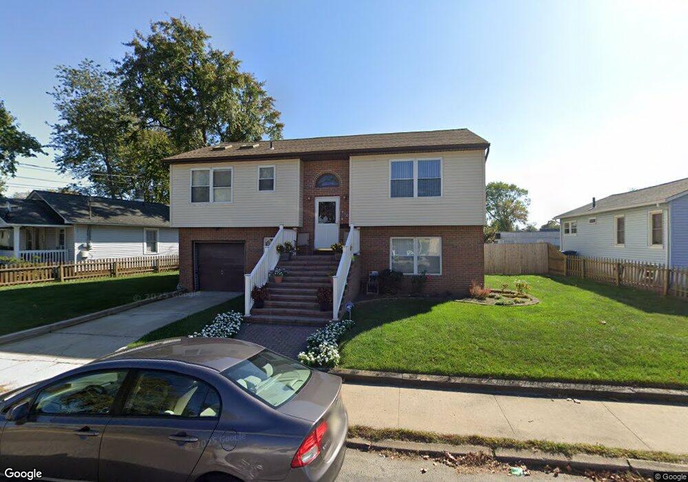
1410 10th Ave Neptune, NJ 07753
Estimated Value: $598,000 - $1,253,842
2
Beds
2
Baths
1,108
Sq Ft
$812/Sq Ft
Est. Value
About This Home
This home is located at 1410 10th Ave, Neptune, NJ 07753 and is currently estimated at $899,961, approximately $812 per square foot. 1410 10th Ave is a home located in Monmouth County with nearby schools including Neptune High School.
Ownership History
Date
Name
Owned For
Owner Type
Purchase Details
Closed on
Sep 28, 2018
Sold by
Wilks William C and Wilks Linda M
Bought by
Brahney Kristina
Current Estimated Value
Home Financials for this Owner
Home Financials are based on the most recent Mortgage that was taken out on this home.
Original Mortgage
$413,600
Outstanding Balance
$360,684
Interest Rate
4.5%
Mortgage Type
New Conventional
Estimated Equity
$539,277
Purchase Details
Closed on
Sep 19, 2005
Sold by
Landis Harriet A
Bought by
Wilks William C and Wilks Linda M
Home Financials for this Owner
Home Financials are based on the most recent Mortgage that was taken out on this home.
Original Mortgage
$348,750
Interest Rate
5.93%
Create a Home Valuation Report for This Property
The Home Valuation Report is an in-depth analysis detailing your home's value as well as a comparison with similar homes in the area
Home Values in the Area
Average Home Value in this Area
Purchase History
| Date | Buyer | Sale Price | Title Company |
|---|---|---|---|
| Brahney Kristina | $470,000 | Trident Abstract Title Agenc | |
| Wilks William C | $465,000 | -- |
Source: Public Records
Mortgage History
| Date | Status | Borrower | Loan Amount |
|---|---|---|---|
| Open | Brahney Kristina | $413,600 | |
| Previous Owner | Wilks William C | $348,750 |
Source: Public Records
Tax History
| Year | Tax Paid | Tax Assessment Tax Assessment Total Assessment is a certain percentage of the fair market value that is determined by local assessors to be the total taxable value of land and additions on the property. | Land | Improvement |
|---|---|---|---|---|
| 2025 | $18,850 | $1,084,000 | $679,200 | $404,800 |
| 2024 | $12,187 | $1,076,500 | $679,200 | $397,300 |
Source: Public Records
Map
Nearby Homes
- 1417 7th Ave
- 1317 7th Ave
- 55 New Jersey 35 Unit 10
- 55 New Jersey 35 Unit 28
- 1329 6th Ave
- 1316 6th Ave
- 601/603 Route 35
- 1509 Embury Ave
- 3 5th Ave Unit Residence 209
- 3 5th Ave Unit Residence 108
- 3 5th Ave Unit Residence 301
- 200 Drummond Ave
- 142 1/2 5th Ave Unit Residence 205
- 142 1/2 5th Ave Unit Residence 108
- 142 1/2 5th Ave Unit Residence 402
- 142 1/2 5th Ave Unit Residence 206
- 1700 6th Ave
- 1601 Heck Ave
- 9 Dewitt Ave
- 5 Ivy Place
Your Personal Tour Guide
Ask me questions while you tour the home.