1410 Bronte Ct Unit 206 Lansdale, PA 19446
Estimated Value: $469,691 - $511,000
3
Beds
3
Baths
2,036
Sq Ft
$240/Sq Ft
Est. Value
About This Home
This home is located at 1410 Bronte Ct Unit 206, Lansdale, PA 19446 and is currently estimated at $488,173, approximately $239 per square foot. 1410 Bronte Ct Unit 206 is a home located in Montgomery County with nearby schools including Gwynedd Square Elementary School, Penndale Middle School, and North Penn Senior High School.
Ownership History
Date
Name
Owned For
Owner Type
Purchase Details
Closed on
Feb 2, 2005
Sold by
Not Provided
Bought by
Not Provided
Current Estimated Value
Home Financials for this Owner
Home Financials are based on the most recent Mortgage that was taken out on this home.
Original Mortgage
$191,760
Outstanding Balance
$97,981
Interest Rate
5.83%
Mortgage Type
New Conventional
Estimated Equity
$390,192
Purchase Details
Closed on
Jan 23, 2003
Sold by
Wooden Steven C and Steiner Lynn A
Bought by
Wooden Steven C and Wooden Lynne A
Purchase Details
Closed on
Jun 8, 1995
Sold by
The Cutler Group Inc
Bought by
Wooden Steven C and Steiner Lynn A
Create a Home Valuation Report for This Property
The Home Valuation Report is an in-depth analysis detailing your home's value as well as a comparison with similar homes in the area
Home Values in the Area
Average Home Value in this Area
Purchase History
| Date | Buyer | Sale Price | Title Company |
|---|---|---|---|
| Not Provided | -- | -- | |
| Wooden Steven C | -- | -- | |
| Wooden Steven C | -- | -- | |
| Wooden Steven C | $152,000 | -- |
Source: Public Records
Mortgage History
| Date | Status | Borrower | Loan Amount |
|---|---|---|---|
| Open | Not Provided | $191,760 |
Source: Public Records
Tax History Compared to Growth
Tax History
| Year | Tax Paid | Tax Assessment Tax Assessment Total Assessment is a certain percentage of the fair market value that is determined by local assessors to be the total taxable value of land and additions on the property. | Land | Improvement |
|---|---|---|---|---|
| 2025 | $5,386 | $146,820 | $24,000 | $122,820 |
| 2024 | $5,386 | $146,820 | $24,000 | $122,820 |
| 2023 | $5,134 | $146,820 | $24,000 | $122,820 |
| 2022 | $4,951 | $146,820 | $24,000 | $122,820 |
| 2021 | $4,821 | $146,820 | $24,000 | $122,820 |
| 2020 | $4,696 | $146,820 | $24,000 | $122,820 |
| 2019 | $4,610 | $146,820 | $24,000 | $122,820 |
| 2018 | $4,610 | $146,820 | $24,000 | $122,820 |
| 2017 | $4,416 | $146,820 | $24,000 | $122,820 |
| 2016 | $4,359 | $146,820 | $24,000 | $122,820 |
| 2015 | $4,271 | $146,820 | $24,000 | $122,820 |
| 2014 | $4,162 | $146,820 | $24,000 | $122,820 |
Source: Public Records
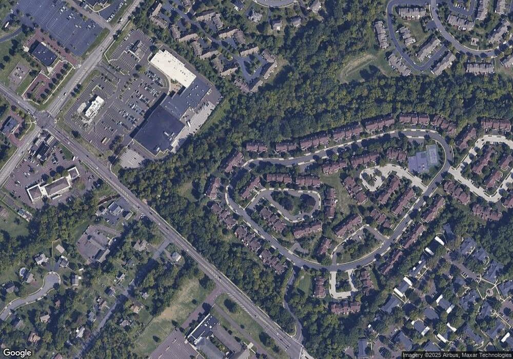
Map
Nearby Homes
- 984 Independence Ln Unit 13
- 803 Poplar Ct
- 1625 Clearbrook Rd
- 1059 Charter Oaks Dr
- 1116 Dogwood Ct
- 210 Berwick Place Unit 20E
- 128 Wellington Terrace
- 1107 Jarvis Ln
- 818 Green St
- 1120 Kingsley Hall Dr
- 1653 Bridle Path Dr
- 1019 Anders Rd
- 937 General Nash Dr
- 10 Wheatley Walk
- 758 Brian Way
- 750 Annes Ct
- 4 State St
- 830 S Broad St
- 197 Eric Ln
- 611 Green St
- 1408 Bronte Ct
- 1406 Bronte Ct
- 1414 Bronte Ct
- 1404 Bronte Ct
- 1416 Bronte Ct
- 1402 Bronte Ct
- 1418 Bronte Ct
- 1387 Gwynedale Way
- 1420 Bronte Ct
- 1385 Gwynedale Way
- 1389 Gwynedale Way
- 1383 Gwynedale Way
- 1391 Gwynedale Way
- 1379 Gwynedale Way
- 1377 Gwynedale Way
- 1381 Gwynedale Way
- 1375 Gwynedale Way
- 1476 Bronte Ct
- 1422 Bronte Ct
- 1393 Gwynedale Way