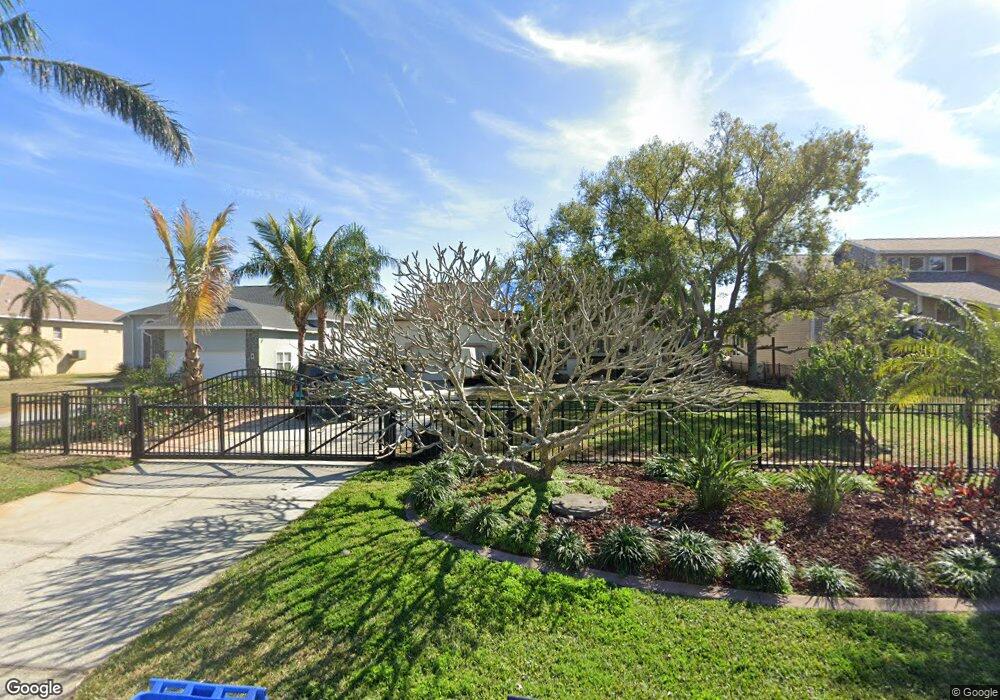
1410 Deirdre Dr Ruskin, FL 33570
Estimated Value: $445,000 - $910,000
3
Beds
2
Baths
1,936
Sq Ft
$323/Sq Ft
Est. Value
About This Home
This home is located at 1410 Deirdre Dr, Ruskin, FL 33570 and is currently estimated at $624,390, approximately $322 per square foot. 1410 Deirdre Dr is a home located in Hillsborough County with nearby schools including Ruskin Elementary School, Shields Middle School, and Lennard High School.
Ownership History
Date
Name
Owned For
Owner Type
Purchase Details
Closed on
Mar 5, 2009
Sold by
Helland Kerwin D and Helland Mary Sue
Bought by
Henson Robert and Henson Janet
Current Estimated Value
Home Financials for this Owner
Home Financials are based on the most recent Mortgage that was taken out on this home.
Original Mortgage
$300,000
Outstanding Balance
$192,372
Interest Rate
5.29%
Mortgage Type
Unknown
Estimated Equity
$432,018
Purchase Details
Closed on
Feb 28, 1994
Sold by
Makara Joseph S and Makara Gertrud
Bought by
Heiland Kerwin D and Heiland Mary Sue
Home Financials for this Owner
Home Financials are based on the most recent Mortgage that was taken out on this home.
Original Mortgage
$110,000
Interest Rate
7.02%
Create a Home Valuation Report for This Property
The Home Valuation Report is an in-depth analysis detailing your home's value as well as a comparison with similar homes in the area
Home Values in the Area
Average Home Value in this Area
Purchase History
| Date | Buyer | Sale Price | Title Company |
|---|---|---|---|
| Henson Robert | -- | Affiliated Title | |
| Henson Robert | $375,000 | Affiliated Title Of Tampa Ba | |
| Heiland Kerwin D | $185,500 | -- |
Source: Public Records
Mortgage History
| Date | Status | Borrower | Loan Amount |
|---|---|---|---|
| Open | Henson Robert | $300,000 | |
| Previous Owner | Heiland Kerwin D | $110,000 |
Source: Public Records
Tax History Compared to Growth
Tax History
| Year | Tax Paid | Tax Assessment Tax Assessment Total Assessment is a certain percentage of the fair market value that is determined by local assessors to be the total taxable value of land and additions on the property. | Land | Improvement |
|---|---|---|---|---|
| 2024 | $4,163 | $244,910 | -- | -- |
| 2023 | $4,009 | $237,777 | $0 | $0 |
| 2022 | $3,814 | $230,851 | $0 | $0 |
| 2021 | $3,757 | $224,127 | $0 | $0 |
| 2020 | $3,665 | $221,033 | $0 | $0 |
| 2019 | $3,554 | $216,064 | $0 | $0 |
| 2018 | $3,498 | $212,035 | $0 | $0 |
| 2017 | $3,450 | $255,191 | $0 | $0 |
| 2016 | $3,409 | $203,403 | $0 | $0 |
| 2015 | $3,447 | $201,989 | $0 | $0 |
| 2014 | $3,421 | $200,386 | $0 | $0 |
| 2013 | -- | $203,333 | $0 | $0 |
Source: Public Records
Map
Nearby Homes
- 304 14th St SW
- 102 W North Branch Rd
- 105 E North Branch Rd
- 106 W North Branch Rd
- 105 12th St SW
- 100 18th St NW
- 119 18th St NW
- 701 Madison St SW
- 0 Sable Cove Unit MFRTB8439435
- 1800 Kofresi Ct
- 404 12th St SW
- 0 11th St SW Unit MFRTB8366394
- 138 19th St NW
- 140 19th St NW
- 133 Trouve Ln
- 1112 W Shell Point Rd Unit 207
- 1112 W Shell Point Rd Unit 107
- 1112 W Shell Point Rd Unit 511
- 1112 W Shell Point Rd Unit 504
- 1603 W Shell Point Rd
- 1408 Deirdre Dr
- 1412 Deirdre Dr
- 1406 Deirdre Dr
- 1414 Deirdre Dr
- 1404 Deirdre Dr
- 1416 Deirdre Dr
- 1409 Deirdre Dr
- 1413 Deirdre Dr
- 1407 Deirdre Dr
- 1415 Deirdre Dr
- 309 14th St SW
- 1411 Deirdre Dr
- 1405 Deirdre Dr
- 1420 Deirdre Dr
- 1402 Deirdre Dr
- 311 14th St SW
- 1417 Deirdre Dr
- 313 14th St SW
- 1419 Deirdre Dr
- 1407 W College Ave