1410 Desvoignes Rd Denison, TX 75021
Estimated Value: $279,117
--
Bed
--
Bath
1,512
Sq Ft
$185/Sq Ft
Est. Value
About This Home
This home is located at 1410 Desvoignes Rd, Denison, TX 75021 and is currently estimated at $279,117, approximately $184 per square foot. 1410 Desvoignes Rd is a home located in Grayson County with nearby schools including Lamar Elementary School, Scott Middle School, and Denison High School.
Ownership History
Date
Name
Owned For
Owner Type
Purchase Details
Closed on
Jan 24, 2022
Sold by
Derrick Jackie Ruth and Wylie Darelene Louise
Bought by
Derrick Reanna Kay
Current Estimated Value
Home Financials for this Owner
Home Financials are based on the most recent Mortgage that was taken out on this home.
Original Mortgage
$172,975
Interest Rate
3.22%
Mortgage Type
Construction
Purchase Details
Closed on
Oct 10, 2007
Sold by
Derrick Jackie R
Bought by
Derrick Larry Wayne
Create a Home Valuation Report for This Property
The Home Valuation Report is an in-depth analysis detailing your home's value as well as a comparison with similar homes in the area
Home Values in the Area
Average Home Value in this Area
Purchase History
| Date | Buyer | Sale Price | Title Company |
|---|---|---|---|
| Derrick Reanna Kay | -- | Independence Title | |
| Derrick Larry Wayne | -- | None Available | |
| Wylie Darlene Louise | -- | None Available |
Source: Public Records
Mortgage History
| Date | Status | Borrower | Loan Amount |
|---|---|---|---|
| Previous Owner | Derrick Reanna Kay | $172,975 |
Source: Public Records
Tax History Compared to Growth
Tax History
| Year | Tax Paid | Tax Assessment Tax Assessment Total Assessment is a certain percentage of the fair market value that is determined by local assessors to be the total taxable value of land and additions on the property. | Land | Improvement |
|---|---|---|---|---|
| 2025 | $238 | $96,176 | $41,770 | $54,406 |
| 2024 | $1,483 | $91,819 | $0 | $0 |
| 2023 | $199 | $115,552 | $0 | $0 |
| 2022 | $1,812 | $104,891 | $0 | $0 |
| 2021 | $1,837 | $100,512 | $38,046 | $62,466 |
| 2020 | $1,876 | $112,776 | $28,432 | $84,344 |
| 2019 | $1,855 | $118,354 | $28,480 | $89,874 |
| 2018 | $1,694 | $98,777 | $26,992 | $71,785 |
| 2017 | $1,515 | $70,118 | $24,401 | $45,717 |
| 2016 | $1,455 | $67,530 | $20,216 | $47,314 |
| 2015 | $197 | $60,256 | $17,382 | $42,874 |
| 2014 | $343 | $63,670 | $18,734 | $44,936 |
Source: Public Records
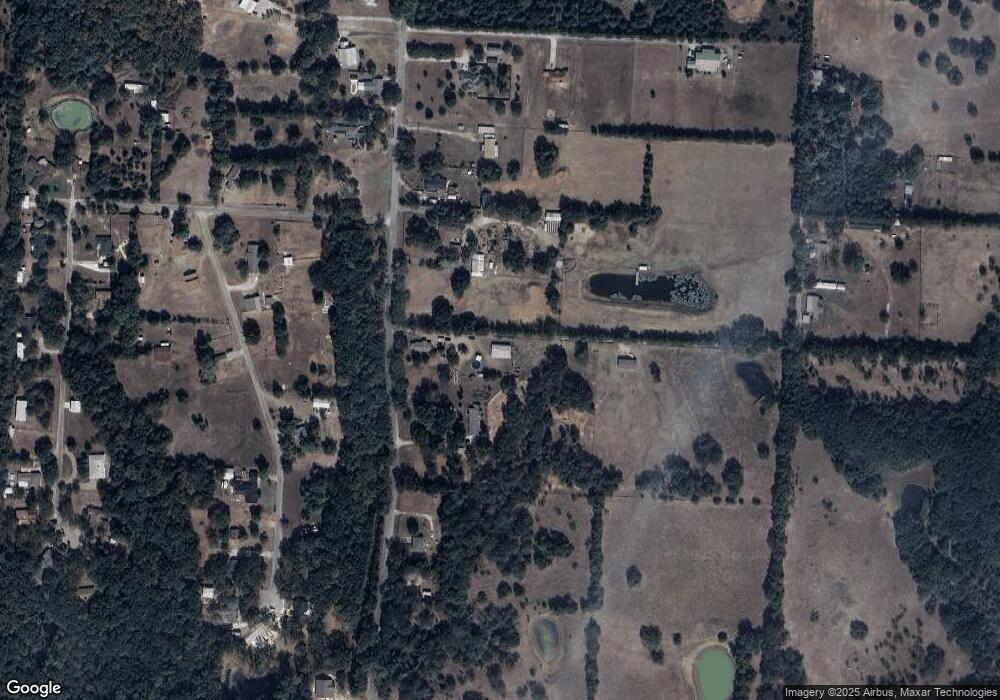
Map
Nearby Homes
- 1513 Desvoignes Rd
- 248 Karen Dr
- 413 Rolling Acres Rd
- 1651 Desvoignes Rd
- 1747 Desvoignes Rd
- 21 Chaparral Estates Dr
- TBD N Highway 69
- 66 Shady Woods Ln
- 249 Martin Dr
- 515 Joy Ln
- 230 Frosty Hollow Rd
- 227 Sheryl Ln
- TBD Johnson Rd
- 601 Dubois St
- 153 Circle Dr
- TBD Cleve Cole Rd
- 608 W Baker St
- 700 Dubois St
- 732 E Bullock St
- 430 W Coffin St
- 1350 Desvoignes Rd
- 1266 Desvoignes Rd
- 1246 Desvoignes Rd
- 1214 Desvoignes Rd
- 1470 Desvoignes Rd
- 152 Karen Dr
- TBD 1 Karen
- 1494 Desvoignes Rd
- 50 Karen Dr
- 1217 Desvoignes Rd
- 1155 Desvoignes Rd
- 1170 Desvoignes Rd
- 99 Karen Dr
- 94 Victoria Ln
- 169 Karen Dr
- 1187 Desvoignes Rd
- 234 Karen Dr
- TBD 2 Karen
- 105 Rolling Acres Rd
- 256 Young Rd