1410 Howell Grove Rd Greensboro, GA 30642
Estimated Value: $3,630,000 - $5,199,000
4
Beds
6
Baths
4,519
Sq Ft
$972/Sq Ft
Est. Value
About This Home
This home is located at 1410 Howell Grove Rd, Greensboro, GA 30642 and is currently estimated at $4,393,133, approximately $972 per square foot. 1410 Howell Grove Rd is a home located in Greene County with nearby schools including Greene County High School.
Ownership History
Date
Name
Owned For
Owner Type
Purchase Details
Closed on
Oct 10, 2019
Sold by
Haight Randon A
Bought by
Jeferies Benjamin Edward
Current Estimated Value
Purchase Details
Closed on
May 8, 2009
Sold by
1061 Olde Chapel Llc
Bought by
Haight Randon A and Haight Patricia A
Purchase Details
Closed on
Jul 27, 2004
Sold by
Linger Longer Dev Co
Bought by
1061 Olde Chapell Llc
Purchase Details
Closed on
Jul 26, 2004
Sold by
Linger Longer Dev Co
Bought by
Haight Randon and Haight Patricia
Create a Home Valuation Report for This Property
The Home Valuation Report is an in-depth analysis detailing your home's value as well as a comparison with similar homes in the area
Home Values in the Area
Average Home Value in this Area
Purchase History
| Date | Buyer | Sale Price | Title Company |
|---|---|---|---|
| Jeferies Benjamin Edward | $2,650,000 | -- | |
| Haight Randon A | -- | -- | |
| 1061 Olde Chapell Llc | -- | -- | |
| Haight Randon | $900,000 | -- |
Source: Public Records
Tax History Compared to Growth
Tax History
| Year | Tax Paid | Tax Assessment Tax Assessment Total Assessment is a certain percentage of the fair market value that is determined by local assessors to be the total taxable value of land and additions on the property. | Land | Improvement |
|---|---|---|---|---|
| 2024 | $23,192 | $1,503,840 | $573,320 | $930,520 |
| 2023 | $19,782 | $1,281,000 | $533,320 | $747,680 |
| 2022 | $22,021 | $1,222,320 | $533,320 | $689,000 |
| 2021 | $20,749 | $1,079,200 | $443,640 | $635,560 |
| 2020 | $15,456 | $724,280 | $281,240 | $443,040 |
| 2019 | $15,698 | $724,280 | $281,240 | $443,040 |
| 2018 | $15,675 | $724,280 | $281,240 | $443,040 |
| 2017 | $14,595 | $718,054 | $281,250 | $436,804 |
| 2016 | $14,696 | $722,828 | $281,250 | $441,578 |
| 2015 | $16,356 | $816,578 | $375,000 | $441,578 |
| 2014 | $15,926 | $774,407 | $375,000 | $399,407 |
Source: Public Records
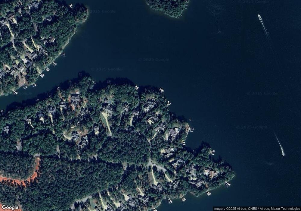
Map
Nearby Homes
- 1020 Grove Ct
- 2.09 ACRES S Grove Rd
- 0 S Grove Rd
- 1030 Brickyard Ln
- 1000 Brickyard Ln
- 1090 Curtright Place
- 1551 Jackson Ridge Rd
- 1541 Richland Pointe
- 1481 Richland Pointe
- 1011 W Rock Loop
- 1491 Night Heron Dr
- 1531 Richland Pointe
- 1070 Broadpoint Dr
- 1111 Longview Commons
- 1321 Jackson Ridge Rd
- 1295 Night Heron Dr
- 1201 Linger Longer Dr
- 1320 Jumping Rock Dr
- 1041 Neils Fort
- 1010 Monfort Ct
- 1410 Howell's Grove Rd
- 1400 Howell's Grove Rd
- 1420 Howell Grove Rd
- 1400 Howell Grove Rd
- 1390 Howells Grove Rd
- 1430 Howell's Grove Rd
- 1440 Howell's Grove Rd
- 1380 Howells Grove Rd
- 1450 Howells Grove Rd
- 1300 Howell's Grove Rd
- 1330 Howell's Grove Rd
- 1460 Howell Grove Rd
- 1451 Howells Grove Rd Unit 35B
- 1451 Howells Grove Rd
- 1470 Howells Grove Rd
- 1461 Howells Grove Rd
- 1441 Howells Grove Rd
- 1033 Grove Ridge View
- 1091 Grove Ridge View
- 1032 Grove Ridge View