1410 Hubbard Thomas Rd Hubbard, OH 44425
Estimated Value: $266,000 - $312,000
4
Beds
3
Baths
2,332
Sq Ft
$127/Sq Ft
Est. Value
About This Home
This home is located at 1410 Hubbard Thomas Rd, Hubbard, OH 44425 and is currently estimated at $295,217, approximately $126 per square foot. 1410 Hubbard Thomas Rd is a home located in Trumbull County with nearby schools including Brookfield Elementary School, Brookfield Middle School, and Brookfield High School.
Ownership History
Date
Name
Owned For
Owner Type
Purchase Details
Closed on
Jan 14, 1998
Sold by
Evans Daniel R
Bought by
Chiaberta Albert A and Chiaberta Sharon L
Current Estimated Value
Purchase Details
Closed on
Jan 1, 1990
Bought by
Daniel R Evans
Create a Home Valuation Report for This Property
The Home Valuation Report is an in-depth analysis detailing your home's value as well as a comparison with similar homes in the area
Home Values in the Area
Average Home Value in this Area
Purchase History
| Date | Buyer | Sale Price | Title Company |
|---|---|---|---|
| Chiaberta Albert A | $128,000 | -- | |
| Daniel R Evans | -- | -- |
Source: Public Records
Tax History Compared to Growth
Tax History
| Year | Tax Paid | Tax Assessment Tax Assessment Total Assessment is a certain percentage of the fair market value that is determined by local assessors to be the total taxable value of land and additions on the property. | Land | Improvement |
|---|---|---|---|---|
| 2024 | $3,095 | $67,070 | $18,170 | $48,900 |
| 2023 | $3,095 | $67,070 | $18,170 | $48,900 |
| 2022 | $3,043 | $53,350 | $16,560 | $36,790 |
| 2021 | $2,852 | $53,350 | $16,560 | $36,790 |
| 2020 | $2,834 | $53,350 | $16,560 | $36,790 |
| 2019 | $2,744 | $48,160 | $15,330 | $32,830 |
| 2018 | $2,720 | $48,160 | $15,330 | $32,830 |
| 2017 | $2,716 | $48,160 | $15,330 | $32,830 |
| 2016 | $2,770 | $47,220 | $17,050 | $30,170 |
| 2015 | $2,775 | $47,220 | $17,050 | $30,170 |
| 2014 | $2,762 | $47,220 | $17,050 | $30,170 |
| 2013 | $2,842 | $49,500 | $17,050 | $32,450 |
Source: Public Records
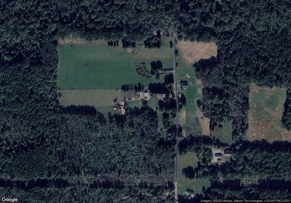
Map
Nearby Homes
- 1354 Stevenson Rd
- 7111 Pine Grove Dr
- 7737 Elm St
- 1911 Hubbard Thomas Rd
- 7822 2nd St
- 7847 Chestnut St
- 6855 Stewart Sharon Rd
- 1952 Hubbard Masury Rd
- 1017 Broadway St
- 7370 Brookwood Dr
- 7086 Warren Sharon Rd
- 6984 Warren Sharon Rd
- 7091 Warren Sharon Rd
- 705 S State Line Rd
- 545 & 625 Davis St
- 691 S Irvine Ave
- 718 State Route 7 NE
- 676 S State Line Rd
- 672 S Stateline Rd
- 7159 Springdale Dr
- Lot 63 Hubbard Thomas
- 1444 Hubbard Thomas Rd
- 1469 Hubbard Thomas Rd
- 1366 Hubbard Thomas Rd
- 1505 Hubbard Thomas Rd
- 1289 Hubbard Thomas Rd
- 1555 Hubbard Thomas Rd
- 1263 Hubbard Thomas Rd
- 1255 Hubbard Thomas Rd
- 1241 Hubbard Thomas Rd
- 1577 Hubbard Thomas Rd
- 1420 Stevenson Rd
- 7538 Balint Ave
- 7538 Balint Ave
- 1404 Stevenson Rd
- 1227 Hubbard Thomas Rd
- 1400 Stevenson Rd
- 1392 Stevenson Rd
- 1607 Hubbard Thomas Rd
- 1429 Stevenson Rd