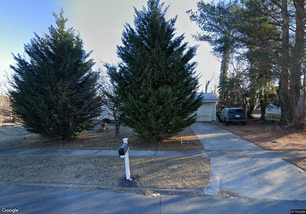
1410 Martin Cir Hendersonville, NC 28792
Estimated Value: $176,000 - $358,000
3
Beds
2
Baths
1,008
Sq Ft
$264/Sq Ft
Est. Value
About This Home
This home is located at 1410 Martin Cir, Hendersonville, NC 28792 and is currently estimated at $266,557, approximately $264 per square foot. 1410 Martin Cir is a home located in Henderson County with nearby schools including Bruce Drysdale Elementary School, Hendersonville Middle School, and Hendersonville High School.
Ownership History
Date
Name
Owned For
Owner Type
Purchase Details
Closed on
Jan 5, 2019
Sold by
West Fred E
Bought by
Ruiz Maria
Current Estimated Value
Home Financials for this Owner
Home Financials are based on the most recent Mortgage that was taken out on this home.
Original Mortgage
$74,987
Interest Rate
4.7%
Mortgage Type
New Conventional
Purchase Details
Closed on
Aug 21, 2013
Sold by
Edwards Jacqueline
Bought by
West Fred E and West Doris M
Create a Home Valuation Report for This Property
The Home Valuation Report is an in-depth analysis detailing your home's value as well as a comparison with similar homes in the area
Home Values in the Area
Average Home Value in this Area
Purchase History
| Date | Buyer | Sale Price | Title Company |
|---|---|---|---|
| Ruiz Maria | $75,000 | -- | |
| West Fred E | $45,000 | -- |
Source: Public Records
Mortgage History
| Date | Status | Borrower | Loan Amount |
|---|---|---|---|
| Previous Owner | Ruiz Maria | $74,987 |
Source: Public Records
Tax History Compared to Growth
Tax History
| Year | Tax Paid | Tax Assessment Tax Assessment Total Assessment is a certain percentage of the fair market value that is determined by local assessors to be the total taxable value of land and additions on the property. | Land | Improvement |
|---|---|---|---|---|
| 2025 | $1,065 | $112,000 | $32,900 | $79,100 |
| 2024 | $1,065 | $112,000 | $32,900 | $79,100 |
| 2023 | $1,032 | $112,000 | $32,900 | $79,100 |
| 2022 | $721 | $66,700 | $15,000 | $51,700 |
| 2021 | $721 | $66,700 | $15,000 | $51,700 |
| 2020 | $701 | $66,700 | $0 | $0 |
| 2019 | $700 | $66,600 | $0 | $0 |
| 2018 | $365 | $64,600 | $0 | $0 |
| 2017 | $365 | $64,600 | $0 | $0 |
| 2016 | $365 | $64,600 | $0 | $0 |
| 2015 | -- | $64,600 | $0 | $0 |
| 2014 | -- | $61,800 | $0 | $0 |
Source: Public Records
Map
Nearby Homes
- 616 Ray Ave
- 00 Locust Grove Rd Unit 2
- 3.02AC 9th Ave E
- 5 Caroline Valley Ln
- 13 Caroline Valley Ln
- 19 Caroline Valley Ln
- Robie Plan at Providence Walk
- Elston Plan at Providence Walk
- Maywood Plan at Providence Walk
- Darwin Plan at Providence Walk
- Rachel Plan at Providence Walk
- 999 Linda Vista Dr
- 64 Lillian Ln
- 90 Providence Walk Dr
- 25 Caroline Valley Ln
- 45 Lauren Ln
- 73 Lauren Ln
- 1102 N Justice St
- 0 Us 64 Hwy Unit CAR4230460
- 903 Fleming St
- 1406 Martin Cir
- 1414 Martin Cir
- 1419 Martin Cir
- 725 Oriole Dr
- 1416 Martin Cir
- 1314 Martin Cir
- 721 Oriole Dr
- 1327 Martin Cir
- 1421 Martin Cir
- 1308 Martin Cir
- 724 Oriole Dr
- 1420 Martin Cir
- 1418 Martin Cir
- 717 Oriole Dr
- 725 White Sparrow Dr
- 1300 Martin Cir
- 721 White Sparrow Dr
- 1226 Martin Cir
- 1225 Martin Cir
- 1206 Martin Cir