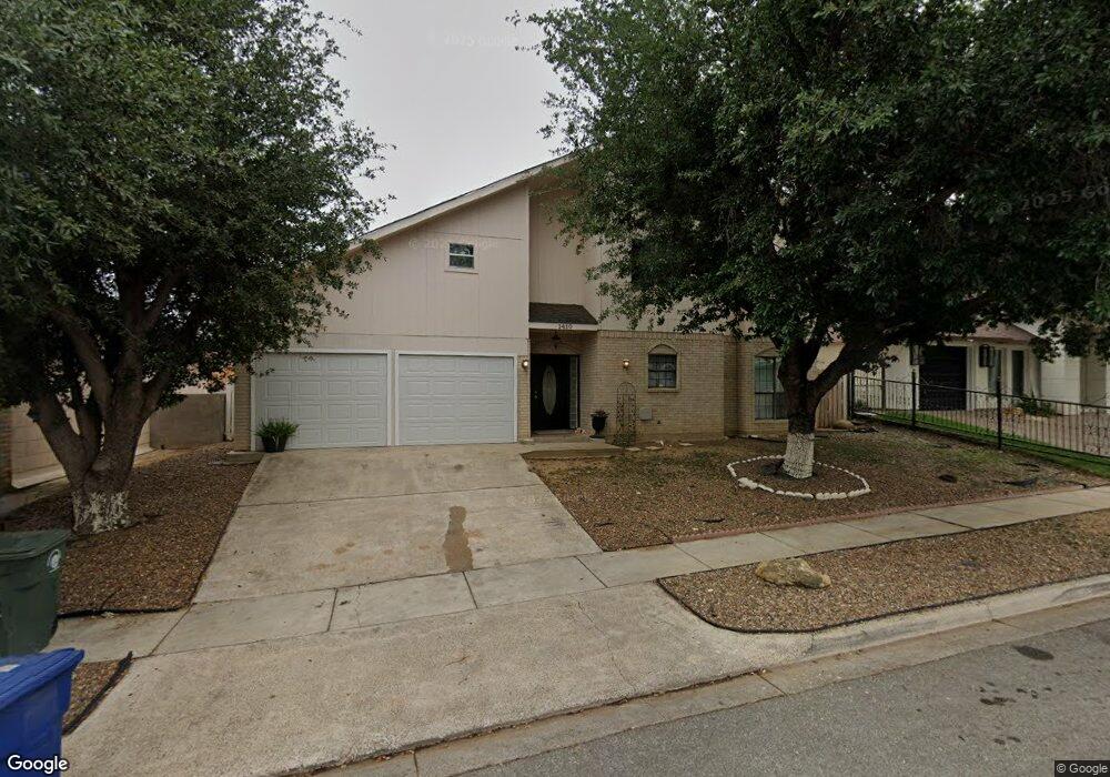
1410 Rosewood Dr Unit 1 Laredo, TX 78041
Estimated Value: $191,000 - $269,411
2
Beds
2
Baths
2,038
Sq Ft
$114/Sq Ft
Est. Value
About This Home
This home is located at 1410 Rosewood Dr Unit 1, Laredo, TX 78041 and is currently estimated at $231,853, approximately $113 per square foot. 1410 Rosewood Dr Unit 1 is a home located in Webb County with nearby schools including Newman Elementary School, Clark Middle School, and John B. Alexander High School.
Ownership History
Date
Name
Owned For
Owner Type
Purchase Details
Closed on
Jan 4, 2022
Sold by
Napali Enterprises Llc
Bought by
Pequeno Patricia V
Current Estimated Value
Home Financials for this Owner
Home Financials are based on the most recent Mortgage that was taken out on this home.
Original Mortgage
$193,325
Outstanding Balance
$177,832
Interest Rate
3.12%
Mortgage Type
FHA
Estimated Equity
$54,021
Create a Home Valuation Report for This Property
The Home Valuation Report is an in-depth analysis detailing your home's value as well as a comparison with similar homes in the area
Home Values in the Area
Average Home Value in this Area
Purchase History
| Date | Buyer | Sale Price | Title Company |
|---|---|---|---|
| Pequeno Patricia V | -- | Capital Title |
Source: Public Records
Mortgage History
| Date | Status | Borrower | Loan Amount |
|---|---|---|---|
| Open | Pequeno Patricia V | $193,325 |
Source: Public Records
Tax History Compared to Growth
Tax History
| Year | Tax Paid | Tax Assessment Tax Assessment Total Assessment is a certain percentage of the fair market value that is determined by local assessors to be the total taxable value of land and additions on the property. | Land | Improvement |
|---|---|---|---|---|
| 2025 | $1,027 | $214,603 | $57,392 | $157,211 |
| 2024 | $1,027 | $202,235 | $57,392 | $144,843 |
| 2023 | $4,229 | $213,053 | $26,961 | $186,092 |
| 2022 | $3,443 | $151,659 | $26,974 | $124,685 |
| 2021 | $3,898 | $151,659 | $26,974 | $124,685 |
| 2020 | $3,485 | $135,410 | $26,960 | $108,450 |
| 2019 | $3,499 | $133,300 | $26,960 | $106,340 |
| 2018 | $3,524 | $132,490 | $21,270 | $111,220 |
| 2017 | $3,321 | $126,790 | $21,270 | $105,520 |
| 2016 | $3,260 | $124,440 | $19,310 | $105,130 |
| 2015 | $2,169 | $118,220 | $18,330 | $99,890 |
| 2014 | $2,169 | $117,100 | $17,540 | $99,560 |
Source: Public Records
Map
Nearby Homes
- 1414 E Hillside Rd
- 704 W Banyan Ct Unit A & B
- 699 W Banyan Ct Unit B
- 600 E Cherry Hill Dr Unit A & B
- 5300 Cypress Dr Unit 33
- 107 Hillside Rd
- 5500 Mcpherson Rd Unit 6
- 5500 Mcpherson Rd Unit 56
- 5500 Mcpherson Rd Unit 12
- 5500 Mcpherson Rd Unit 29
- 5500 Mcpherson Rd Unit 64
- 5500 Mcpherson Rd Unit 28
- 5500 Mcpherson Rd Unit 66
- 318 S Dakota
- 505 Sunridge Loop
- 602 Gale St
- 504 Gale Ct Unit C304
- 504 Gale Ct Unit D403
- 504 Gale Ct Unit C303
- 504 Gale Ct Unit B203
- 1410 Rosewood Dr
- 1408 Rosewood Dr
- 1412 Rosewood Dr
- 1409 Hemlock Dr
- 1411 Hemlock Dr
- 1407 Hemlock Dr
- 1423 Hackberry Ct
- 1414 Rosewood Dr
- 1406 Rosewood Dr
- 1413 Hemlock Dr
- 1405 Hemlock Dr
- 1425 Mahogany Ct
- 1413 Hackberry Ct
- 1416 Rosewood Dr
- 1404 Rosewood Dr
- 1410 Hemlock Dr
- 1415 Hemlock Dr
- 1403 Hemlock Dr
- 1421 Hackberry Ct
- 1408 Hemlock Dr