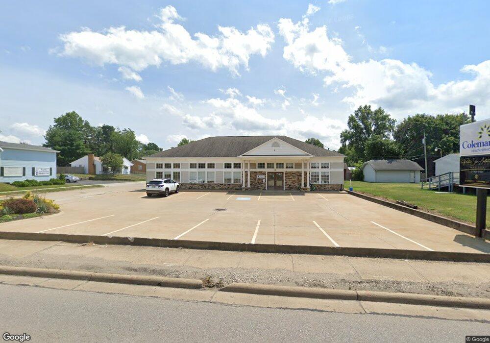
1410 W State St Alliance, OH 44601
--
Bed
3
Baths
3,000
Sq Ft
0.25
Acres
About This Home
This home is located at 1410 W State St, Alliance, OH 44601. 1410 W State St is a home located in Stark County with nearby schools including Alliance Elementary School at Rockhill, Alliance Intermediate School at Northside, and Alliance Middle School.
Ownership History
Date
Name
Owned For
Owner Type
Purchase Details
Closed on
Dec 21, 2010
Sold by
Sell Michael C and Sell Donna M
Bought by
Mcs Of Alliance Llc
Purchase Details
Closed on
Apr 18, 2000
Sold by
Lloyd Betty E
Bought by
Sell Michael C
Home Financials for this Owner
Home Financials are based on the most recent Mortgage that was taken out on this home.
Original Mortgage
$250,000
Interest Rate
8.22%
Mortgage Type
Construction
Create a Home Valuation Report for This Property
The Home Valuation Report is an in-depth analysis detailing your home's value as well as a comparison with similar homes in the area
Home Values in the Area
Average Home Value in this Area
Purchase History
| Date | Buyer | Sale Price | Title Company |
|---|---|---|---|
| Mcs Of Alliance Llc | -- | None Available | |
| Sell Michael C | $72,000 | -- |
Source: Public Records
Mortgage History
| Date | Status | Borrower | Loan Amount |
|---|---|---|---|
| Previous Owner | Sell Michael C | $250,000 |
Source: Public Records
Tax History Compared to Growth
Tax History
| Year | Tax Paid | Tax Assessment Tax Assessment Total Assessment is a certain percentage of the fair market value that is determined by local assessors to be the total taxable value of land and additions on the property. | Land | Improvement |
|---|---|---|---|---|
| 2025 | -- | $162,270 | $19,920 | $142,350 |
| 2024 | -- | $162,270 | $19,920 | $142,350 |
| 2023 | $7,550 | $142,460 | $35,670 | $106,790 |
| 2022 | $7,623 | $142,460 | $35,670 | $106,790 |
| 2021 | $7,587 | $142,460 | $35,670 | $106,790 |
| 2020 | $7,440 | $129,500 | $32,410 | $97,090 |
| 2019 | $7,154 | $127,650 | $32,410 | $95,240 |
| 2018 | $7,066 | $127,650 | $32,410 | $95,240 |
| 2017 | $7,067 | $123,590 | $10,920 | $112,670 |
| 2016 | $7,110 | $123,590 | $10,920 | $112,670 |
| 2015 | $7,161 | $123,590 | $10,920 | $112,670 |
| 2014 | $1,018 | $118,800 | $10,500 | $108,300 |
| 2013 | $3,481 | $118,800 | $10,500 | $108,300 |
Source: Public Records
Map
Nearby Homes
- 2050 Federal Ave
- 2112 Blenheim Ave
- 2220 Western Ave
- 884 W College Rd
- 1201 Overlook Dr
- 1059 Oakwood Dr
- 1515 S Rockhill Ave
- 1321 Parkway Blvd
- 1038 Fairview Place
- 2839 S Rockhill Ave
- 970 Kingsway St
- 0 Winchester St
- 0 Winchester St Unit 5162877
- 738 Kingsway St
- 2081 Marwood Cir
- 896 Parkway Blvd
- 3101 Ridgehill Ave
- 1430 Westwood Ave
- 1325 W Beech St
- 734 Parkway Blvd
- 1420 W State St
- 1432 W State St
- 2035 Blenheim Ave
- 1380 W State St
- 2045 Blenheim Ave
- 1452 W State St
- 1370 W State St
- 1372 W State St
- 2034 Blenheim Ave
- 2055 Blenheim Ave
- 1360 W State St
- 2048 Blenheim Ave
- 2034 Federal Ave
- 1437 W State St
- 2066 Blenheim Ave
- 2073 Blenheim Ave
- 2073 Blenheim Ave
- 1320 W State St
- 1306 W State St
- 2072 Blenheim Ave