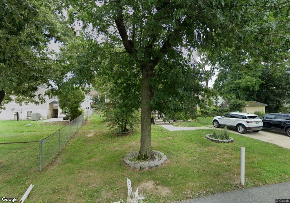
14105 Waggaman Ave Laurel, MD 20707
South Laurel NeighborhoodEstimated Value: $468,801 - $520,000
4
Beds
3
Baths
1,140
Sq Ft
$428/Sq Ft
Est. Value
About This Home
This home is located at 14105 Waggaman Ave, Laurel, MD 20707 and is currently estimated at $488,450, approximately $428 per square foot. 14105 Waggaman Ave is a home located in Prince George's County with nearby schools including James H. Harrison Elementary School, Laurel High School, and Christian Academy of Laurel.
Ownership History
Date
Name
Owned For
Owner Type
Purchase Details
Closed on
Aug 24, 2001
Sold by
Flynn Charles S
Bought by
Herring Hilton T Etal
Current Estimated Value
Create a Home Valuation Report for This Property
The Home Valuation Report is an in-depth analysis detailing your home's value as well as a comparison with similar homes in the area
Home Values in the Area
Average Home Value in this Area
Purchase History
| Date | Buyer | Sale Price | Title Company |
|---|---|---|---|
| Herring Hilton T Etal | $175,000 | -- |
Source: Public Records
Tax History Compared to Growth
Tax History
| Year | Tax Paid | Tax Assessment Tax Assessment Total Assessment is a certain percentage of the fair market value that is determined by local assessors to be the total taxable value of land and additions on the property. | Land | Improvement |
|---|---|---|---|---|
| 2025 | $5,218 | $440,000 | $110,500 | $329,500 |
| 2024 | $5,218 | $407,667 | $0 | $0 |
| 2023 | $4,979 | $375,333 | $0 | $0 |
| 2022 | $4,694 | $343,000 | $100,500 | $242,500 |
| 2021 | $4,536 | $335,667 | $0 | $0 |
| 2020 | $4,476 | $328,333 | $0 | $0 |
| 2019 | $4,309 | $321,000 | $75,200 | $245,800 |
| 2018 | $4,105 | $289,567 | $0 | $0 |
| 2017 | $3,935 | $258,133 | $0 | $0 |
| 2016 | -- | $226,700 | $0 | $0 |
| 2015 | $3,497 | $223,800 | $0 | $0 |
| 2014 | $3,497 | $220,900 | $0 | $0 |
Source: Public Records
Map
Nearby Homes
- 0 Chestnut Ridge Dr
- 0 Railroad Ave
- 14105 William St Unit 15-C
- 14226 Yardarm Way Unit 107
- 14106 William St Unit 19B
- 14011F Briston St
- 14007 Briston St
- 14114B Lauren Ln
- 8210 Willow St
- 14119 Bowsprit Ln Unit 312
- 14007B Korba Place Unit 2B
- 14002F Korba Place
- 14229 Bowsprit Ln Unit 501
- 14012C Justin Way Unit 26-C
- 8203 Willow St
- 8700 Kiama Rd
- 7902 Bayshore Dr Unit 32
- 14016 Vista Dr Unit 13A
- 9274 Cherry Ln Unit 82
- 14018 Vista Dr
- 8601 Locust Grove Dr
- 8605 Locust Grove Dr
- 14103 Waggaman Ave
- 8602 Lindendale Dr
- 8604 Lindendale Dr
- 8607 Locust Grove Dr
- 8519 Locust Grove Dr
- 14102 Waggaman Ave
- 8606 Lindendale Dr
- 8609 Locust Grove Dr
- 8517 Locust Grove Dr
- 8608 Lindendale Dr
- 8516 Lindendale Dr
- 8611 Locust Grove Dr
- 8515 Locust Grove Dr
- 8600 Locust Grove Dr
- 8514 Lindendale Dr
- 8604 Locust Grove Dr
- 8610 Lindendale Dr
- 8613 Locust Grove Dr