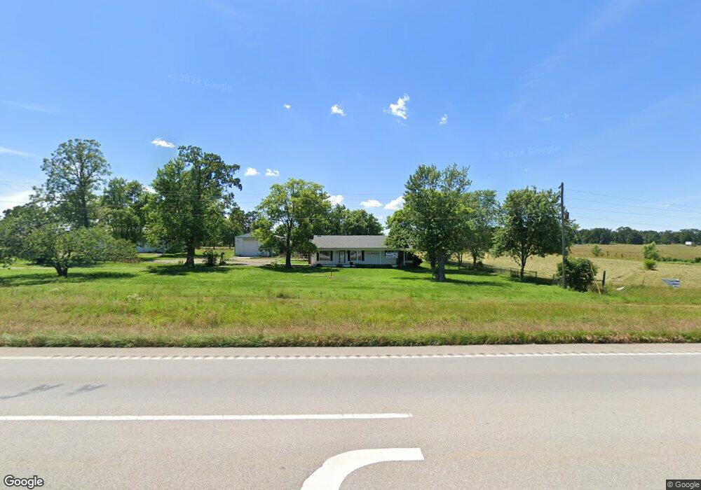
14107 State Highway 37 Cassville, MO 65625
Estimated Value: $138,000 - $314,000
3
Beds
1
Bath
1,779
Sq Ft
$130/Sq Ft
Est. Value
About This Home
This home is located at 14107 State Highway 37, Cassville, MO 65625 and is currently estimated at $231,729, approximately $130 per square foot. 14107 State Highway 37 is a home located in Barry County with nearby schools including Eunice Thomas Elementary School, Cassville Intermediate School, and Cassville Middle School.
Ownership History
Date
Name
Owned For
Owner Type
Purchase Details
Closed on
Jul 9, 2025
Sold by
Sarah L Miller Revocable Trust and Freitag Sarah L
Bought by
Leverich Maxwell and Leverich Michelle
Current Estimated Value
Purchase Details
Closed on
Feb 28, 2025
Sold by
Lotufo Robert J and Lotufo Sherry
Bought by
Ozark Properties Llc and P & P Holdings Llc
Purchase Details
Closed on
Mar 15, 2024
Sold by
Lt Trust
Bought by
Lotufo Robert J
Home Financials for this Owner
Home Financials are based on the most recent Mortgage that was taken out on this home.
Original Mortgage
$275,500
Interest Rate
6.63%
Mortgage Type
New Conventional
Purchase Details
Closed on
Nov 20, 2023
Sold by
Hopkins Joe K and Famil Evelyn
Bought by
Lt Trust and Sidio
Create a Home Valuation Report for This Property
The Home Valuation Report is an in-depth analysis detailing your home's value as well as a comparison with similar homes in the area
Home Values in the Area
Average Home Value in this Area
Purchase History
| Date | Buyer | Sale Price | Title Company |
|---|---|---|---|
| Leverich Maxwell | -- | Meridian Title Company | |
| Leverich Maxwell | -- | Meridian Title Company | |
| Leverich Maxwell | -- | Meridian Title Company | |
| Leverich Maxwell | -- | Meridian Title Company | |
| Ozark Properties Llc | -- | Meridian Title | |
| Ozark Properties Llc | -- | Meridian Title | |
| Lotufo Robert J | -- | Barry County Abstract & Title | |
| Lt Trust | -- | Barry County Abstract & Title |
Source: Public Records
Mortgage History
| Date | Status | Borrower | Loan Amount |
|---|---|---|---|
| Previous Owner | Lotufo Robert J | $275,500 |
Source: Public Records
Tax History Compared to Growth
Tax History
| Year | Tax Paid | Tax Assessment Tax Assessment Total Assessment is a certain percentage of the fair market value that is determined by local assessors to be the total taxable value of land and additions on the property. | Land | Improvement |
|---|---|---|---|---|
| 2025 | $666 | $14,471 | $2,008 | $12,463 |
| 2024 | $666 | $13,616 | $2,008 | $11,608 |
| 2023 | $625 | $13,604 | $1,996 | $11,608 |
| 2022 | $620 | $13,486 | $1,878 | $11,608 |
| 2021 | $605 | $13,106 | $1,498 | $11,608 |
| 2020 | $605 | $13,106 | $1,498 | $11,608 |
| 2018 | $591 | $13,118 | $1,510 | $11,608 |
| 2017 | $590 | $13,118 | $1,510 | $11,608 |
| 2016 | $556 | $12,225 | $1,320 | $10,905 |
| 2015 | -- | $12,244 | $1,320 | $10,924 |
| 2014 | -- | $12,232 | $1,308 | $10,924 |
| 2012 | -- | $0 | $0 | $0 |
Source: Public Records
Map
Nearby Homes
- 000-B Farm Road 1090
- 000-A Farm Road 1090
- 10106 N Maple St
- 10603 N Main St
- 15223 State Highway 37
- 13915 Farm Road 1115
- 000 Farm Road 2140
- 3110 Main St
- 1408 Nottingham Dr
- 1407 Nottingham Dr
- 106 Rosedale St
- 1002 Lake Road Dr
- 1421 Oakhill Dr
- 303 Melton Way
- 301 Blackberry Ct
- 000 Luney Dr
- 1605 N Main St
- 1102 Sapp St
- 1400 Old Exeter Rd
- 000 Farm Road 1047
- 8708 Farm Road 2140
- 13907 State Highway 37
- 0000 Farm Road 1090 Lot4
- 9125 Farm Road 2140
- 13660 Farm Road 1090
- 8516 Farm Rd Unit 2140
- 000-C Farm Road 1090
- 000-17 Farm Road 1090
- 8516 Farm Road 2140
- 9238 Farm Road 2140
- 9317 Farm Road 2140
- 14403 State Highway 37
- 13873 Farm Road 1095
- 8752 Farm Road 2145
- 9389 Farm Road 2140
- 13653 Farm Road 1095
- 8182 Farm Road 2140
- 10602 W 1st St
- 9745 State Hwy W
- 14577 Farm Road 1085