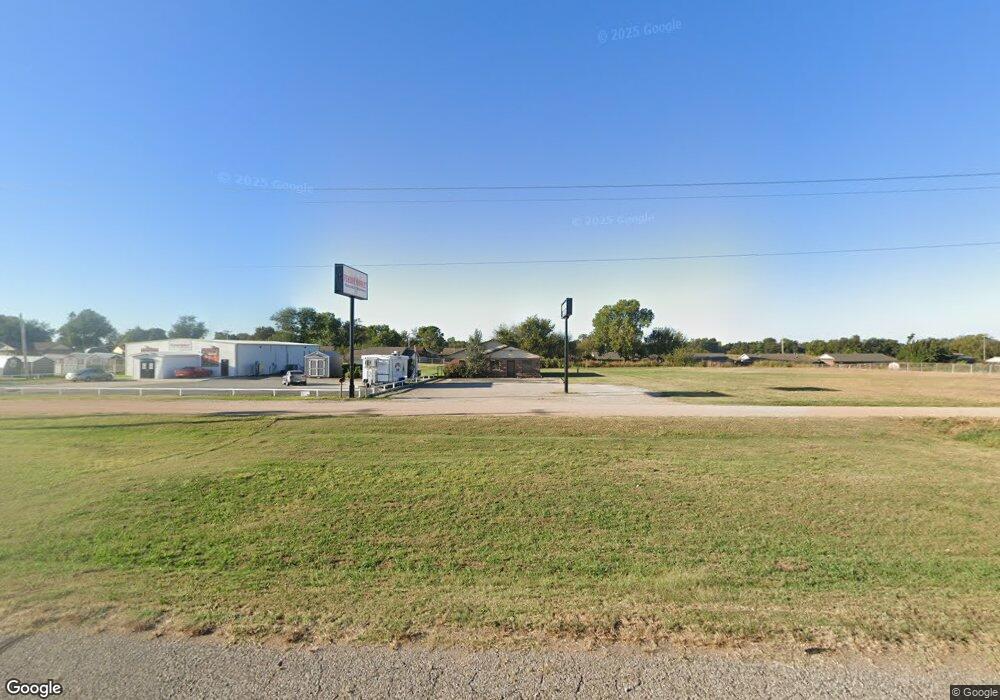
14108 Highway 177 Shawnee, OK 74804
Estimated Value: $222,552
--
Bed
2
Baths
1,788
Sq Ft
$124/Sq Ft
Est. Value
About This Home
This home is located at 14108 Highway 177, Shawnee, OK 74804 and is currently estimated at $222,552, approximately $124 per square foot. 14108 Highway 177 is a home located in Pottawatomie County with nearby schools including Will Rogers Elementary School, Shawnee Middle School, and Shawnee High School.
Ownership History
Date
Name
Owned For
Owner Type
Purchase Details
Closed on
Jan 19, 2023
Sold by
Martin L G L and Martin Julia
Bought by
Full Circle Church Inc
Current Estimated Value
Home Financials for this Owner
Home Financials are based on the most recent Mortgage that was taken out on this home.
Original Mortgage
$199,930
Outstanding Balance
$175,567
Interest Rate
5.67%
Mortgage Type
New Conventional
Estimated Equity
$46,985
Purchase Details
Closed on
Jul 25, 2002
Sold by
Burk Roger and Burk Marily
Bought by
Martin Lg and Martin Julia
Purchase Details
Closed on
Dec 22, 1999
Sold by
Pott Co Farm Bureau
Bought by
Burk Roger and Burk Marily
Create a Home Valuation Report for This Property
The Home Valuation Report is an in-depth analysis detailing your home's value as well as a comparison with similar homes in the area
Home Values in the Area
Average Home Value in this Area
Purchase History
| Date | Buyer | Sale Price | Title Company |
|---|---|---|---|
| Full Circle Church Inc | $199,900 | Stuart & Clover Title | |
| Martin Lg | $80,000 | -- | |
| Burk Roger | $55,000 | -- |
Source: Public Records
Mortgage History
| Date | Status | Borrower | Loan Amount |
|---|---|---|---|
| Open | Full Circle Church Inc | $199,930 |
Source: Public Records
Tax History Compared to Growth
Tax History
| Year | Tax Paid | Tax Assessment Tax Assessment Total Assessment is a certain percentage of the fair market value that is determined by local assessors to be the total taxable value of land and additions on the property. | Land | Improvement |
|---|---|---|---|---|
| 2024 | $703 | $24,000 | $1,139 | $22,861 |
| 2023 | $703 | $6,733 | $1,139 | $5,594 |
| 2022 | $691 | $6,733 | $1,139 | $5,594 |
| 2021 | $678 | $6,733 | $1,139 | $5,594 |
| 2020 | $725 | $7,171 | $1,139 | $6,032 |
| 2019 | $772 | $7,390 | $1,139 | $6,251 |
| 2018 | $844 | $8,251 | $1,380 | $6,871 |
| 2017 | $793 | $7,858 | $1,380 | $6,478 |
| 2016 | $831 | $8,140 | $1,380 | $6,760 |
| 2015 | $788 | $7,878 | $1,380 | $6,498 |
| 2014 | $793 | $7,925 | $900 | $7,025 |
Source: Public Records
Map
Nearby Homes
- 37614 W Macarthur St
- 1914 Oak Tree Ct
- 1933 Rain Tree Dr
- 1902 Oak Tree Ct
- 1900 Timber Dale Dr
- 2227 Whispering Pine Blvd
- 1828 W Federal St
- 1821 W Wiley St
- 2418 Ellis Dr
- 13804 Coker Rd
- 2666 Legacy Place
- 2700 Woodlawn Ct
- 38604 Collina Dr
- 121 Lake Shore Dr
- 129 Lake Shore Dr
- 1000 W 45th St
- 29 Timber Creek Way
- 13 Robby Rd
- 7 N Tawana Dr
- 1522 W Wheeler St
- 14110 Highway 177
- 14106 Acme Rd Unit E
- 14106 Acme Rd Unit A
- 14106 Acme Rd Unit D
- 14106 Acme Rd
- 14002 Acme Rd
- 14210 Hwy 177
- 2938 Robert Rd
- 2926 Robert Rd
- 2956 Robert Rd Unit 2
- 2946 Robert Rd
- 101 Gayla
- 2955 Robert Rd
- 102 Gayla
- 103 Gayla
- 2965 Robert Rd
- 2921 Robert Rd
- 38971 Macarthur St
- 2821 Robert Rd
- 104 Gayla