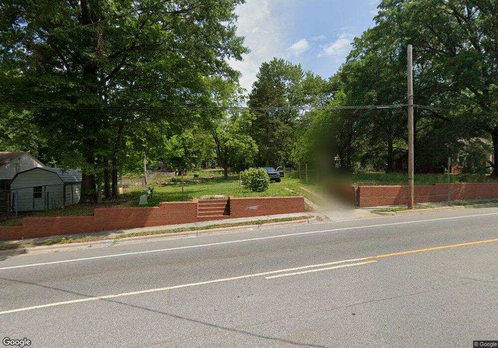
1411 E Green Dr High Point, NC 27260
Greater High Point NeighborhoodEstimated Value: $128,357 - $291,000
3
Beds
1
Bath
1,898
Sq Ft
$105/Sq Ft
Est. Value
About This Home
This home is located at 1411 E Green Dr, High Point, NC 27260 and is currently estimated at $199,589, approximately $105 per square foot. 1411 E Green Dr is a home located in Guilford County with nearby schools including Triangle Lake Montessori School, Southwest Guilford Middle School, and Southwest Guilford High School.
Ownership History
Date
Name
Owned For
Owner Type
Purchase Details
Closed on
Sep 3, 2021
Sold by
Pearson Anthony and Davis Sylvia
Bought by
City Of High Point
Current Estimated Value
Purchase Details
Closed on
Jun 13, 2011
Sold by
Jaimes Eliud Campuzano and Jamies Lorena
Bought by
Pearson Anthony and Davis Sylvia
Purchase Details
Closed on
Oct 21, 2009
Sold by
Phillips Johnny and Phillips Yvonne A
Bought by
Jaimes Eliud Campuzano and Jaimes Eluid Campuzano
Purchase Details
Closed on
Oct 8, 1998
Sold by
Phillips Yvonne Lee A and Latham Rita Ann A
Bought by
Phillips Johnny and Phillips Yvonne Lee A
Create a Home Valuation Report for This Property
The Home Valuation Report is an in-depth analysis detailing your home's value as well as a comparison with similar homes in the area
Home Values in the Area
Average Home Value in this Area
Purchase History
| Date | Buyer | Sale Price | Title Company |
|---|---|---|---|
| City Of High Point | $22,751 | None Available | |
| Pearson Anthony | $25,000 | None Available | |
| Jaimes Eliud Campuzano | $28,000 | None Available | |
| Phillips Johnny | $10,000 | -- |
Source: Public Records
Tax History
| Year | Tax Paid | Tax Assessment Tax Assessment Total Assessment is a certain percentage of the fair market value that is determined by local assessors to be the total taxable value of land and additions on the property. | Land | Improvement |
|---|---|---|---|---|
| 2025 | -- | $9,200 | $9,200 | -- |
| 2024 | -- | $9,200 | $9,200 | -- |
| 2023 | -- | $9,200 | $9,200 | $0 |
| 2022 | $0 | $9,200 | $9,200 | $0 |
| 2021 | $1,180 | $5,800 | $5,800 | $0 |
| 2020 | $480 | $5,800 | $5,800 | $0 |
| 2019 | $13,906 | $26,900 | $0 | $0 |
| 2018 | $3,125 | $26,900 | $0 | $0 |
| 2017 | $371 | $26,900 | $0 | $0 |
| 2016 | $314 | $22,400 | $0 | $0 |
| 2015 | $316 | $22,400 | $0 | $0 |
| 2014 | $321 | $22,400 | $0 | $0 |
Source: Public Records
Map
Nearby Homes
- 1314 Franklin Ave
- 640 Wesley Dr
- 1907 E Green Dr
- 1110 Worth St
- 1914 E Russell Ave
- 1219 Furlough Ave
- 515 Cable St
- 812 E Russell Ave
- 1806 Franklin Ave
- 1809 Franklin Ave
- 1111 Winslow St
- 516 Whiteoak St
- 518 Whiteoak St
- 517 Walnut St
- 809 E Green Dr
- 811 Worth St
- 1204 Pearson Place
- 1201 Pearson Place
- 1908 Leonard Ave
- 1012 Jefferson St
- 1409 E Green Dr
- 1417 E Green Dr
- 1410 E Green Dr
- 514 Hines St
- 617 Caudell Place
- 1404 E Green Dr
- 1403 E Green Dr
- 1501 E Green Dr
- 512 Hines St
- 815 Woodbury St
- 1406 E Green
- 606 Hines St
- 1500 E Green Dr
- 1400 E Green Dr
- 813 Woodbury St
- 1503 E Green Dr
- 618 Caudell Place
- 1502 E Green Dr
- 1409 Ragan Ave
- 610 Hines St
Your Personal Tour Guide
Ask me questions while you tour the home.