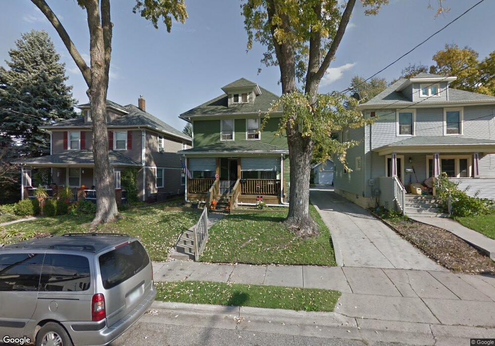
1411 Linval St Lansing, MI 48910
Fabulous Acres NeighborhoodEstimated Value: $72,000 - $110,000
3
Beds
1
Bath
1,448
Sq Ft
$66/Sq Ft
Est. Value
About This Home
This home is located at 1411 Linval St, Lansing, MI 48910 and is currently estimated at $95,032, approximately $65 per square foot. 1411 Linval St is a home located in Ingham County with nearby schools including Lyons Elementary School, Pattengill Academy, and Eastern High School.
Ownership History
Date
Name
Owned For
Owner Type
Purchase Details
Closed on
May 24, 2010
Sold by
Munro Michael E
Bought by
Munro Family Properties Llc
Current Estimated Value
Purchase Details
Closed on
May 21, 2009
Sold by
Lowe Tim and Lowe Rebecca
Bought by
Deutsche Bank National Trust Company
Purchase Details
Closed on
Nov 3, 2006
Sold by
Rahar Abraham and Rahar Freda
Bought by
Lowe Tim
Purchase Details
Closed on
Mar 3, 2006
Sold by
Rahar Freda
Bought by
Rahar Freda and Rahar Abraham
Create a Home Valuation Report for This Property
The Home Valuation Report is an in-depth analysis detailing your home's value as well as a comparison with similar homes in the area
Home Values in the Area
Average Home Value in this Area
Purchase History
| Date | Buyer | Sale Price | Title Company |
|---|---|---|---|
| Munro Family Properties Llc | -- | None Available | |
| Deutsche Bank National Trust Company | $63,797 | None Available | |
| Lowe Tim | $38,900 | Title 1St | |
| Rahar Freda | -- | None Available |
Source: Public Records
Tax History Compared to Growth
Tax History
| Year | Tax Paid | Tax Assessment Tax Assessment Total Assessment is a certain percentage of the fair market value that is determined by local assessors to be the total taxable value of land and additions on the property. | Land | Improvement |
|---|---|---|---|---|
| 2025 | $1,977 | $45,200 | $4,000 | $41,200 |
| 2024 | $16 | $36,800 | $4,000 | $32,800 |
| 2023 | $1,862 | $32,200 | $4,000 | $28,200 |
| 2022 | $1,703 | $28,500 | $3,100 | $25,400 |
| 2021 | $1,664 | $25,400 | $3,000 | $22,400 |
| 2020 | $1,652 | $23,500 | $3,000 | $20,500 |
| 2019 | $1,594 | $21,400 | $3,000 | $18,400 |
| 2018 | $1,513 | $19,300 | $3,000 | $16,300 |
| 2017 | $1,455 | $19,300 | $3,000 | $16,300 |
| 2016 | $1,411 | $18,900 | $3,000 | $15,900 |
| 2015 | $1,411 | $18,400 | $6,004 | $12,396 |
| 2014 | $1,411 | $18,300 | $4,157 | $14,143 |
Source: Public Records
Map
Nearby Homes
- 515 Jason Ct
- 506 Christiancy St
- 531 Torrence Ct
- 1539 Linval St
- 1437 Ada St
- 707 Isbell St
- 1423 Pontiac St
- 1731 Herbert St
- 1818 Ray St
- 1529 S Pennsylvania Ave
- 147 Isbell St
- 525 E Mount Hope Ave
- 1800 Herbert St
- 1408 Reo Ave
- 1406 Reo Ave
- 704 Mckim Ave
- 1022 S Grand Ave
- 1722 S Washington Ave
- 202 Woodlawn Ave
- 139 Woodlawn Ave
- 1413 Linval St
- 1407 Linval St
- 1417 Linval St
- 1419 Linval St
- 611 Baker St
- 1414 Bailey St
- 615 Baker St
- 1416 Linval St
- 1412 Linval St
- 1408 Linval St
- 1418 Bailey St
- 1404 Linval St
- 1402 Linval St
- 1422 Linval St
- 547 Baker St
- 621 Baker St Unit 1
- 530 Christiancy St
- 625 Baker St
- 545 Baker St
- 537 Christiancy St