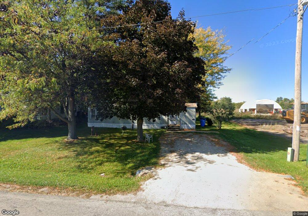
1411 Range Tr Montrose, WI 53593
Estimated Value: $127,695 - $418,000
2
Beds
1
Bath
672
Sq Ft
$409/Sq Ft
Est. Value
About This Home
This home is located at 1411 Range Tr, Montrose, WI 53593 and is currently estimated at $274,898, approximately $409 per square foot. 1411 Range Tr is a home located in Dane County with nearby schools including Belleville Elementary School, Belleville Middle School, and Belleville High School.
Ownership History
Date
Name
Owned For
Owner Type
Purchase Details
Closed on
Apr 29, 2019
Sold by
Clinger Karen
Bought by
Gatlin Marietta Llc
Current Estimated Value
Home Financials for this Owner
Home Financials are based on the most recent Mortgage that was taken out on this home.
Original Mortgage
$35,900
Interest Rate
3.73%
Mortgage Type
Purchase Money Mortgage
Create a Home Valuation Report for This Property
The Home Valuation Report is an in-depth analysis detailing your home's value as well as a comparison with similar homes in the area
Home Values in the Area
Average Home Value in this Area
Purchase History
| Date | Buyer | Sale Price | Title Company |
|---|---|---|---|
| Gatlin Marietta Llc | $35,900 | None Available |
Source: Public Records
Mortgage History
| Date | Status | Borrower | Loan Amount |
|---|---|---|---|
| Previous Owner | Gatlin Marietta Llc | $35,900 |
Source: Public Records
Tax History Compared to Growth
Tax History
| Year | Tax Paid | Tax Assessment Tax Assessment Total Assessment is a certain percentage of the fair market value that is determined by local assessors to be the total taxable value of land and additions on the property. | Land | Improvement |
|---|---|---|---|---|
| 2024 | $973 | $64,500 | $40,600 | $23,900 |
| 2023 | $901 | $64,500 | $40,600 | $23,900 |
| 2021 | $950 | $41,400 | $33,100 | $8,300 |
| 2020 | $867 | $41,400 | $33,100 | $8,300 |
| 2019 | $824 | $41,400 | $33,100 | $8,300 |
| 2018 | $638 | $41,400 | $33,100 | $8,300 |
| 2017 | $700 | $41,400 | $33,100 | $8,300 |
| 2016 | $660 | $41,400 | $33,100 | $8,300 |
| 2015 | $986 | $58,800 | $33,100 | $25,700 |
| 2014 | $1,006 | $58,800 | $33,100 | $25,700 |
| 2013 | $976 | $58,800 | $33,100 | $25,700 |
Source: Public Records
Map
Nearby Homes
- 6908 Paoli Rd
- 1299 County Road Pb
- 1741 Black Cherry Ct
- 0 Riverside Rd Unit 2005389
- 1980 Manhattan Dr
- 1245 Merry Blossom Ln
- 1208 Merry Blossom Ln
- 955 Westminster Way
- 1045 Range Trail
- Lot 1 Rosevale Dr
- Lot 3 Rosevale Dr
- 6435 County Road M
- 27.72 Ac Valley Rd and Hwy 69 Acres
- 102 Prairie Heights Dr Unit 416
- Lot 4 Riverside Rd
- Lot 5 Riverside Rd
- 859 Kimball Ln
- 657 Thornton Terrace
- 6500 Shady Bend Rd
- 97 ac Fritz Rd
- 1411 Range Trail
- 1407 Range Trail
- 1401 Range Tr
- 1401 Range Trail
- 1395 Range Tr
- 1395 Range Trail
- 6904 Canal St
- 6908 Canal St
- 6896 Canal St
- Lot 3 Range Trail
- 1383 Range Tr
- Lot 2 & 3 Range Trail
- 1384 Range Trail
- 6920 Paoli Rd
- 6894 Paoli Rd
- 6890 Paoli Rd
- 1365 County Road Pb
- 1361 County Road Pb
- 6909 Harrison St
- 6895 Harrison St