Estimated Value: $152,536 - $178,000
3
Beds
--
Bath
816
Sq Ft
$205/Sq Ft
Est. Value
About This Home
This home is located at 14114 N State Highway 21, Cadet, MO 63630 and is currently estimated at $166,884, approximately $204 per square foot. 14114 N State Highway 21 is a home located in Washington County with nearby schools including Kingston Primary School, Kingston Elementary School, and Kingston Middle School.
Ownership History
Date
Name
Owned For
Owner Type
Purchase Details
Closed on
Jan 11, 2012
Sold by
Cook
Bought by
Rorer Phyillis G and Rorer Douglas L
Current Estimated Value
Home Financials for this Owner
Home Financials are based on the most recent Mortgage that was taken out on this home.
Original Mortgage
$57,923
Outstanding Balance
$39,748
Interest Rate
4%
Estimated Equity
$127,136
Create a Home Valuation Report for This Property
The Home Valuation Report is an in-depth analysis detailing your home's value as well as a comparison with similar homes in the area
Home Values in the Area
Average Home Value in this Area
Purchase History
| Date | Buyer | Sale Price | Title Company |
|---|---|---|---|
| Rorer Phyillis G | -- | -- |
Source: Public Records
Mortgage History
| Date | Status | Borrower | Loan Amount |
|---|---|---|---|
| Open | Rorer Phyillis G | $57,923 |
Source: Public Records
Tax History Compared to Growth
Tax History
| Year | Tax Paid | Tax Assessment Tax Assessment Total Assessment is a certain percentage of the fair market value that is determined by local assessors to be the total taxable value of land and additions on the property. | Land | Improvement |
|---|---|---|---|---|
| 2024 | $488 | $8,970 | $2,260 | $6,710 |
| 2023 | $488 | $9,020 | $2,260 | $6,760 |
| 2022 | $488 | $9,020 | $2,260 | $6,760 |
| 2021 | $491 | $9,020 | $2,260 | $6,760 |
| 2020 | $493 | $9,020 | $2,260 | $6,760 |
| 2019 | $492 | $9,020 | $2,260 | $6,760 |
| 2018 | $493 | $9,020 | $0 | $0 |
| 2017 | $491 | $9,020 | $2,260 | $6,760 |
| 2016 | $485 | $9,020 | $2,260 | $6,760 |
| 2014 | -- | $9,010 | $0 | $0 |
| 2013 | -- | $9,010 | $0 | $0 |
| 2012 | -- | $9,170 | $0 | $0 |
Source: Public Records
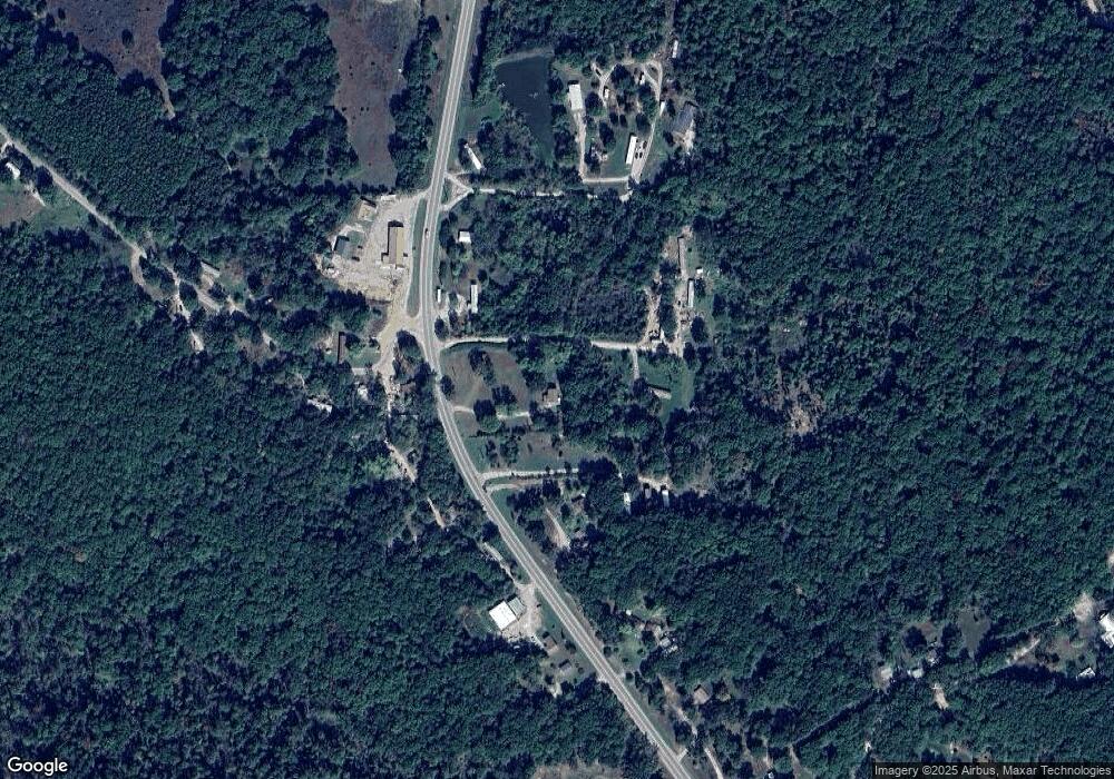
Map
Nearby Homes
- Tract 1 Dusty Rd
- 0 Cyclone Rd
- 0 Foxtrot Rd
- 10270 Skyline Dr
- 10248 Keyes Branch Rd
- 0 State Highway F Unit MIS25069736
- 30 Acres Hwy E
- 13085 E State Hwy E
- 10179 Cherry Hill Ln
- 20 Acres Hwy E
- 50 Acres Hwy E
- 130 Acres Hwy E
- 10012 Yellowstone Dr
- 10014 Yellowstone Dr
- 10054 Yellowstone Dr
- 10056 Yellowstone Dr
- 705 Bonnie St
- 1101 Richeson Rd
- 610 Coleman Ave
- 507 Coleman Ave
- 14114 N State Highway 21
- 14064 N State Highway 21
- 14216 Missouri 21
- 14005 N State Highway 21
- 0 Swallow Rd Unit 18057016
- 0 Swallow Rd Unit 19005877
- 10249 Simpson Rd
- 13896 N State Highway 21
- 10047 Shepard Rd
- 10161 Swallow Rd
- 13729 N State Highway 21
- 12902 E State Highway 47
- 10364 Shepard Rd
- 10460 Skyline Dr
- 10555 Simpson Rd
- 13635 N State Highway 21
- 10419 Goldenrod Rd
- 10020 Wild Rose Rd
- 14682 N State Highway 21
- 0 Goldenrod Rd Unit 17086913