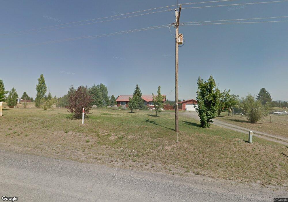
14116 W Deno Rd Spokane, WA 99224
Estimated Value: $472,000 - $645,826
5
Beds
3
Baths
3,360
Sq Ft
$177/Sq Ft
Est. Value
About This Home
This home is located at 14116 W Deno Rd, Spokane, WA 99224 and is currently estimated at $593,457, approximately $176 per square foot. 14116 W Deno Rd is a home located in Spokane County with nearby schools including Sunset Elementary School, Cheney Middle School, and Cheney High School.
Ownership History
Date
Name
Owned For
Owner Type
Purchase Details
Closed on
Oct 25, 2007
Sold by
Stowell Howard M and Stowell Shari
Bought by
Peters Timothy A M and Peters Anice R
Current Estimated Value
Home Financials for this Owner
Home Financials are based on the most recent Mortgage that was taken out on this home.
Original Mortgage
$188,800
Outstanding Balance
$118,899
Interest Rate
6.29%
Mortgage Type
Purchase Money Mortgage
Estimated Equity
$474,558
Purchase Details
Closed on
Mar 17, 2004
Sold by
Brewer Sherron L
Bought by
Stowell Howard M and Stowell Sherri
Home Financials for this Owner
Home Financials are based on the most recent Mortgage that was taken out on this home.
Original Mortgage
$120,000
Interest Rate
5.69%
Mortgage Type
Purchase Money Mortgage
Create a Home Valuation Report for This Property
The Home Valuation Report is an in-depth analysis detailing your home's value as well as a comparison with similar homes in the area
Home Values in the Area
Average Home Value in this Area
Purchase History
| Date | Buyer | Sale Price | Title Company |
|---|---|---|---|
| Peters Timothy A M | $236,000 | Stewart Title Of Spokane | |
| Stowell Howard M | $163,500 | Pacific Nw Title |
Source: Public Records
Mortgage History
| Date | Status | Borrower | Loan Amount |
|---|---|---|---|
| Open | Peters Timothy A M | $188,800 | |
| Previous Owner | Stowell Howard M | $120,000 |
Source: Public Records
Tax History Compared to Growth
Tax History
| Year | Tax Paid | Tax Assessment Tax Assessment Total Assessment is a certain percentage of the fair market value that is determined by local assessors to be the total taxable value of land and additions on the property. | Land | Improvement |
|---|---|---|---|---|
| 2025 | $4,862 | $504,360 | $105,460 | $398,900 |
| 2024 | $4,862 | $481,460 | $105,460 | $376,000 |
| 2023 | $4,247 | $517,600 | $151,600 | $366,000 |
| 2022 | $4,331 | $504,160 | $124,860 | $379,300 |
| 2021 | $3,819 | $330,780 | $56,380 | $274,400 |
| 2020 | $3,704 | $306,880 | $56,380 | $250,500 |
| 2019 | $3,061 | $264,460 | $49,160 | $215,300 |
| 2018 | $3,282 | $244,250 | $44,850 | $199,400 |
| 2017 | $2,867 | $234,450 | $44,850 | $189,600 |
| 2016 | $2,832 | $223,850 | $44,850 | $179,000 |
| 2015 | $2,854 | $216,760 | $43,360 | $173,400 |
| 2014 | -- | $216,460 | $43,360 | $173,100 |
| 2013 | -- | $0 | $0 | $0 |
Source: Public Records
Map
Nearby Homes
- 2201 N Craig Rd Unit Lot 260
- 2201 N Craig Rd Unit Lot 131
- TBD W Craig Rd
- 00XX Rambo Lot A Rd Unit Lot A
- 00XX W Deno Lot 3 Rd Unit Lot 3
- 00XX N Rambo Lot 5 Rd Unit Lot 5
- 00XX N Rambo Lot 4 Rd Unit Lot 4
- 13546 W Crosswinds Ave
- 13546 Crosswinds Ave
- 13540 Crosswinds Ave
- 13540 W Crosswinds Ave
- Camelot Plan at Hunters Crossing
- Sherwood Plan at Hunters Crossing
- Cali Plan at Hunters Crossing
- Sierra Plan at Hunters Crossing
- KERRY Plan at Hunters Crossing
- 86 S Airlift St
- 13552 W 1st Ave
- 13432 W 1st Ave
- 62 S Airlift St
- 14212 W Deno Rd
- 14002 W Deno Rd
- 1700 N Craig Rd
- 1608 N Craig Rd
- 14411 W Deno Rd
- 14709 W Deno Rd
- 14121 W Deno Rd
- 14303 W Deno Rd
- 14505 W Deno Rd
- 14617 W Deno Rd
- 1909 N Craig Rd
- 1323 N Craig Rd
- 1802 N Craig Rd
- 2103 N Craig Rd
- TBD N Craig Rd
- 2212 N Craig Rd
- 2133 N Craig Rd
- 2155 N Craig Rd
- 2232 N Craig Rd
- 2139 N Craig