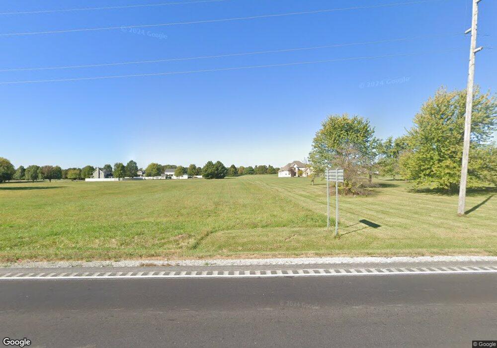
14118 M 7 Hwy Greenwood, MO 64034
Estimated Value: $598,000 - $926,000
4
Beds
4
Baths
3,344
Sq Ft
$226/Sq Ft
Est. Value
About This Home
This home is located at 14118 M 7 Hwy, Greenwood, MO 64034 and is currently estimated at $754,219, approximately $225 per square foot. 14118 M 7 Hwy is a home with nearby schools including Woodland Elementary School, Pleasant Lea Middle School, and Lee's Summit Senior High School.
Ownership History
Date
Name
Owned For
Owner Type
Purchase Details
Closed on
Mar 30, 2001
Sold by
Scofield Ralph M and Scofield Marjlelee E
Bought by
Brigman Mark C and Brigman Lorie J
Current Estimated Value
Home Financials for this Owner
Home Financials are based on the most recent Mortgage that was taken out on this home.
Original Mortgage
$43,650
Interest Rate
7.13%
Mortgage Type
Seller Take Back
Create a Home Valuation Report for This Property
The Home Valuation Report is an in-depth analysis detailing your home's value as well as a comparison with similar homes in the area
Home Values in the Area
Average Home Value in this Area
Purchase History
| Date | Buyer | Sale Price | Title Company |
|---|---|---|---|
| Brigman Mark C | -- | Chicago Title Co |
Source: Public Records
Mortgage History
| Date | Status | Borrower | Loan Amount |
|---|---|---|---|
| Closed | Brigman Mark C | $43,650 |
Source: Public Records
Tax History Compared to Growth
Tax History
| Year | Tax Paid | Tax Assessment Tax Assessment Total Assessment is a certain percentage of the fair market value that is determined by local assessors to be the total taxable value of land and additions on the property. | Land | Improvement |
|---|---|---|---|---|
| 2025 | $6,799 | $112,155 | $19,034 | $93,121 |
| 2024 | $6,730 | $97,527 | $24,122 | $73,405 |
| 2023 | $6,730 | $97,528 | $20,758 | $76,770 |
| 2022 | $6,735 | $85,880 | $10,650 | $75,230 |
| 2021 | $6,441 | $85,880 | $10,650 | $75,230 |
| 2020 | $6,365 | $93,273 | $10,650 | $82,623 |
| 2019 | $7,101 | $93,273 | $10,650 | $82,623 |
| 2018 | $5,765 | $70,336 | $13,029 | $57,307 |
| 2017 | $5,765 | $70,336 | $13,029 | $57,307 |
| 2016 | $5,673 | $68,574 | $8,882 | $59,692 |
| 2014 | $5,800 | $68,574 | $8,882 | $59,692 |
Source: Public Records
Map
Nearby Homes
- 805 E Outer Belt Rd
- 27506 Oakhaven Dr
- The Breckenridge Plan at Lake Winnebago
- Regal Plan at Lake Winnebago
- Mariah Plan at Lake Winnebago
- The Laguna 2 Plan at Lake Winnebago
- Bristol Plan at Lake Winnebago
- The Santa Rosa Plan at Lake Winnebago
- Regency Plan at Lake Winnebago
- Destiny Plan at Lake Winnebago
- Mariner Plan at Lake Winnebago
- Oakshire Plan at Lake Winnebago
- The Santa Barbara Plan at Lake Winnebago
- Modern Gunnison Plan at Lake Winnebago
- The Delray Plan at Lake Winnebago
- The Laguna 1.5 Story Plan at Lake Winnebago
- Windsong Plan at Lake Winnebago
- Modern Maplewood III Plan at Lake Winnebago
- Oakleigh Plan at Lake Winnebago
- The Riviera II Plan at Lake Winnebago
- 27404 E Outer Belt Rd
- 14104 M 7 Hwy
- 27306 E Outer Belt Rd
- 33208 E Outer Belt Rd
- 33508 E Outer Belt Rd
- 32204 E Outer Belt Rd
- 27208 E Outer Belt Rd
- 27102 E Outer Belt Rd
- 27106 E Outer Belt Rd
- 27102 E 150 Hwy
- 27200 E Outer Belt Rd
- 27002 E 150 Hwy
- 13912 State Route 7
- 26908 E Outer Belt Rd
- 14506 Missouri 150
- 26806 E Outer Belt Rd
- 13714 State Route 7
- 13816 State Route 7
- 14515 State Route 7
- 14603 State Route 7
