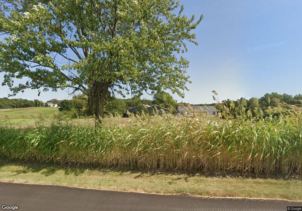
14118 State Highway Y La Belle, MO 63447
Estimated Value: $88,000 - $91,000
2
Beds
1
Bath
942
Sq Ft
$95/Sq Ft
Est. Value
About This Home
This home is located at 14118 State Highway Y, La Belle, MO 63447 and is currently estimated at $89,500, approximately $95 per square foot. 14118 State Highway Y is a home located in Lewis County with nearby schools including Highland Elementary School and Highland Junior/Senior High School.
Ownership History
Date
Name
Owned For
Owner Type
Purchase Details
Closed on
May 13, 2022
Sold by
Jones Gregory A and Jones Cynthia A
Bought by
Simmons Cecil R and Simmons Diana D
Current Estimated Value
Home Financials for this Owner
Home Financials are based on the most recent Mortgage that was taken out on this home.
Original Mortgage
$59,131
Outstanding Balance
$56,198
Interest Rate
5.3%
Mortgage Type
Credit Line Revolving
Estimated Equity
$33,302
Purchase Details
Closed on
Nov 27, 2010
Sold by
Gaultney John and Gaultney Janel
Bought by
Austin Dwayne and Austin Tonya S
Create a Home Valuation Report for This Property
The Home Valuation Report is an in-depth analysis detailing your home's value as well as a comparison with similar homes in the area
Home Values in the Area
Average Home Value in this Area
Purchase History
| Date | Buyer | Sale Price | Title Company |
|---|---|---|---|
| Simmons Cecil R | -- | None Listed On Document | |
| Austin Dwayne | -- | -- |
Source: Public Records
Mortgage History
| Date | Status | Borrower | Loan Amount |
|---|---|---|---|
| Open | Simmons Cecil R | $59,131 |
Source: Public Records
Tax History Compared to Growth
Tax History
| Year | Tax Paid | Tax Assessment Tax Assessment Total Assessment is a certain percentage of the fair market value that is determined by local assessors to be the total taxable value of land and additions on the property. | Land | Improvement |
|---|---|---|---|---|
| 2024 | $318 | $5,180 | $1,200 | $3,980 |
| 2023 | $317 | $5,180 | $1,200 | $3,980 |
| 2022 | $348 | $5,180 | $0 | $0 |
| 2021 | $347 | $5,690 | $0 | $0 |
| 2020 | $350 | $5,690 | $0 | $0 |
| 2019 | $309 | $5,690 | $0 | $0 |
| 2018 | $308 | $5,710 | $1,220 | $4,490 |
| 2017 | $290 | $5,710 | $1,220 | $4,490 |
| 2016 | $300 | $5,710 | $1,220 | $4,490 |
| 2015 | -- | $5,710 | $1,220 | $4,490 |
| 2013 | -- | $5,680 | $0 | $0 |
Source: Public Records
Map
Nearby Homes
- 13807 Boxwood St
- Tbd Boxwood St
- 12941 State Highway K
- County Road 206 and 334 Unit LotWP001
- 202 Lincoln St
- 423 State St
- 000 County Road 206
- 0 145th Ave Unit MAR25027403
- 0 145th Ave Unit MAR25009349
- 0 State Highway Y
- 19613 State Highway Y
- 0 212th St
- 0 State Highway H
- 102 W Quincy St
- 18218 Highway D
- 0 S Maple St
- 201 Main St
- 000 County Road 256
- 406 S Cherry St
- 59411 Seymour Rd
- 14118 State Hwy Y
- 13592 State Highway Y
- 0 County Road 374 Unit 23056798
- 0 County Road 374 Unit 23056362
- 0 Boxwood St Unit MRD12251496
- 0 Boxwood St Unit 22053631
- 12619 135th Ave
- 12749 135th Ave
- 12785 135th Ave
- 12693 135th Ave
- 12982 State Highway Y
- 0 Aspen (Co Rd 389) St
- 000 Highway Y
- 15 Acres Boxwood St
- TBD County Road 374
