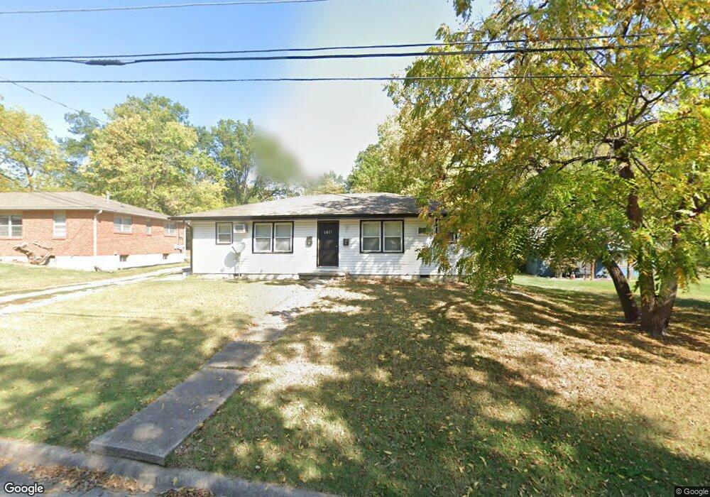
1411B Lowe St Columbia, MO 65203
Estimated Value: $179,000 - $220,000
1
Bed
1
Bath
1,232
Sq Ft
$163/Sq Ft
Est. Value
About This Home
This home is located at 1411B Lowe St, Columbia, MO 65203 and is currently estimated at $200,616, approximately $162 per square foot. 1411B Lowe St is a home located in Boone County with nearby schools including West Boulevard Elementary School, West Middle School, and David H. Hickman High School.
Ownership History
Date
Name
Owned For
Owner Type
Purchase Details
Closed on
Dec 18, 2013
Sold by
Covington Matthew J
Bought by
Schneeberger Claire and Salesin Joshua
Current Estimated Value
Purchase Details
Closed on
Jun 29, 2007
Sold by
Ousley Helen M
Bought by
Huggans Michae J and Huggans Christy M
Home Financials for this Owner
Home Financials are based on the most recent Mortgage that was taken out on this home.
Original Mortgage
$51,120
Interest Rate
6.19%
Mortgage Type
New Conventional
Purchase Details
Closed on
Feb 17, 2006
Sold by
Huggans Michael J and Huggans Christy M
Bought by
Graff Construction Llc
Home Financials for this Owner
Home Financials are based on the most recent Mortgage that was taken out on this home.
Original Mortgage
$190,000
Interest Rate
6.05%
Mortgage Type
Future Advance Clause Open End Mortgage
Create a Home Valuation Report for This Property
The Home Valuation Report is an in-depth analysis detailing your home's value as well as a comparison with similar homes in the area
Purchase History
| Date | Buyer | Sale Price | Title Company |
|---|---|---|---|
| Schneeberger Claire | -- | Boone Central Title Company | |
| Huggans Michae J | -- | None Available | |
| Huggans Michael J | -- | None Available | |
| Graff Construction Llc | -- | None Available |
Source: Public Records
Mortgage History
| Date | Status | Borrower | Loan Amount |
|---|---|---|---|
| Previous Owner | Huggans Michael J | $51,120 | |
| Previous Owner | Graff Construction Llc | $190,000 |
Source: Public Records
Tax History
| Year | Tax Paid | Tax Assessment Tax Assessment Total Assessment is a certain percentage of the fair market value that is determined by local assessors to be the total taxable value of land and additions on the property. | Land | Improvement |
|---|---|---|---|---|
| 2025 | $1,133 | $17,309 | $3,382 | $13,927 |
| 2024 | $1,061 | $15,732 | $3,382 | $12,350 |
| 2023 | $1,053 | $15,732 | $3,382 | $12,350 |
| 2022 | $974 | $14,573 | $3,382 | $11,191 |
| 2021 | $976 | $14,573 | $3,382 | $11,191 |
| 2020 | $927 | $13,009 | $3,382 | $9,627 |
| 2019 | $927 | $13,009 | $3,382 | $9,627 |
| 2018 | $864 | $0 | $0 | $0 |
| 2017 | $854 | $12,046 | $3,382 | $8,664 |
| 2016 | $877 | $12,046 | $3,382 | $8,664 |
| 2015 | $809 | $12,046 | $3,382 | $8,664 |
| 2014 | $813 | $12,046 | $3,382 | $8,664 |
Source: Public Records
Map
Nearby Homes
- 400 Auburn Ln
- 1308 W Worley St
- 1308 Hunt Ct
- 1210 Squirewood Way
- 1303 London Dr
- 807 Clinkscales Rd
- 105 Westridge Dr
- 1109 Sunset Ln
- 807 Hope Place
- 122 N Greenwood Ave
- 302 Westridge Dr
- 708 Donnelly Ave
- 605 Donnelly Ave
- 800 Ridgeway Ave
- 501 Westridge Dr
- 506 W Worley St
- 1108 W Stewart Rd
- 304 Fredora Ave
- 405 Alexander Ave
- 307 Bourn Ave
Your Personal Tour Guide
Ask me questions while you tour the home.