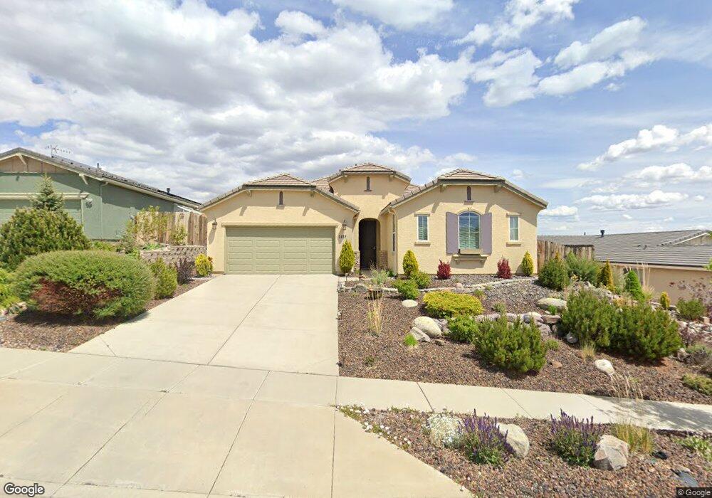
1412 Hogadon Way Reno, NV 89523
Mae Anne Avenue NeighborhoodEstimated Value: $634,000 - $813,000
3
Beds
2
Baths
1,767
Sq Ft
$390/Sq Ft
Est. Value
About This Home
This home is located at 1412 Hogadon Way, Reno, NV 89523 and is currently estimated at $689,537, approximately $390 per square foot. 1412 Hogadon Way is a home with nearby schools including Sarah Winnemucca Elementary School, B D Billinghurst Middle School, and Robert McQueen High School.
Ownership History
Date
Name
Owned For
Owner Type
Purchase Details
Closed on
Oct 15, 2015
Sold by
Kenedy Diane Marie
Bought by
Kenedy Diane M and Diane Kenedy Trust
Current Estimated Value
Purchase Details
Closed on
Apr 5, 2012
Sold by
Kenedy Frank
Bought by
Kenedy Diane Marie
Purchase Details
Closed on
Feb 8, 2012
Sold by
Estancia Reno Llc
Bought by
Kenedy Frank
Purchase Details
Closed on
Oct 8, 2009
Sold by
Estancia West Llc
Bought by
Estancia Reno Llc
Create a Home Valuation Report for This Property
The Home Valuation Report is an in-depth analysis detailing your home's value as well as a comparison with similar homes in the area
Home Values in the Area
Average Home Value in this Area
Purchase History
| Date | Buyer | Sale Price | Title Company |
|---|---|---|---|
| Kenedy Diane M | -- | None Available | |
| Kenedy Diane Marie | -- | None Available | |
| Kenedy Frank | $248,000 | First American Title Sparks | |
| Estancia Reno Llc | -- | First Amer Title Howard Hugh | |
| Estancia West Llc | -- | First Amer Title Howard Hugh |
Source: Public Records
Tax History Compared to Growth
Tax History
| Year | Tax Paid | Tax Assessment Tax Assessment Total Assessment is a certain percentage of the fair market value that is determined by local assessors to be the total taxable value of land and additions on the property. | Land | Improvement |
|---|---|---|---|---|
| 2025 | $3,816 | $135,570 | $41,090 | $94,480 |
| 2024 | $3,705 | $131,039 | $37,345 | $93,694 |
| 2023 | $3,705 | $128,387 | $40,010 | $88,377 |
| 2022 | $3,597 | $106,090 | $32,795 | $73,295 |
| 2021 | $3,493 | $105,599 | $32,795 | $72,804 |
| 2020 | $3,389 | $104,320 | $31,640 | $72,680 |
| 2019 | $3,290 | $100,641 | $31,360 | $69,281 |
| 2018 | $3,195 | $90,274 | $22,820 | $67,454 |
| 2017 | $3,104 | $87,738 | $20,440 | $67,298 |
| 2016 | $3,024 | $87,603 | $19,040 | $68,563 |
| 2015 | $3,018 | $84,894 | $16,870 | $68,024 |
| 2014 | $2,926 | $80,866 | $15,680 | $65,186 |
| 2013 | -- | $77,467 | $13,510 | $63,957 |
Source: Public Records
Map
Nearby Homes
- 1705 Sierra Highlands Dr
- 0 Simons Dr
- 1255 Silver Crest Cir
- 1500 Backer Way
- 1708 Kristin Way
- 5830 Blue Horizon Dr
- 1659 Shadow Park Dr
- 1689 Shadow Park Dr
- 5870 Blue Horizon Dr
- 5895 Blue Horizon Dr
- 3271 Heights Dr
- 1627 Prancer St Unit Lot 50
- 1627 Prancer St
- 1615 Prancer St Unit Lot 53
- 5849 Morgan Horse St
- Walker Plan at Monarch
- Humboldt Plan at Monarch
- 5882 Grand Row Way Unit Lot 61
- 1639 Prancer St Unit Lot 47
- 5878 Grand Row Way
- 1418 Hogadon Way
- 1406 Hogadon Way
- 1424 Hogadon Way
- 1413 Bluewood Dr
- 1400 Hogadon Way
- 1407 Bluewood Dr
- 1425 Hogadon Way
- 1413 Hogadon Way
- 1419 Bluewood Dr
- 1419 Hogadon Way
- 1407 Hogadon Way
- 1401 Bluewood Dr
- 1425 Bluewood Dr
- 1430 Hogadon Way
- 1401 Hogadon Way
- 1431 Bluewood Dr
- 1431 Hogadon Way
- 5240 Eaglecrest Dr
- 1418 Snow Summit Dr
- 5250 Eaglecrest Dr