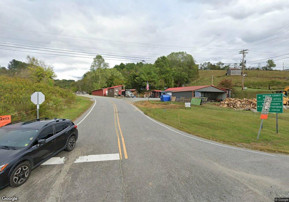
1412 Nc 213 Hwy Marshall, NC 28753
Estimated Value: $386,000
--
Bed
--
Bath
1,308
Sq Ft
$295/Sq Ft
Est. Value
About This Home
This home is located at 1412 Nc 213 Hwy, Marshall, NC 28753 and is currently priced at $386,000, approximately $295 per square foot. 1412 Nc 213 Hwy is a home located in Madison County with nearby schools including Madison Middle School.
Ownership History
Date
Name
Owned For
Owner Type
Purchase Details
Closed on
Aug 22, 2022
Sold by
Metcalf Dill Edna J
Bought by
Yeakley Matthew Martin and Yeakley Morgen May
Current Estimated Value
Home Financials for this Owner
Home Financials are based on the most recent Mortgage that was taken out on this home.
Original Mortgage
$255,000
Outstanding Balance
$243,793
Interest Rate
5.51%
Mortgage Type
Balloon
Purchase Details
Closed on
Jan 27, 2016
Sold by
Dill Edna and Dill Edna Metcalf
Bought by
Dill Edna and Dill Eddie
Create a Home Valuation Report for This Property
The Home Valuation Report is an in-depth analysis detailing your home's value as well as a comparison with similar homes in the area
Home Values in the Area
Average Home Value in this Area
Purchase History
| Date | Buyer | Sale Price | Title Company |
|---|---|---|---|
| Yeakley Matthew Martin | $350,000 | Edmonds & Matthews Pllc | |
| Metes & Bounds Llc | $30,000 | Edmonds & Matthews Pllc | |
| Dill Edna | -- | None Available |
Source: Public Records
Mortgage History
| Date | Status | Borrower | Loan Amount |
|---|---|---|---|
| Open | Yeakley Matthew Martin | $255,000 |
Source: Public Records
Tax History Compared to Growth
Tax History
| Year | Tax Paid | Tax Assessment Tax Assessment Total Assessment is a certain percentage of the fair market value that is determined by local assessors to be the total taxable value of land and additions on the property. | Land | Improvement |
|---|---|---|---|---|
| 2022 | $0 | $239,819 | $126,411 | $113,408 |
| 2021 | $1,379 | $239,819 | $126,411 | $113,408 |
| 2020 | $1,379 | $239,819 | $126,411 | $113,408 |
| 2019 | $836 | $159,251 | $100,375 | $58,876 |
| 2018 | $828 | $0 | $0 | $0 |
| 2017 | $1,608 | $0 | $0 | $0 |
| 2016 | $1,608 | $0 | $0 | $0 |
| 2015 | -- | $0 | $0 | $0 |
| 2014 | -- | $159,251 | $100,375 | $58,876 |
| 2013 | -- | $162,981 | $100,375 | $62,606 |
Source: Public Records
Map
Nearby Homes
- 461 Tweed Rd
- Lot 2 Lunsford Ln
- ### N Long Branch Rd Unit 2
- 0 Anderson Cove Rd
- 730 Silver Mill Rd
- 153 Skyway Dr
- 1395 Tillery Branch Rd
- 2200 Walnut Creek Rd
- 1126 Rector Corner Rd
- 456 Rector Corner Rd
- 366 Cabin Hollow Dr
- 849 S Ammons Branch Rd
- 55 Webb Dr
- 1542 Tillery Branch Rd
- 55 & 119 Webb Dr
- 2912 Windswept Ridge Rd
- 1623 Ammons Branch Rd
- 999 Baileys Branch Rd Unit 3
- 1927 Ammons Branch Rd
- 200 Dry Branch Rd
- 76 Medical Park Dr
- 1410 Nc 213 Hwy
- 999 Medical Park Dr
- 1406 Nc 213 Hwy
- 1406 Nc 213 Hwy
- 1414 Nc 213 Hwy
- 63 Gentry Ln
- 0000 Hwy 213
- 000 Hwy 213
- 00 Hwy 213
- 1606 Nc 213 Hwy
- 00 Us Highway 25 70
- 1571 Nc Hwy 213 Rd
- 1571 Nc 213 Hwy
- 1251 Hayes Run Rd
- 4386 Us 25/70 Hwy
- 1210 Hayes Run Rd
- 1202 Hayes Run Rd
- 1185 Hayes Run Rd
- 34 Buckeye Ridge