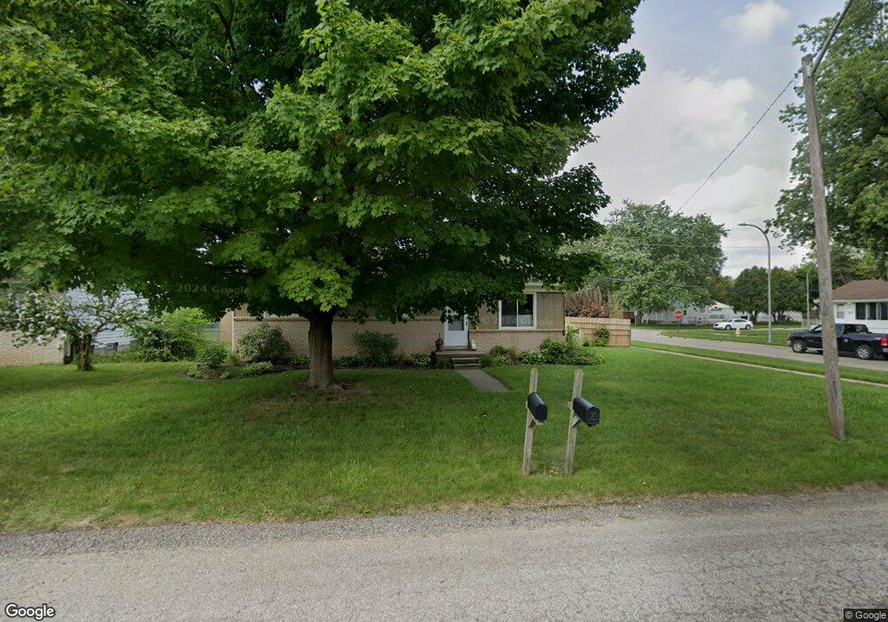
1412 Norris St Westland, MI 48186
Estimated Value: $191,000 - $205,130
--
Bed
1
Bath
1,008
Sq Ft
$197/Sq Ft
Est. Value
About This Home
This home is located at 1412 Norris St, Westland, MI 48186 and is currently estimated at $198,283, approximately $196 per square foot. 1412 Norris St is a home located in Wayne County with nearby schools including Eugene B. Elliott Elementary School, Adams Middle School, and Benjamin Franklin Middle School.
Ownership History
Date
Name
Owned For
Owner Type
Purchase Details
Closed on
Jan 31, 2005
Sold by
Bone Michael L and Dest Patricia A
Bought by
Dest Patricia A
Current Estimated Value
Home Financials for this Owner
Home Financials are based on the most recent Mortgage that was taken out on this home.
Original Mortgage
$90,800
Interest Rate
5.83%
Mortgage Type
Purchase Money Mortgage
Create a Home Valuation Report for This Property
The Home Valuation Report is an in-depth analysis detailing your home's value as well as a comparison with similar homes in the area
Home Values in the Area
Average Home Value in this Area
Purchase History
| Date | Buyer | Sale Price | Title Company |
|---|---|---|---|
| Dest Patricia A | -- | Multiple | |
| Beaty Debra J | $113,500 | Multiple |
Source: Public Records
Mortgage History
| Date | Status | Borrower | Loan Amount |
|---|---|---|---|
| Previous Owner | Dest Patricia A | $90,800 |
Source: Public Records
Tax History Compared to Growth
Tax History
| Year | Tax Paid | Tax Assessment Tax Assessment Total Assessment is a certain percentage of the fair market value that is determined by local assessors to be the total taxable value of land and additions on the property. | Land | Improvement |
|---|---|---|---|---|
| 2025 | $1,538 | $104,800 | $0 | $0 |
| 2024 | $1,538 | $87,200 | $0 | $0 |
| 2023 | $1,468 | $80,800 | $0 | $0 |
| 2022 | $1,739 | $75,000 | $0 | $0 |
| 2021 | $1,695 | $72,300 | $0 | $0 |
| 2020 | $1,676 | $60,100 | $0 | $0 |
| 2019 | $1,616 | $51,700 | $0 | $0 |
| 2018 | $1,208 | $45,500 | $0 | $0 |
| 2017 | $624 | $43,700 | $0 | $0 |
| 2016 | $1,568 | $44,100 | $0 | $0 |
| 2015 | $2,990 | $30,350 | $0 | $0 |
| 2013 | $3,217 | $33,330 | $0 | $0 |
| 2012 | $1,621 | $33,090 | $0 | $0 |
Source: Public Records
Map
Nearby Homes
- 32154 Melton St
- 32155 Melton St
- 1682 Beatrice St
- 31606 Fairchild St
- 32116 Palmer Rd
- 32140 Palmer Rd
- 31842 Bay Ct
- 32046 Cheboygan Ct
- 32025 Birchwood St
- 32111 Birchwood Ave
- 31923 Calhoun Ct
- 31820 Bay Ct
- 32411 Grandview Ave
- 32508 Avondale St
- 30828 Parkwood St
- 31784 Arenac Ct
- 30805 Parkwood St
- 32332 Kalamazoo Ct
- 30779 Middlebury St
- 32732 Glen St
- 1424 Norris St
- 32007 Parkwood St
- 1436 Norris St
- 32019 Parkwood St
- 31820 Parkwood St
- 1437 Gloria St
- 31810 Parkwood St
- 31800 Parkwood St
- 1411 Norris St
- 1446 Norris St Unit Bldg-Unit
- 1431 Norris St
- 1449 Gloria St
- 32020 Parkwood St
- 31750 Parkwood St
- 1441 Norris St
- 1457 Gloria St
- 32032 Parkwood St
- 1468 Norris St
- 31740 Parkwood St
- 32053 Parkwood St