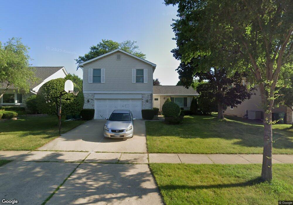
1412 Rose Blvd Buffalo Grove, IL 60089
South Buffalo Grove NeighborhoodEstimated Value: $565,250 - $648,000
4
Beds
3
Baths
2,136
Sq Ft
$290/Sq Ft
Est. Value
About This Home
This home is located at 1412 Rose Blvd, Buffalo Grove, IL 60089 and is currently estimated at $618,813, approximately $289 per square foot. 1412 Rose Blvd is a home located in Cook County with nearby schools including Henry W Longfellow Elementary School, Cooper Middle School, and Buffalo Grove High School.
Ownership History
Date
Name
Owned For
Owner Type
Purchase Details
Closed on
Mar 28, 1997
Sold by
Arenson Mark A and Arenson Linda S
Bought by
Huynh Nam H
Current Estimated Value
Home Financials for this Owner
Home Financials are based on the most recent Mortgage that was taken out on this home.
Original Mortgage
$204,800
Outstanding Balance
$26,132
Interest Rate
7.74%
Estimated Equity
$592,681
Create a Home Valuation Report for This Property
The Home Valuation Report is an in-depth analysis detailing your home's value as well as a comparison with similar homes in the area
Home Values in the Area
Average Home Value in this Area
Purchase History
| Date | Buyer | Sale Price | Title Company |
|---|---|---|---|
| Huynh Nam H | $256,000 | -- |
Source: Public Records
Mortgage History
| Date | Status | Borrower | Loan Amount |
|---|---|---|---|
| Open | Huynh Nam H | $204,800 |
Source: Public Records
Tax History Compared to Growth
Tax History
| Year | Tax Paid | Tax Assessment Tax Assessment Total Assessment is a certain percentage of the fair market value that is determined by local assessors to be the total taxable value of land and additions on the property. | Land | Improvement |
|---|---|---|---|---|
| 2024 | $11,182 | $36,466 | $8,121 | $28,345 |
| 2023 | $10,725 | $38,252 | $8,121 | $30,131 |
| 2022 | $10,725 | $38,252 | $8,121 | $30,131 |
| 2021 | $10,757 | $33,779 | $4,614 | $29,165 |
| 2020 | $10,547 | $33,779 | $4,614 | $29,165 |
| 2019 | $10,598 | $37,658 | $4,614 | $33,044 |
| 2018 | $10,234 | $33,152 | $4,060 | $29,092 |
| 2017 | $10,066 | $33,152 | $4,060 | $29,092 |
| 2016 | $9,628 | $33,152 | $4,060 | $29,092 |
| 2015 | $9,682 | $31,124 | $3,506 | $27,618 |
| 2014 | $10,083 | $32,748 | $3,506 | $29,242 |
| 2013 | $9,302 | $32,748 | $3,506 | $29,242 |
Source: Public Records
Map
Nearby Homes
- 476 W Happfield Dr Unit 10AL
- 715 W Happfield Dr
- 715 W Whiting Ln
- 751 W Happfield Dr Unit 30
- 812 W Whiting Ln
- 811 W Nichols Rd
- 705 Grove Dr Unit 101
- 921 Bernard Dr
- 720 Weidner Rd Unit 302
- 6 Villa Verde Dr Unit 103
- 859 Beechwood Rd
- 571 Estate Dr
- 813 Stradford Cir Unit 21B2
- 1631 W Partridge Ct Unit 8
- 535 Estate Dr
- 410 Chatham Cir
- 4210 N Mallard Dr Unit 4
- 820 Weidner Rd Unit 4013
- 820 Weidner Rd Unit 409
- 18 E Heritage Ct