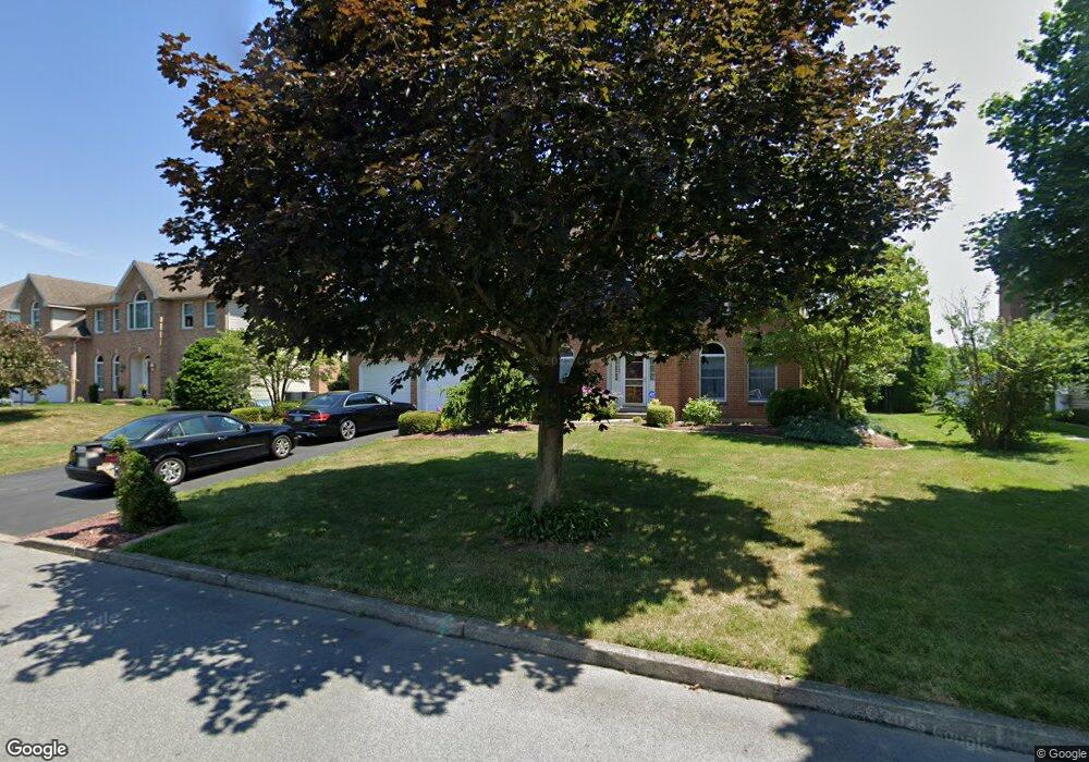
1412 Stark Rd Bethlehem, PA 18017
Estimated Value: $585,000 - $615,912
4
Beds
3
Baths
3,033
Sq Ft
$198/Sq Ft
Est. Value
About This Home
This home is located at 1412 Stark Rd, Bethlehem, PA 18017 and is currently estimated at $599,228, approximately $197 per square foot. 1412 Stark Rd is a home located in Northampton County with nearby schools including Hanover Elementary School, Nitschmann Middle School, and Liberty High School.
Ownership History
Date
Name
Owned For
Owner Type
Purchase Details
Closed on
Aug 14, 2025
Sold by
Piekarski Jolanta T and Piekarski Walter
Bought by
Piekarski Family Revocable Agreement Of Trust and Piekarski
Current Estimated Value
Purchase Details
Closed on
Mar 1, 1995
Bought by
Piekarski Jolanta T and Piekarski Walter
Purchase Details
Closed on
Jun 1, 1994
Bought by
Not Provided
Create a Home Valuation Report for This Property
The Home Valuation Report is an in-depth analysis detailing your home's value as well as a comparison with similar homes in the area
Home Values in the Area
Average Home Value in this Area
Purchase History
| Date | Buyer | Sale Price | Title Company |
|---|---|---|---|
| Piekarski Family Revocable Agreement Of Trust | -- | None Listed On Document | |
| Piekarski Family Revocable Agreement Of Trust | -- | None Listed On Document | |
| Piekarski Jolanta T | $230,000 | -- | |
| Not Provided | $60,000 | -- |
Source: Public Records
Tax History Compared to Growth
Tax History
| Year | Tax Paid | Tax Assessment Tax Assessment Total Assessment is a certain percentage of the fair market value that is determined by local assessors to be the total taxable value of land and additions on the property. | Land | Improvement |
|---|---|---|---|---|
| 2025 | $1,116 | $103,300 | $23,200 | $80,100 |
| 2024 | $7,531 | $103,300 | $23,200 | $80,100 |
| 2023 | $7,556 | $103,300 | $23,200 | $80,100 |
| 2022 | $7,485 | $103,300 | $23,200 | $80,100 |
| 2021 | $7,424 | $103,300 | $23,200 | $80,100 |
| 2020 | $7,433 | $103,300 | $23,200 | $80,100 |
| 2019 | $7,404 | $103,300 | $23,200 | $80,100 |
| 2018 | $7,257 | $103,300 | $23,200 | $80,100 |
| 2017 | $7,205 | $103,300 | $23,200 | $80,100 |
| 2016 | -- | $103,300 | $23,200 | $80,100 |
| 2015 | -- | $103,300 | $23,200 | $80,100 |
| 2014 | -- | $103,300 | $23,200 | $80,100 |
Source: Public Records
Map
Nearby Homes
- 1225 Brentwood Ave
- 3760 Jacksonville Rd
- 4064 Autumn Ridge Rd
- 1560 Stafore Dr
- 4110 Greenfield Rd
- 4410 Greenfield Rd
- 1560 Chaucer Ln
- 4621 Maryann Ln
- 1410 Stoke Park Rd
- 3474 Lord Byron Dr
- 4940 Matts Dr
- 4439 Loraine Ln
- 1434 Colgate Dr
- 809 Overlook Dr
- 4204 Maria Ln
- 6075 Airport Rd
- 6172 Airport Rd
- 1179 Blair Rd
- 922 Wedgewood Rd
- 1215 W MacAda Rd