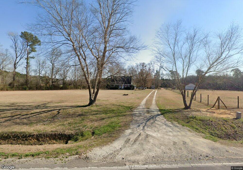
14125 Nc Hwy 53 W Atkinson, NC 28421
Estimated Value: $245,567 - $305,000
3
Beds
2
Baths
1,569
Sq Ft
$177/Sq Ft
Est. Value
About This Home
This home is located at 14125 Nc Hwy 53 W, Atkinson, NC 28421 and is currently estimated at $277,142, approximately $176 per square foot. 14125 Nc Hwy 53 W is a home with nearby schools including Malpass Corner Elementary School, West Pender Middle School, and Pender High School.
Ownership History
Date
Name
Owned For
Owner Type
Purchase Details
Closed on
Apr 1, 1997
Bought by
Key Jeffery Luther
Current Estimated Value
Create a Home Valuation Report for This Property
The Home Valuation Report is an in-depth analysis detailing your home's value as well as a comparison with similar homes in the area
Home Values in the Area
Average Home Value in this Area
Purchase History
| Date | Buyer | Sale Price | Title Company |
|---|---|---|---|
| Key Jeffery Luther | $120,500 | -- |
Source: Public Records
Tax History Compared to Growth
Tax History
| Year | Tax Paid | Tax Assessment Tax Assessment Total Assessment is a certain percentage of the fair market value that is determined by local assessors to be the total taxable value of land and additions on the property. | Land | Improvement |
|---|---|---|---|---|
| 2024 | $1,452 | $137,581 | $29,170 | $108,411 |
| 2023 | $1,331 | $137,581 | $29,170 | $108,411 |
| 2022 | $1,331 | $137,581 | $29,170 | $108,411 |
| 2021 | $1,331 | $137,581 | $29,170 | $108,411 |
| 2020 | $1,331 | $137,581 | $29,170 | $108,411 |
| 2019 | $1,331 | $137,581 | $29,170 | $108,411 |
| 2018 | $1,283 | $125,466 | $28,105 | $97,361 |
| 2017 | $1,283 | $125,466 | $28,105 | $97,361 |
| 2016 | $1,271 | $125,466 | $28,105 | $97,361 |
| 2015 | $742 | $125,466 | $28,105 | $97,361 |
| 2014 | $994 | $125,466 | $28,105 | $97,361 |
| 2013 | -- | $125,466 | $28,105 | $97,361 |
| 2012 | -- | $125,466 | $28,105 | $97,361 |
Source: Public Records
Map
Nearby Homes
- 200 E Main St
- 118 E Church St
- 0000 Beattys Bridge Rd
- 1744 Rooks Rd
- 0 Newtown Loop Rd
- 6185 Slocum Trail
- 5350 Slocum Trail
- 5370 Slocum Trail
- 0 Slocum Trail Unit 100530473
- 623 Big 4 Rd
- 3848 Rooks Rd
- 3213 Rooks Rd
- 2092 John Henry Store Rd
- 3763 Bell Williams Rd
- 2216 Bell Williams Rd
- 244 Bear Den Dr
- 15554 Us Highway 421
- 6079 Bell Williams Rd
- 325 Messer Loop Rd
- 2ac Ivanhoe Rd
- 0 N Carolina 53
- 14120 Nc Hwy 53 W
- 702 E Church St
- 700 E Church St
- 13955 Highway 53 W
- 701 E Church St
- 217 S Whitehouse Ave
- 214 N Whitehouse Ave
- 219 S Whitehouse Ave
- 216 N Whitehouse Ave
- 252 Bostic Rd
- 220 N Whitehouse Ave
- 13914 Nc Hwy 53 W
- 219 N Whitehouse Ave
- 13815 Highway 53 W
- 512 E Church St
- 509 E Church St
- 508 E Church St
- 500 E Church St
- 501 E Church St