14128 131st St Lemont, IL 60439
Southeast Lemont NeighborhoodEstimated Value: $764,000 - $880,000
4
Beds
4
Baths
5,243
Sq Ft
$158/Sq Ft
Est. Value
About This Home
This home is located at 14128 131st St, Lemont, IL 60439 and is currently estimated at $829,342, approximately $158 per square foot. 14128 131st St is a home located in Cook County with nearby schools including Oakwood School, River Valley School, and Old Quarry Middle School.
Ownership History
Date
Name
Owned For
Owner Type
Purchase Details
Closed on
Feb 23, 2021
Sold by
Deutsche Bank Trust Company Americas
Bought by
Bedford Auto Group Llc
Current Estimated Value
Purchase Details
Closed on
Mar 5, 2019
Sold by
Pierce Danny
Bought by
Deutsche Bank Trust Company Americas and Residential Accredit Loans Inc Mortgage
Create a Home Valuation Report for This Property
The Home Valuation Report is an in-depth analysis detailing your home's value as well as a comparison with similar homes in the area
Home Values in the Area
Average Home Value in this Area
Purchase History
| Date | Buyer | Sale Price | Title Company |
|---|---|---|---|
| Bedford Auto Group Llc | $555,000 | Attorney | |
| Deutsche Bank Trust Company Americas | -- | Premier Title |
Source: Public Records
Tax History Compared to Growth
Tax History
| Year | Tax Paid | Tax Assessment Tax Assessment Total Assessment is a certain percentage of the fair market value that is determined by local assessors to be the total taxable value of land and additions on the property. | Land | Improvement |
|---|---|---|---|---|
| 2024 | $12,594 | $81,964 | $47,964 | $34,000 |
| 2023 | $16,071 | $64,964 | $47,964 | $17,000 |
| 2022 | $16,071 | $71,343 | $12,358 | $58,985 |
| 2021 | $15,612 | $71,341 | $12,357 | $58,984 |
| 2020 | $18,138 | $81,715 | $12,357 | $69,358 |
| 2019 | $17,139 | $85,654 | $12,357 | $73,297 |
| 2018 | $16,871 | $85,654 | $12,357 | $73,297 |
| 2017 | $24,737 | $118,098 | $12,357 | $105,741 |
| 2016 | $13,372 | $87,033 | $12,357 | $74,676 |
| 2015 | $14,126 | $87,033 | $12,357 | $74,676 |
| 2014 | $13,993 | $87,033 | $12,357 | $74,676 |
| 2013 | $13,464 | $95,967 | $24,715 | $71,252 |
Source: Public Records
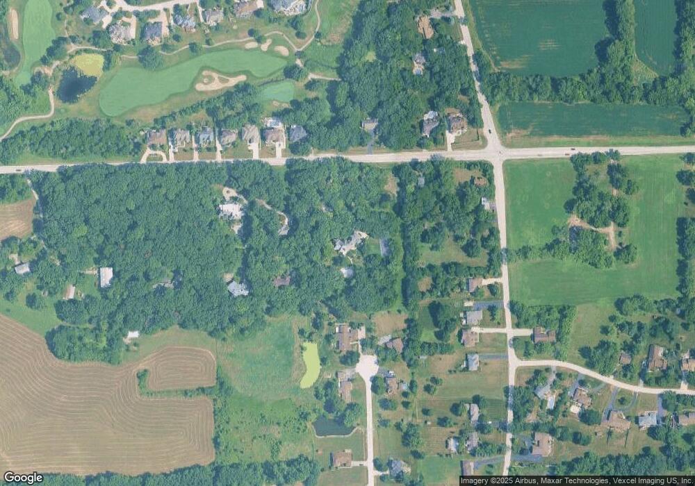
Map
Nearby Homes
- 14151 131st St
- 12744 Caruso Ct
- 12723 Caruso Ct
- 12652 Derby Rd
- 14605 131st St
- 13101 Eliza Ct
- 14690 Fox Hollow
- 13735 W Meath Dr
- 13175 Fox Ln
- 7 Loblolly Ct
- 13456 W Red Coat Dr
- 13100 Fox Ln
- 13220 Fox Ln
- 13245 Silver Fox Dr
- 1249 Cronin Ct
- 12624 Derry Dr
- 1369 Notre Dame Dr
- 12585 Eileen St
- 12644 Derry Dr Unit 34201
- 13815 Mccarthy Rd
- 14138 131st St
- 14106 131st St
- 14140 131st St
- 13200 Baltic Cir
- 13201 Baltic Cir
- 13130 Derby Rd
- 13110 Derby Rd
- 14123 131st St
- 13100 Derby Rd
- 14139 131st St
- 14142 131st St
- 14142 131st St
- 13140 Derby Rd
- 14144 131st St
- 13160 Derby Rd
- 13142 Derby Rd
- 14107 131st St
- 14151 131st St
- 14105 W 131st St
- 14105 131st St